Skykomish
3 - Big Eddy to Monroe
| Difficulty | I-II |
| Length | 19.3 mi |
| Avg Gradient | 18 fpm |
| Gauge | Skykomish River Near Gold Bar, Wa |
| Flow Rate as of 43 minutes | 619 cfsbelow recommended |
| Reach Info Last Updated | May 25, 2025 |
Starting from the Big Eddy access, this is a beautiful section of river with minimal development. The river undergoes a distinct transition at Big Eddy; from this point downstream, it takes on the characteristics of a large floodplain river. Forested islands, gravel bars, and abundant salmon spawning habitat define this stretch. Much of the riparian forest here has been protected through the efforts of Snohomish County, Forterra, and others.
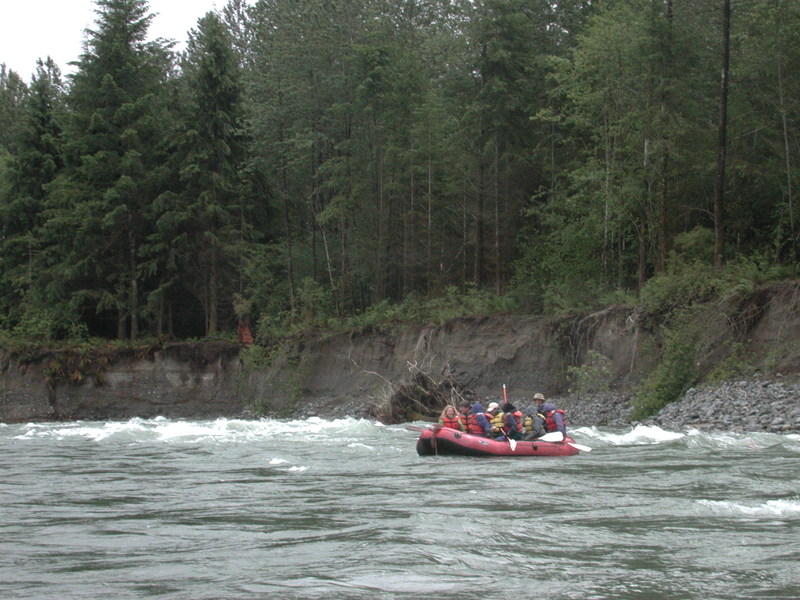
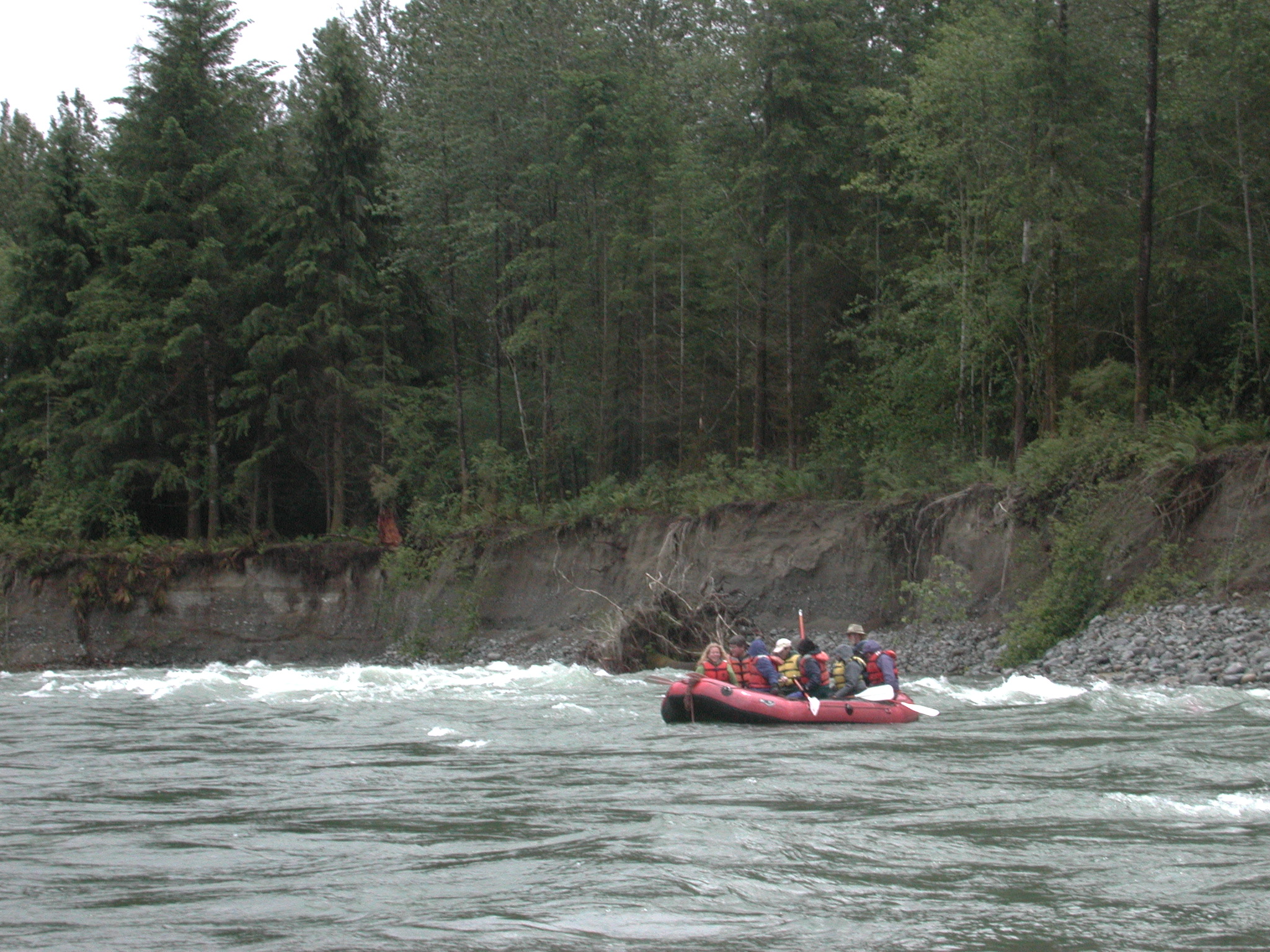
While this reach has few distinct rapids, the current is swift, with a couple of sections featuring waves and strong eddy lines. The river is popular with drift boat fishermen and experienced canoeists—this is not a place to learn on your own.
Although you can paddle to Monroe or continue down the Snohomish River all the way to Puget Sound (be sure to check the tides), a shorter option is to take out at the Sultan River confluence, where a well-maintained day-use park offers convenient river access.
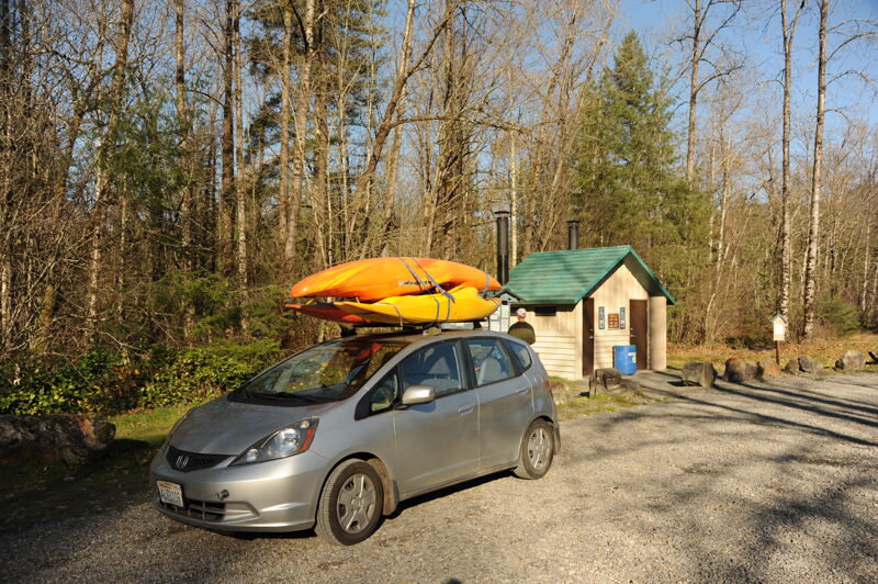
Access: The put-in is at the Big Eddy public access at Highway 2, mile 30.4, just east of the Highway 2 bridge across the river. This site offers ample parking and a convenient boat ramp. It is managed by Washington State Parks and requires a Discover Pass.
The put-in is on river left at the Big Eddy recreation site at Highway 2 mile 30.4. It is just east of the Highway 2 bridge across the river and on the downstream river left side of the bridge. This access is managed by Washington State Parks and requires a Discover Pass.
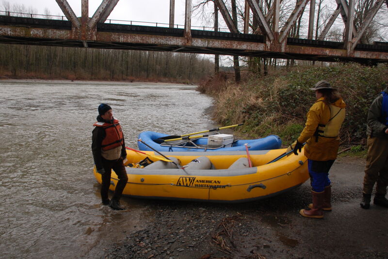
This access is managed by the City of Sultan and is located on the Sultan River at its confluence with the Skykomish River. The site has a covered shelter, picnic sites, informational signs, bathroom, and good access to the river suitable for trailered boats or hand-carry watercraft.
This access on river left is administered by Washington Department of Fish and Wildlife and requires a Discover Pass. The site has a concrete ramp but limited facilities.
Take out on river right downstream of the Lewis Street Bridge in Monroe. This site has a concrete boat ramp, bathrooms, and parking. The site is administered by Washington State Department of Fish and Wildlife and requires a Discover Pass.
Jun 27, 2020
Family did Sultan to the Ben Howard access point on June 26th in a canoe and two inflatable kayaks. Flow was at 6000 cfs. The right channel at ~2 miles from Sultan had a lot of logs with only a narrow passage between them.
Nov 18, 2018
Apr 23, 2015
Rafted a modified version of this route on April 20th 2015, starting 2.5 miles upstream of Big Eddy (see the Railway Bridge to Big Eddy trip, https://www.americanwhitewater.org/content/River/view/river-detail/3409/), and taking out at the Sultan River confluence (halfway along this route). Flow was 2950. We did the trip by packraft. Once we were in the water (e.g., not counting the setup time), the trip took 3.5 hours for the ~10 miles, with us paddling most of the time (we needed to make it to Sultan in time to get one of our party to the airport).
=====
Our shuttle/takeout car we had left in Sultan, next to the confluence (there is a park there where you can park if you have a Discover Pass -- though I did not see a place to purchase one). For the put-in, we parked at the highway pullout next to the railway bridge. This was a Monday, so we were the only car there. This was a sunny day, so the walk down to the river was not muddy at all, contrary to the description of the RailwayBridge put-in. While it might be more difficult with a kayak, the packrafts are super portable, so the walk down to the river was no problem.
=====
The first 2.5 miles (the section before the official start of this one) was good fun, lots of class II rapids that soaked us when splashing us, but did not seem to be much risk for overturning the packrafts (not sure about a kayak -- packrafts are generally much more stable). While we didn't necessarily *want* to swim, there were no fallen trees or log jams anywhere, so even if we had overturned, it didn't look too dangerous. This section took about 45 minutes to complete.
=====
From Big Eddy, the river mellowed (to the point that we even ate lunch on the water, letting the current take us and only needing to take to our paddles a couple of times). There was still some current (enough that if we didn't paddle, we still would have made it to Sultan eventually), but we needed to make it by a particular time, so we paddled almost all of the time. This would be a great section to take someone completely inexperienced on -- effectively no rapids, but a reasonable current to travel you down the river, and fantastic views. The views of the mountains were excellent, and the river flows through a remote section that only comes towards the road and civilization near Gold Bar and Sultan.
=====
Great time on the river.