Sol Duc
1. Salmon Cascade to FR 2918 Bridge
| Difficulty | IV |
| Length | 3.3 mi |
| Avg Gradient | n/a |
| Gauge | Sol Duc R. Nr Quillayute |
| Flow Rate as of 1 hour | 15.30 ftbelow recommended |
| Reach Info Last Updated | March 3, 2026 |
American Whitewater is proud to be a leading partner in the Wild Olympics Campaign, a collaborative effort to protect the wild rivers, ancient forests, and salmon habitat of Washington’s Olympic Peninsula. Working alongside conservation and recreation organizations, American Whitewater helped launch this campaign with the leadership of our local [...]Read More
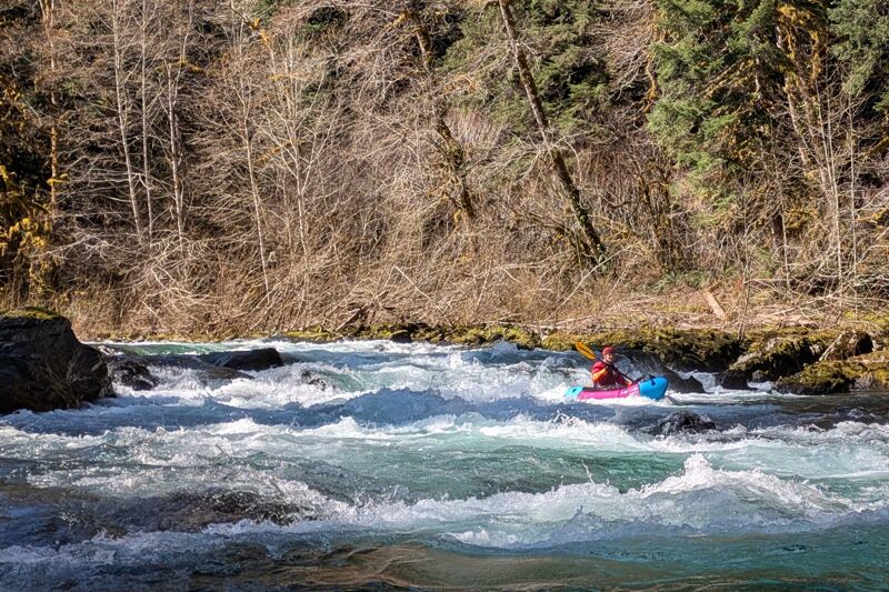
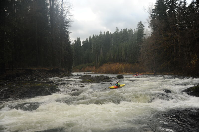
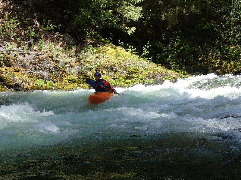
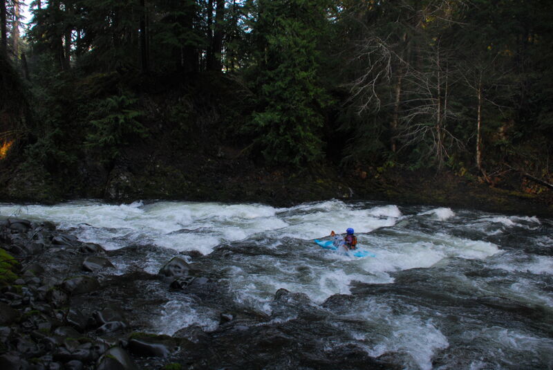
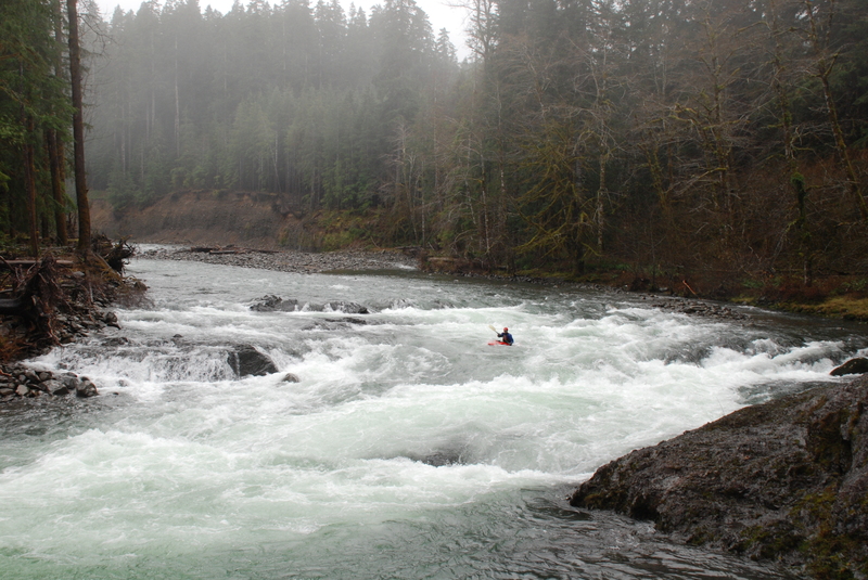
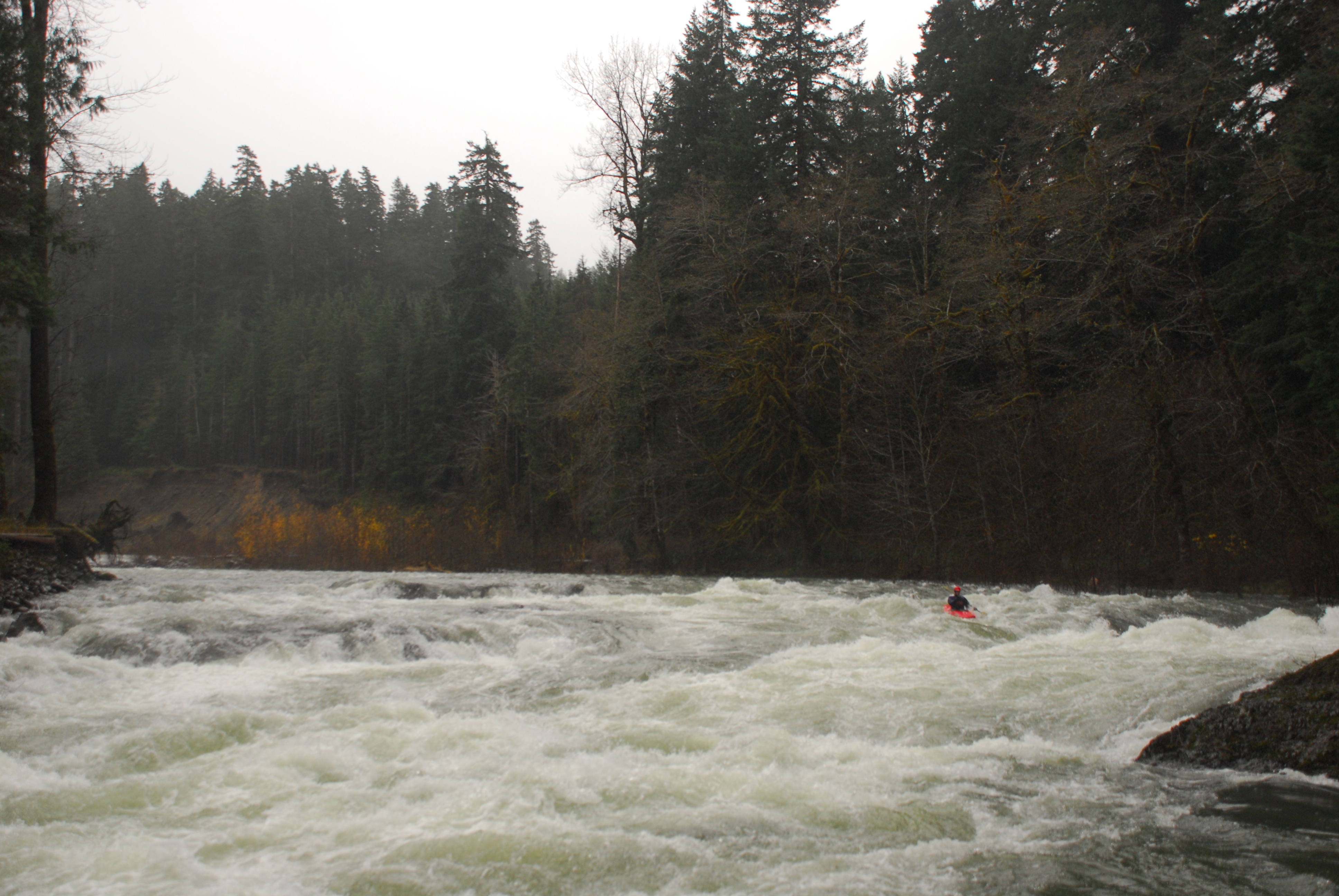
This run offers continuous, exciting class III whitewater with some fun class IV rapids and a couple of great play spots. The flow is typically driven by winter rainstorms and is best when rivers are moderately high.
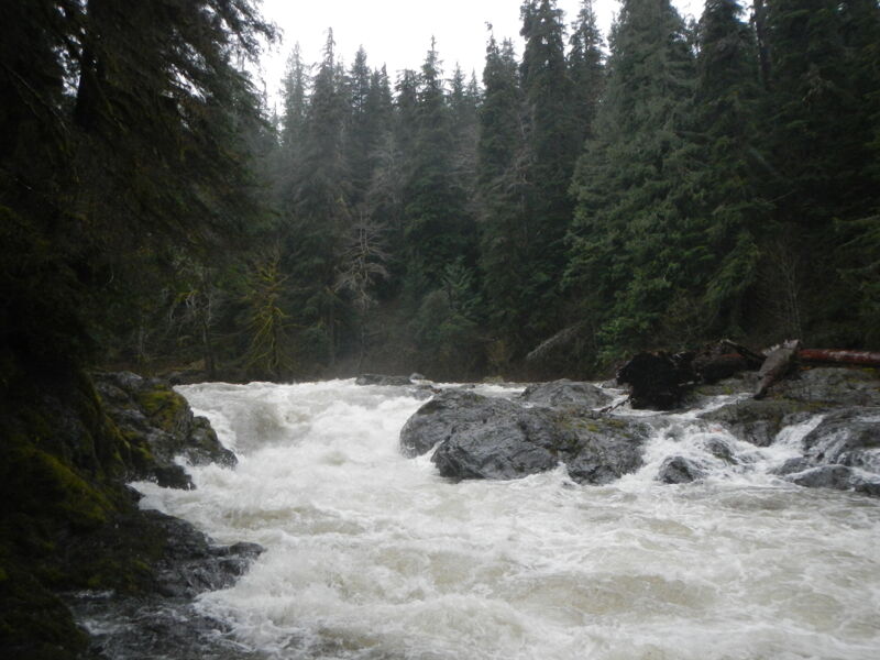
While it's possible to start higher up, the best whitewater begins at Salmon Cascade. This class V drop is occasionally run but can be challenging, especially at lower flows, with a daunting wall on river right. If you choose to start higher, it's worth stopping to inspect this drop so you can plan your run or portage route accordingly.
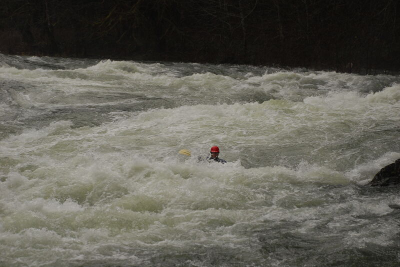
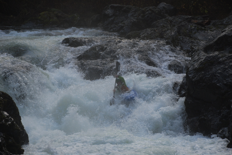
Most paddlers begin at the base of Salmon Cascade and enjoy continuous whitewater all the way to the bridge. The run is primarily class III+ with a few class IV sections, featuring endless boulder gardens. As the water rises, the difficulty increases, with fun surf waves, holes, and whirlpools, but most of the run is read-and-run. One of the final rapids is a large ledge drop just downstream of the South Fork confluence, visible from river left. This rapid is difficult to scout from your boat, so it's a good idea to check it out from shore. The standard scouting or portage route is on river left. A large hole forms just right of center, which most will want to avoid. There are good eddies and nice play spots at the bottom of this drop. For those looking to extend the run, you can continue downstream to one of the access points along Highway 101. After the FR 2918 Bridge, the difficulty backs off to class III.
for additional information see
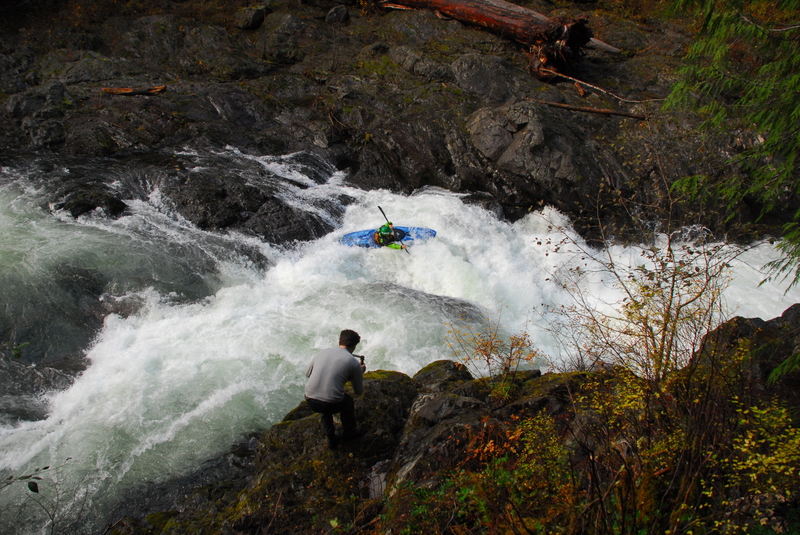
Most put in at the base of Salmon Cascade but the rapid is run.
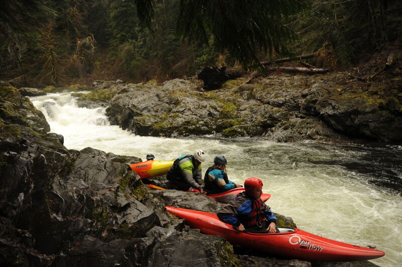
At mile 219.2 on Highway 101 take Sol Duc Hot Springs Road south into Olympic National Park. The put-in is at mile 7.3 on Sol Duc Hot Springs Road at the viewing area for Salmon Cascade. Note that Sol Duc Hot Springs road is typically closed with the first big snow and left closed until plowing at Hurricane Ridge stops. Check with Olympic National Park for the latest conditions. Located at USGS river mile 57.1.
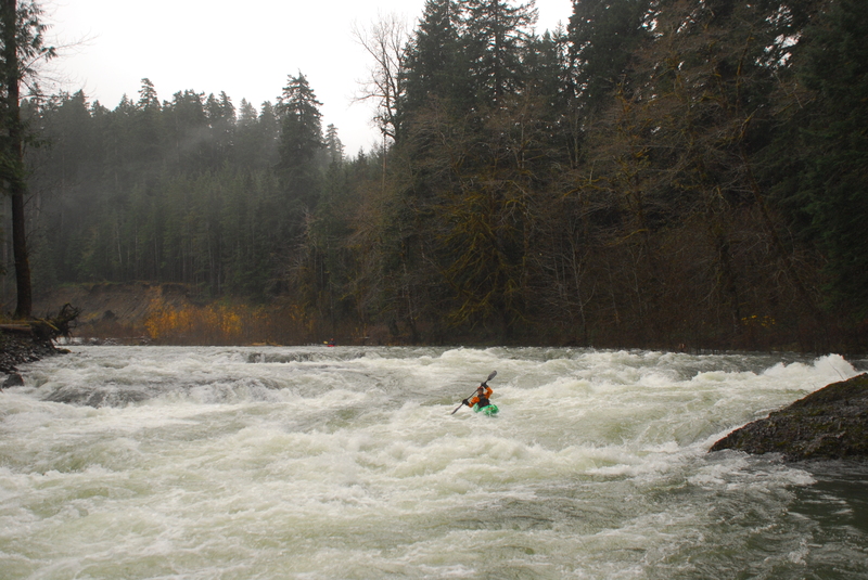
The big Ledge Drop drop rapid, a highlight of the run.
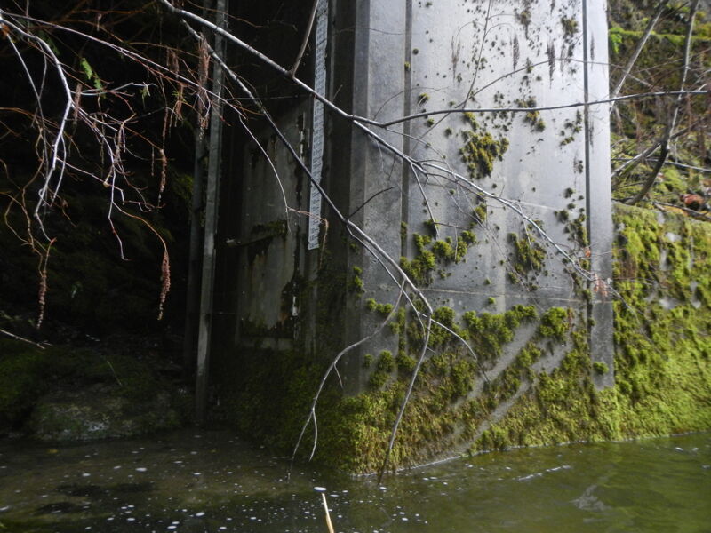
USGS gaging station (stn. 12041500, 1917-1980) at mile 4.9 on Sol Duc Hot Springs Road. Located at USGS river mile 55.0.
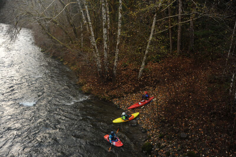
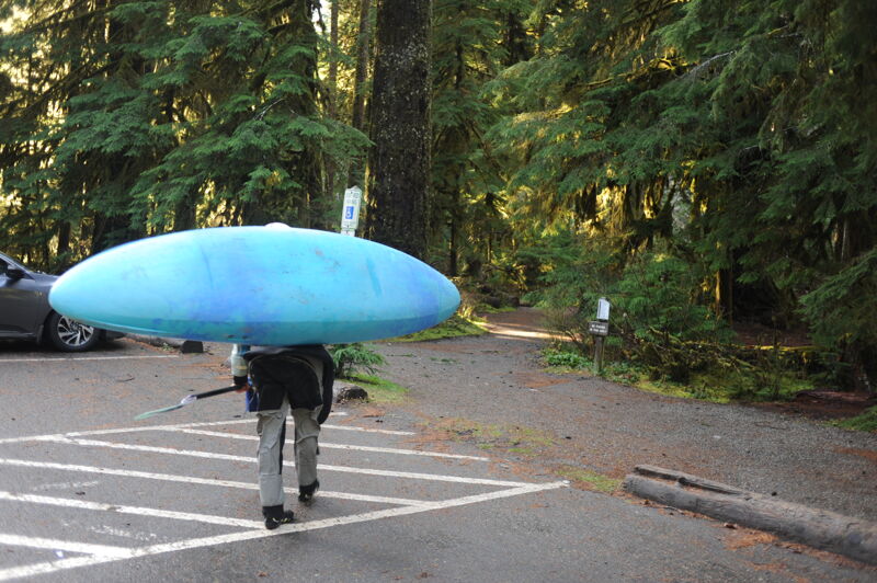
At mile 219.2 on Highway 101 take Sol Duc Hot Springs Road south into Olympic National Park. The takeout can be reached at mile 4.2. You need to walk across the vegetated strip between Sol Duc Hot Springs Road and FS 2918 to get to the bridge (good access downstream on the river right side of the bridge), but it's a short hike with boats (the two roads are connected at mile 3.6, but it's gated). This access is located at USGS river mile 54.0.