Twisp
Buttermilk Creek to town of Twisp
| Difficulty | III |
| Length | 13 mi |
| Avg Gradient | 54 fpm |
| Gauge | Twisp River Near Twisp, Wa |
| Flow Rate as of 49 minutes | 126 cfsbelow recommended |
| Reach Info Last Updated | July 17, 2022 |
The Okanogan and Wenatchee National Forests encompass more than four million acres and are jointly managed with headquarters in Wenatchee, Washington. The rivers flowing through these forests are essential to the whitewater paddling community—both as close-to-home runs for Washington residents and as classic objectives for paddlers traveling from across [...]Read More
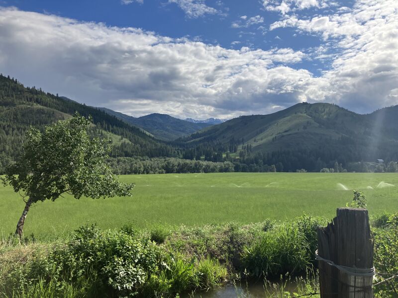
The Methow Valley is one of the most important landscapes in the state of Washington and of national significance for outdoor recreation with a diversity of opportunities for the recreational pursuits our members enjoy. Every spring, whitewater boaters enjoy the experiences on the Methow River, Chewuch River, and Twisp [...]Read More
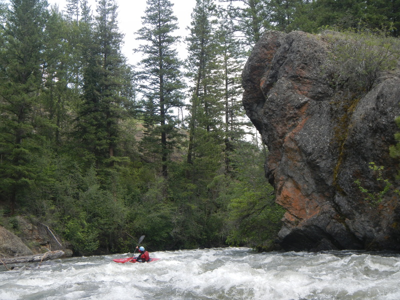
Spring snow melt out of the Lake Chelan - Sawtooth Wilderness makes the Twisp a great class III whitewater run with nearly continuous action. Typical trips start by gathering at the bakery in Twisp. The river corridor is largely in private ownership but it is mostly forested with a few cabins along the riverbanks.
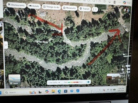
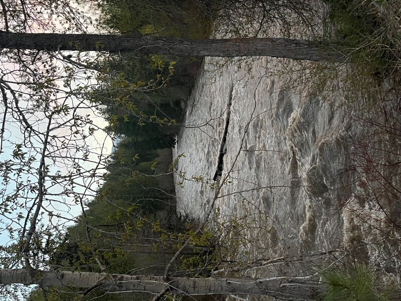
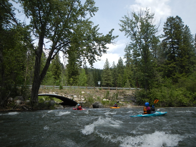
From the upper put-in at Buttermilk Creek the river begins with fun class II. Be aware of wood hazards which can occur anywhere along the run but particularly in the first couple miles.
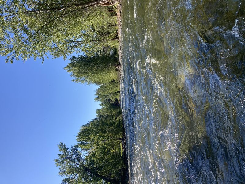
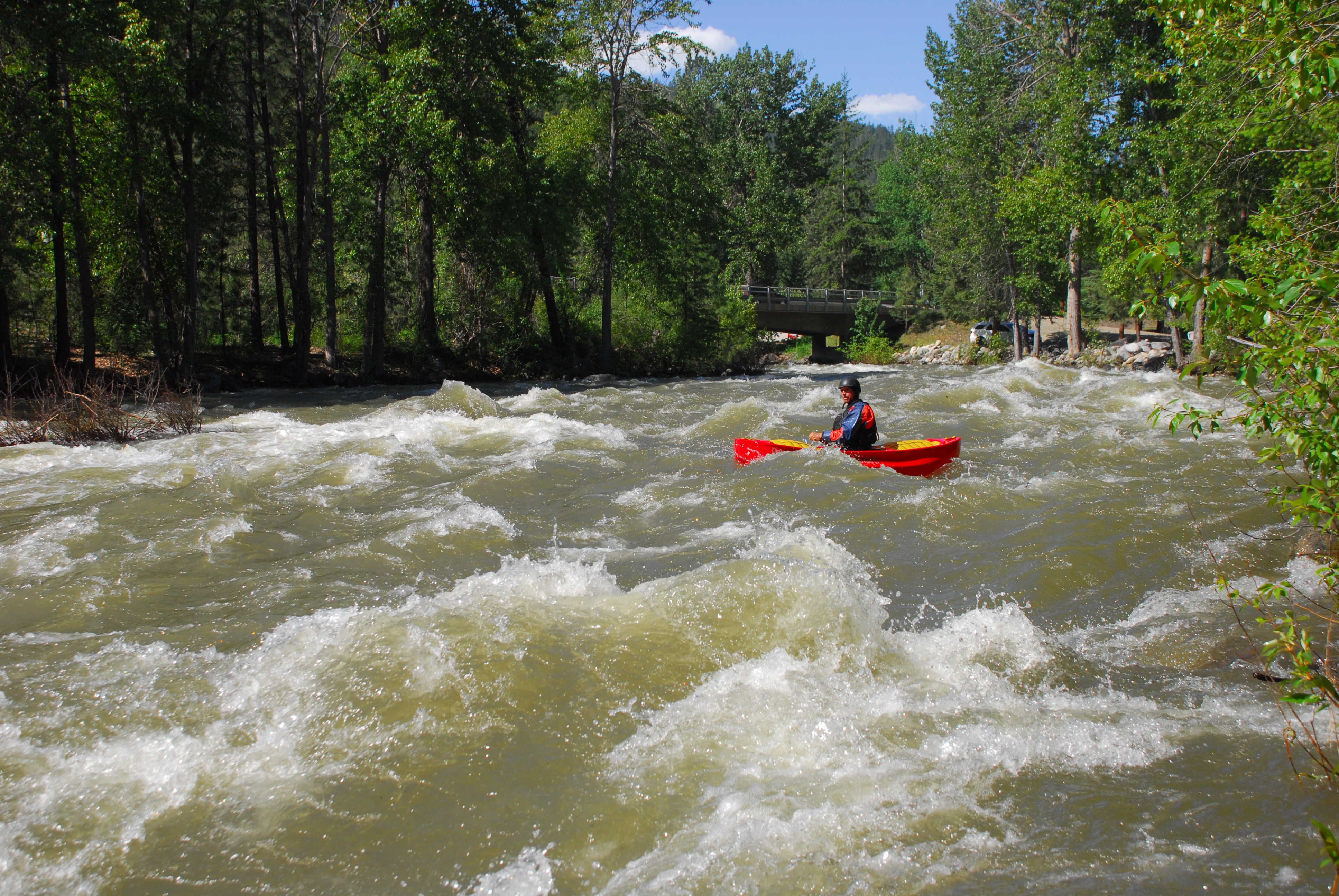
As you pass Little Bridge Creek (an alternate put-in location) the action begins to pick up as the run transitions to class III. For the next 4.5 miles you will enjoy continuous intermediate whitewater. Midway along this section you will reach the fish collection dam (a sign warns of the approach). It's an easy portage on river left but can be run in the right location at certain flows.
Downstream of the dam is a great rapid and some more fun bedrock headwalls. As you pass under the Poorman Cutoff Road Bridge (a possible take-out for those looking for a short run) the action tapers off and transitions to class II.
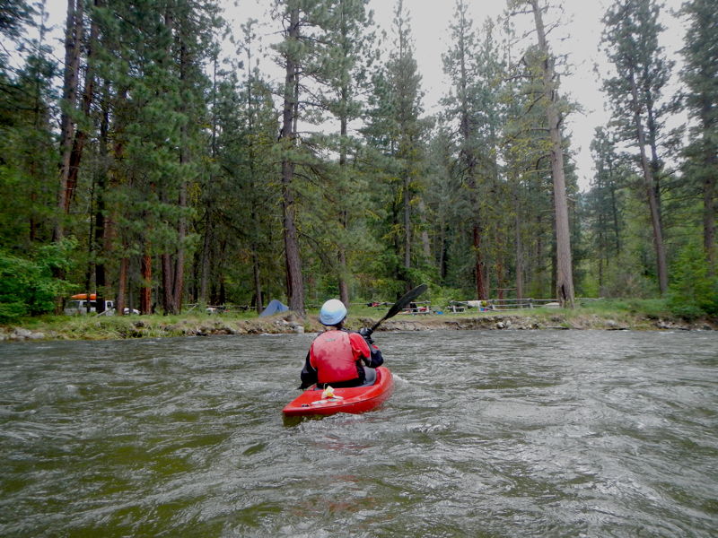
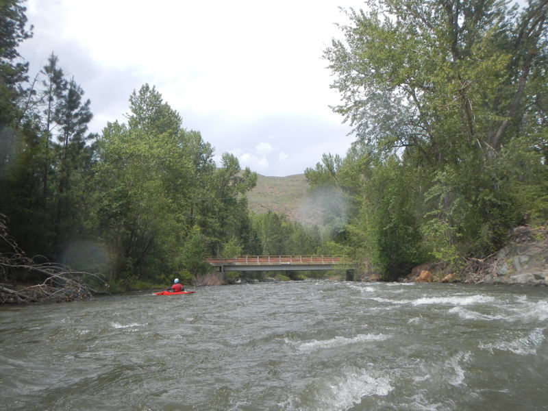
You can continue on the river all the way into town and take out at the park where the Twisp joins the Methow River. It's a nice grassy park to dry out your gear and hang out or just walk up the street to local establishments in town while the shuttle drivers pick up the put-in cars.
Logistics: You can take-out at Twisp Park at the Methow River confluence. Head east off Highway 20 at mile 201.4 and turn onto Twisp Avenue in the middle of town. Continue two blocks then turn left on Lincoln Street and follow it a block to the Twisp Park and public swimming pool where the Twisp River joins the Methow (from here it is walking distance to the bakery or other businesses in town).
To reach the put-in and alternate access points upstream, head west off Highway 20 mile 201.4 on 2nd Avenue which becomes Twisp River Road. At 1.2 miles
...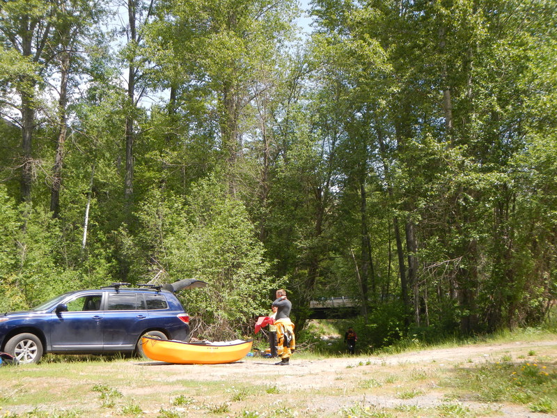
Put-in at the upstream river right side of the Buttermilk Road Bridge. Parking is available for a few cars and it is a short walk to the river.
Dispersed camping area on Forest Service land that makes a potential location to spend the night and launch from where you camp.
Roadside access at the start of the class III.
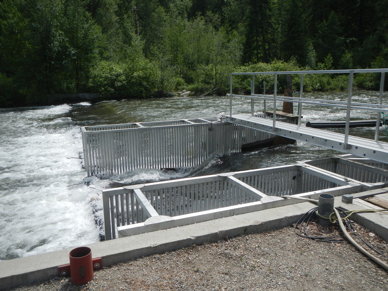
Portage around this structure on the left.
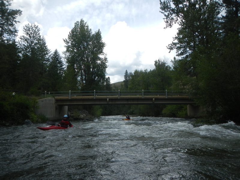
Access is available at this bridge that marks the end of the class III.
This is a good access point that is often used as a take-out for those not continuing all the way into town.
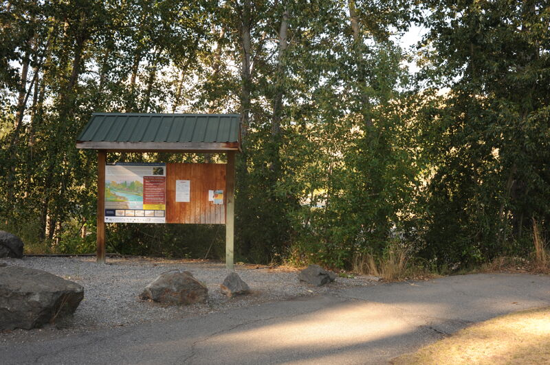
Take out in Twisp Park at the confluence with the Methow River.
Jun 4, 2026
We ran this river twice in packrafts at about 640 CFS and about 550 CFS. We did not see any warning sign for the fish diversion dam. We could not see a way to portage the fish diversion dam on river left. Plus, the metal grates just downstream of the low head dam were exposed several inches above the water surface. This made for a mandatory and difficult portage on river right. There is a floating 'fence' on river left made of long cylinders connected end to end on a cable that force anything that is floating out away from the concrete/steel structure and over the dam. Note also that just above the diversion dam the river splits around a small island. The left channel around this island also has a small low head dam, location 48.37985662270801, -120.2454820009975, which we did not get a good look at. I suggest running the right channel around the island and avoiding this smaller low head dam entirely. We ran the river twice: 6/4/2026 and 6/6/2026. The first trip we portaged both low head dams. On the second trip, we took the right channel and avoided the smaller low head dam entirely. No unavoidable wood hazards encountered, although there are lots of human engineered log structures along the shores, presumably to create fish habitat.
May 23, 2023
Despite earlier reports of wood on here and from John at EQPD in town, I saw none on my solo packraft trip from Buttermilk Creek down to the intersection of Twisp River Rd and Poorman Creek Road. Just a fun continuous II/III run with a beautiful bike shuttle.