White Salmon
2 - Trout Lake to Green Truss Bridge(Farmlands)
| Difficulty | IV-V |
| Length | 5.2 mi |
| Avg Gradient | 60 fpm |
| Gauge | White Salmon River Near Underwood, Wa |
| Flow Rate as of 37 minutes | 527 cfsbelow recommended |
| Reach Info Last Updated | July 23, 2026 |
Washington’s legendary volcanoes – Mount Rainier, Mount St. Helens, and Mount Adams – are the source of wild, free-flowing rivers and streams that cascade over big drops and through deep basalt canyons on their way to the Columbia River. Rivers like the Clear Fork of the Cowlitz, Cispus, Green, [...]Read More
Working closely with partner organizations, American Whitewater has played a leading role in stewardship projects addressing both conservation and public access on the White Salmon River in Washington. Over decades of advocacy, we have helped secure federal Wild and Scenic designation, established public access points, and supported the complete [...]Read More
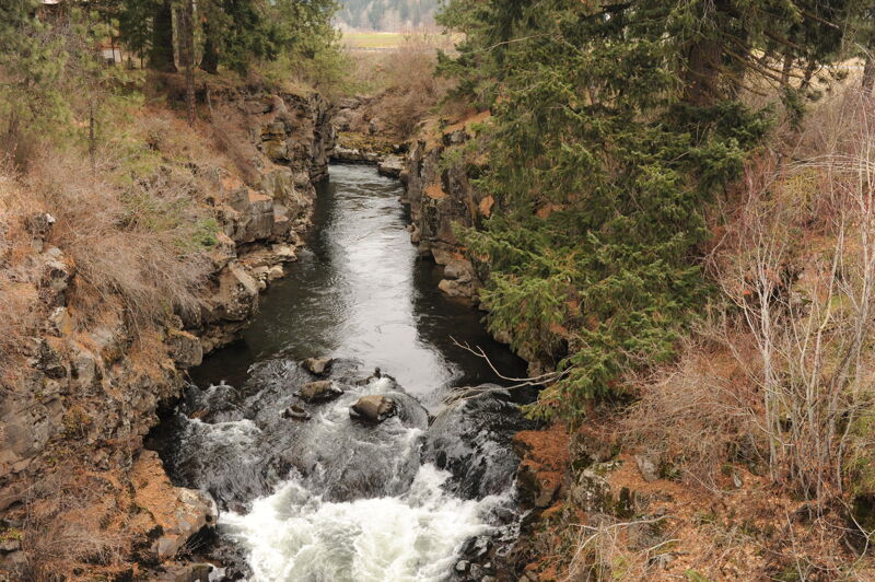
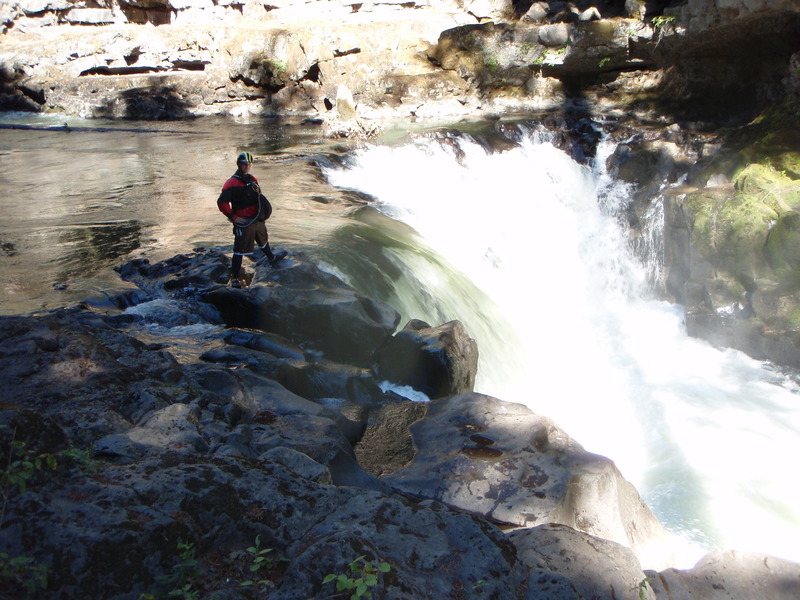
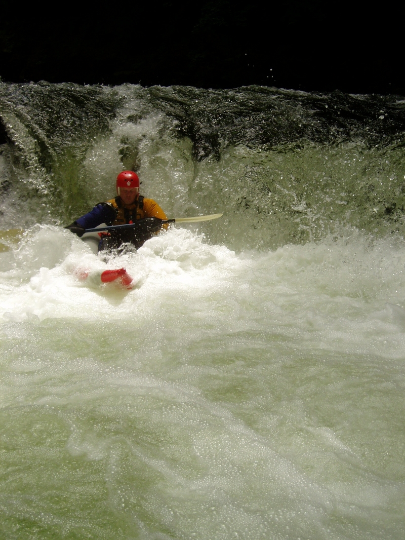
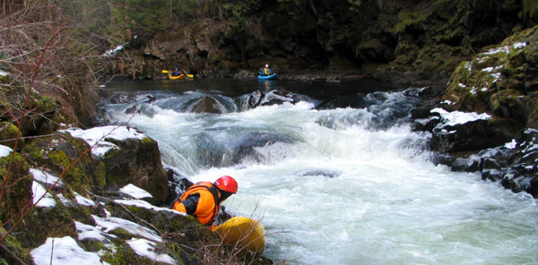
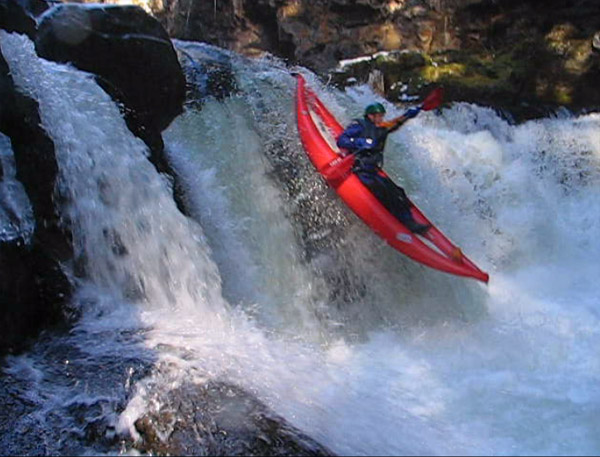
The Farmlands is the uppermost section of the White Salmon that is commonly run. Most folks put in at a small pull off next to sidewinder rapid in the Trout Lake Valley, though another 1/2 mile up the road there is another put in that has a sweet warmup mini-gorge. Try to park mindfully to keep relations good between farmers that sometimes use the pull off to turn their tractors around. Warmup ledges bring you deeper into the canyon where the river bears around a lefthand bend an excellent auto boof awaits downstream on river right that is one of the best boofs on the entire White Salmon. Excellent ledges and pool drop rapids continue in this first canyon. Be mindful that although the rapids are class IV at normal flows, you are quite committed and swims are difficult to deal with a dangerous in this canyon. After a clean 10 footer and two more rapids. A few miles of class II will lead you into another nice fast mini gorge that exits with a twisting 10 footer called sidewinder. Generally drive left to right as there is a crack on the left that could result in a pin. It is possible to portage left but difficult, if water is low and you wish to not run the rapid, you can catch the eddy river left right above the lip and scooch over the far right shelf to seal launch in. Another half mile of boogie will lead you to the Carr road takeout, which is usually used when icy in the winter, or in the spring and summer, just downstream climb up the cliff to the normal truss putin and use as a takeout. the second rapid below Carr road has a crack on the left that feeds into a small cave, that causes more carnage than any rapid on the white salmon besides Bz, go far right.
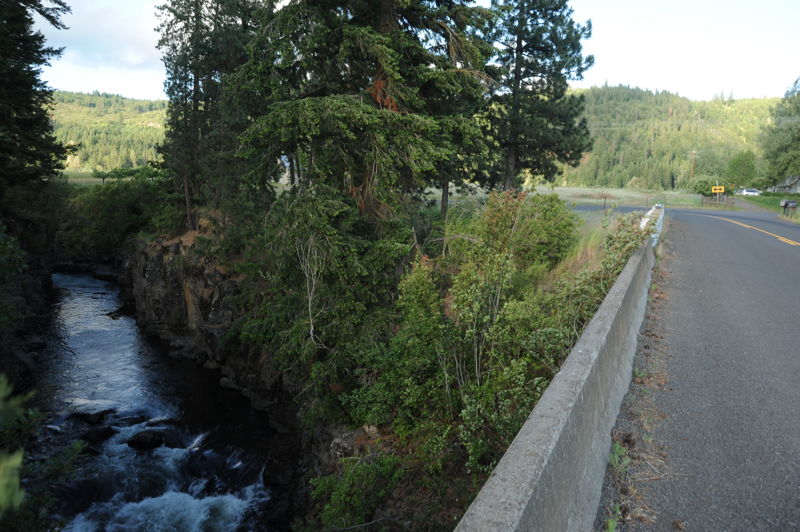
Most class V boaters continue down the first mile of The Truss from here and take out river right before big brother falls or continue downstream to through the truss. If taking out a big brother climb the steep path that leads down to the lip of the falls and follow the trail then take a right to bri
...
The traditional access site has been on the upstream river left of the Sunnyside Bridge but the site is private property and parking is very limited.
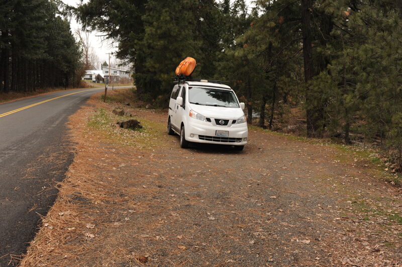
Rapid that is also used as an access point but includes private land. Parking is limited and maintainng a positive relationship with local residents is important.
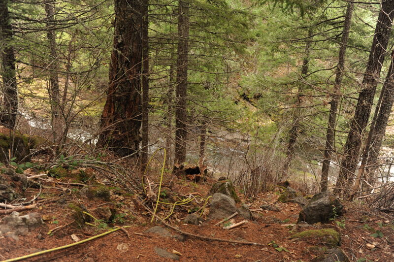
The take-out is on private land, previously owned by SDS Timber but now owned by The Conservation Fund as the Lupine Forest. Please treat this access point with respect. The preferred access point is upstream of the Truss Bridge on river right directly across from Carr Road.
Jul 10, 2011
There's new subsurface wood in the outflow of Off Ramp as of 7/9/11. Just a couple of twigs are above the surface at 3.6, and it look like a fir or hemlock. It looks and feels as if there is a larger stem sticking into the left bank where the current is. There's hearsay that someone was stuck on it, but I haven't heard from anyone who has actually seen a pin..