Big Creek
Arkansas state line to Page, OK (6 miles)
| Difficulty | II-III |
| Length | 6.3 mi |
| Avg Gradient | 60 fpm |
| Reach Info Last Updated | November 7, 2005 |
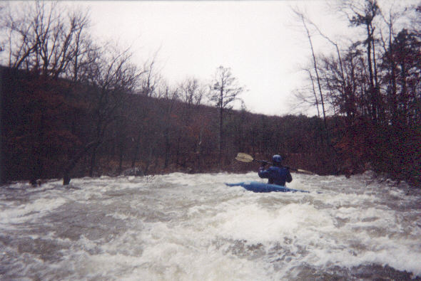
Running between the Black Fork and Rich Mtns along Hwy 270, this is one of Oklahoma's best. Steep, braided, twisting rapids hundreds of yards long, blind turns in fast rapids, and mucho trees. At high levels it's a scream all the way.
No trip reports yet.