| Difficulty | I-III |
| Length | 3.6 mi |
| Avg Gradient | 12 fpm |
| Gauge | Mulberry River Near Mulberry, Ar |
| Flow Rate as of 53 minutes | 1.50 ftbelow recommended |
| Reach Info Last Updated | January 25, 2009 |
River Description
This reach does not have a description. If you know about this reach, please tell us about it!
River Features
Redding Put-in
Access PointDistance: 0 mi
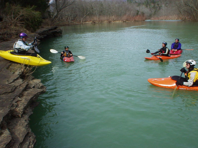
The river left bank across from the USFS Redding Campground has a ledge from which paddlers can seal launch into the river.
Put In
Access PointDistance: 0 mi
Take Out
Access PointDistance: 3.6 mi
Trip Reports
Log in to add a reportNo trip reports yet.