Whiterock Creek
2. Anderson-Bonner park to Forest Lane (1.5 miles)
| Difficulty | II-III |
| Length | 0.9 mi |
| Avg Gradient | 10 fpm |
| Gauge | White Rk Ck at Greenville Ave, Dallas, Tx |
| Flow Rate as of 32 minutes | 19 cfsbelow recommended |
| Reach Info Last Updated | July 14, 2015 |
For more information, see 'Flow Info' tab.
For more information, see Texas Whitewater 2nd Edition.
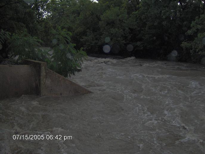
Jul 15, 2005
Looking downstream from the putin #4
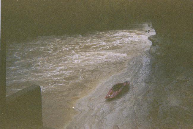
looking upstream at putin #4
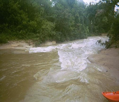
1st play spot below putin #4
Jul 28, 2004
putin#4 looking upstream. This put in is the first park south of 635 (LBJ freeway). You can park here, run the creek to medical city then hike back up and do it again.
putin #4 looking downstream.
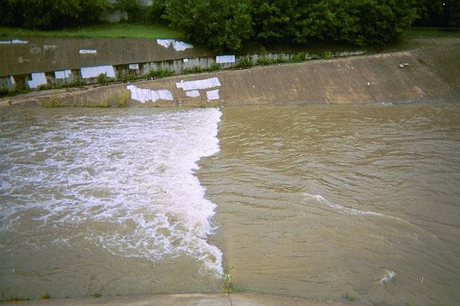
this wave is about half way down.
There are two holes here this is the second one the first one washes out at this level, and the second turns into a big wave and then washes out at higher flows.
take out is before the concrete on river left this puts you right behind Medical City.
Jun 9, 2004
Notice the road on river right; you can drive right down to the wave!
This is about 3/4 of the way down.
Jan 1, 1900
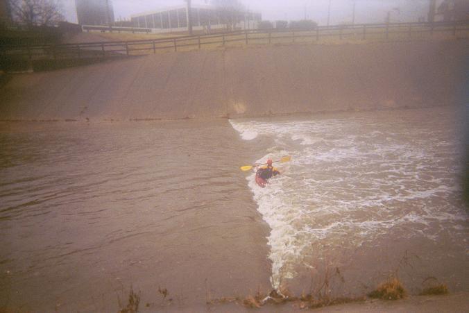
Best spot on this creek at this level.
This wave is just upstream of Forest ln. It only forms between 2100cfs-2800cfs +/-.