Pike, N.Br.
B) Four Falls: Twin Lake Road to Eight Foot Falls (3.27 miles)
| Difficulty | II-IV |
| Length | 3.3 mi |
| Avg Gradient | 23 fpm |
| Gauge | Pike N.br. at Bull Falls |
| Flow Rate as of 48 minutes | 41 cfsbelow recommended |
| Reach Info Last Updated | March 1, 2022 |
This is named the 'Four Falls Section' in honor of (what else) the four falls which are highlights of this run. You will encounter (in order): Bull Falls (more of a rapids, really), Eighteen Foot, Twelve Foot and Eight Foot Falls. Heights (in general) are exaggerated.
All falls are runnable at good water levels. Below the 'recommended minimum' it may be possible to drop a couple of the falls, but they will be bony 'boat abuse'. At high water the falls will develop some meaty holes.
Other than the four falls, there is almost nothing but flatwater on this reach, so it is highly advisable to take a good look at 12' and 8' Falls before shuttling and putting on for this run. (If you are not running the falls, you are essentially doing a flatwater trip with scenic portages.)
This entire area (18-Foot Falls, 12-Foot Falls, and 8-Foot Falls) is readily accessible via a Marinette County Park. In appreciation for the facilities provided (parking, bathrooms, campgrounds, etc), *** please be honest and pay the requested fee.*** Paying the fee gets you legal access to as many different parks in Marinette County as you can visit in one day. Thus, if you might plan to look at and/or run the nearby 'Big South Falls' section of the South Branch Pike, or Dave's Falls, or head up to Long Slide Falls or Smalley Falls (on the Peme Bon Won) either before or after this run, one fee would cover all these parks.
Watch the following video guide to this run: https://youtu.be/FWQlNMZcN2k
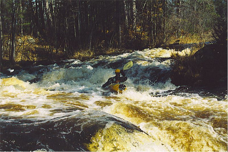
A house on river left has a (rather rickety last time I was there) footbridge across the stream. (The property owner warns do not cross over on the footbridge.) Just beyond, the river drops down Bull Falls. Much more of a sliding rapids than a 'falls', you none-the-less probably want to scout this (river-right, unless permission is obtained from home-owner river-left). After the initial pitch, this dog-leg rapids twists to the left before hitting calmer water.
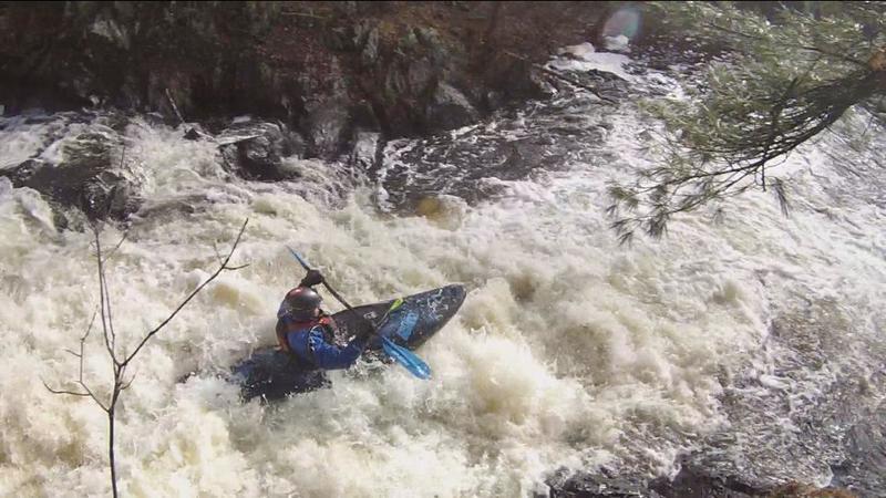
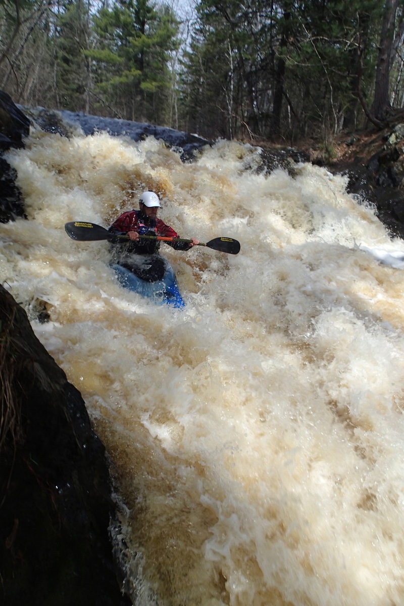
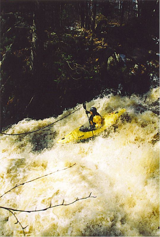
A steep sliding falls (not really 18'). There is access for this falls from a dirt/sand/gravel road. From the parking/cul-de-sac, it is about a 275 yard (~0.16 mile) walk on a stone ridge to get to the falls. While it is not particularly a difficult walk, neither is it ADA compliant (not handicapped accessible).
Any boaters wanting to do a 'park-and-huck' may shorten the walk back to their vehicle by paddling downriver (after running the falls) about 200 yards, taking out just as the river bends to the left. From the river-right shore, a very short climb upslope gets you back on the trail within a hundred yards of your vehicle. You can then drive back to Twelve-foot Falls County Park where you can carry up to huck 12' Falls and paddle down to 8' Falls before carrying back to your vehicle, catching three of the four falls without bothering with a shuttle!
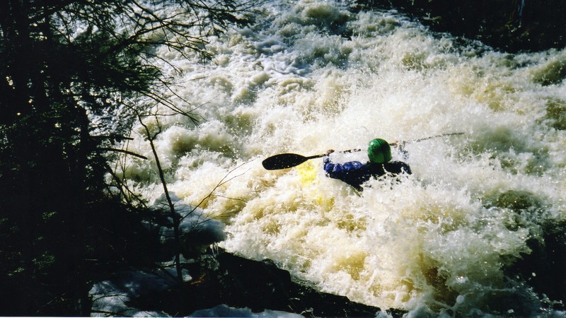
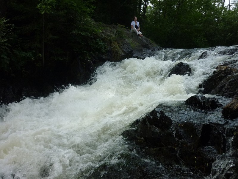
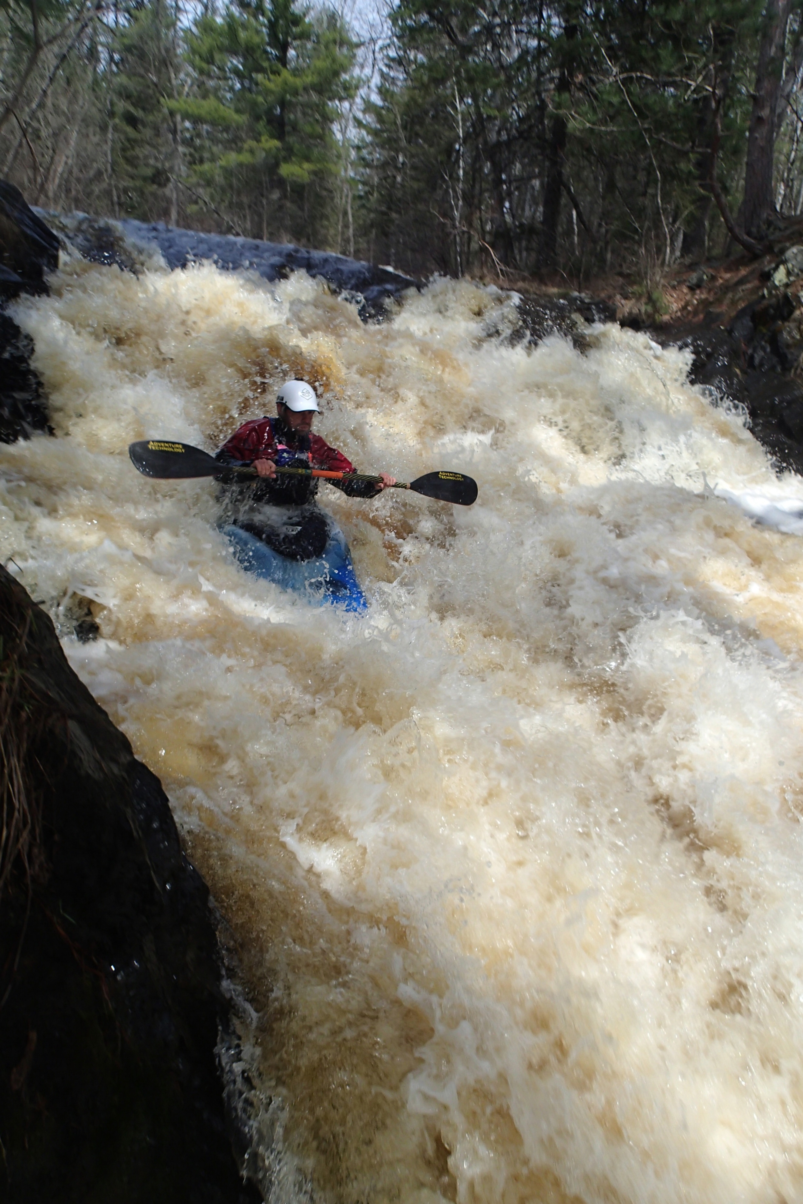
Another sweet sliding falls (not really quite 12'). Access is great from Twelve-foot Falls County Park. The trail to get above the falls is pretty decent, though not particularly wide or convenient. (Experienced boaters, of course, will be pretty used to this sort of scramble and bushwack to scout/portage/carry up or down around rapids and falls.) When running falls at higher flows, be very cautious of the big hole at the base! Flow heads out to the left (south) of the pool (with often slightly congested split channel). After 185 yards, it bends sharply left, proceeds about 65 yards more, then encounters another dike of rock to drop across (8' Falls).
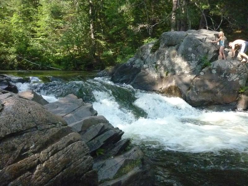
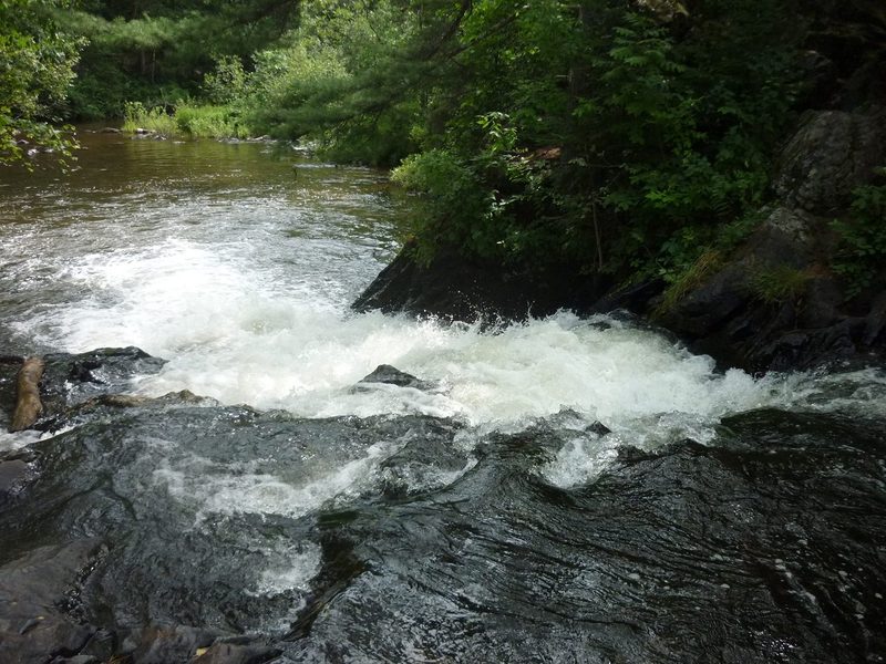
The final of the four falls on this reach, again a sliding drop, again height overstated (it's more like 5'). While this is the shortest drop, it is also the widest (still not all that wide, though) and (more to the point) most uniform. As a result, at moderate or higher flows, the hole at it's base can be pretty aggressive! While it can be run most anywhere, flow generally 'pushes-through' the best just off the right shore. Running further left can result in being stopped and unintentionally surfed in the sucky crease!
Take out immediately below to carry back through the campgrounds to your vehicle.
For anyone interested or curious, there is nothing but flatwater (ok, perhaps very minor riffles) downstream from here until the next listed reach (which has only class I-II rapids).
Nov 12, 2014
Tony Catania exiting the bottom of 18ft falls@500cfs
May 13, 2014
A group of Hoofers from UW Madison Ran this section on 05/11/2014 at 170 CFS. The rapids are alright but the shallow flatwater section with rocks inbetween the rapids make this section a frustrating ordeal at this level. The rapids are not too conducive to begginner paddlers and its not worth the trouble for advanced if there are other better stuff running in the area.
There are two river wide strainer just before 12' falls but can easily be walked around.
May 5, 2013
Adrian runs 18' Falls in his Rockstar.