| Difficulty | I-II |
| Length | 9 mi |
| Avg Gradient | 10 fpm |
| Gauge | Peshtigo Approximation at Ccc Bridge |
| Flow Rate as of 52 minutes | 90 cfsbelow recommended |
| Reach Info Last Updated | November 22, 2009 |
River Description
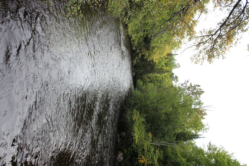
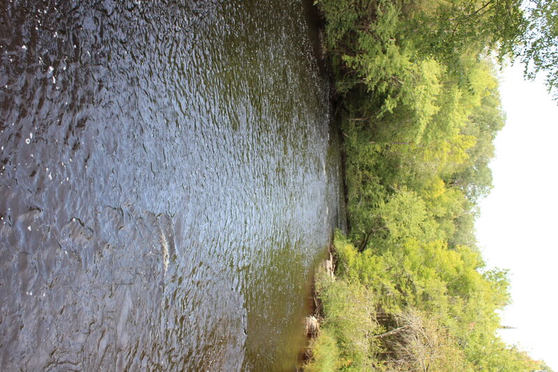
Three rapids (marked, but unnamed, on the topo maps) populate this upper reach of the Peshtigo.
River Features
Put In
Access PointDistance: 0 mi
Drainage: ~173 sq.mi.
OtherDistance: 0 mi

The drainage area at our listed put-in is about 173 square miles (as calculated using USGS StreamStats beta software). By our take-out, drainage has increased to about 203 sq.mi. (an increase of ~17%).
Since drainage at the USGS gauge on the Peshtigo has drainage area of 447 square miles, flow in this section may average 0.387 - 0.454 times (call it about 4/10ths) the flow in the Roaring Rapids section.
Take Out
Access PointDistance: 9.2 mi