Rockaway Creek
Mountainville to McCrea Mills(not to be confused with the Rockaway <b>River</b> in Boonton)
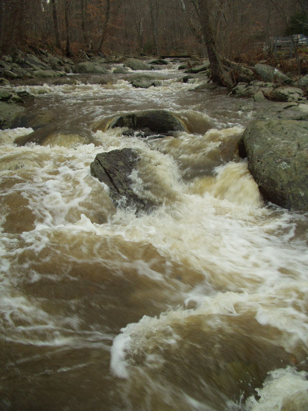
| Difficulty | II-IV |
| Length | 3.9 mi |
| Avg Gradient | 62 fpm |
| Gauge | South B Rockaway Creek at Whitehouse Station Nj |
| Flow Rate as of 1 hour | 121 cfsrunnable |
| Reach Info Last Updated | August 7, 2019 |
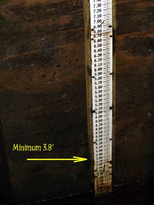
This generally runs in March or after any very hard rain. The onsite gauge is on the River right bridge abutment, upstream side, on Rt. 523 just South of Rt. 78. It should read 3.8'Put-in.
There are a few options for put-ins. I would now suggest putting in onto Guinea Hollow Cr. (on river left, just downstream of the bridge) You should be able to get away with parking along Guinea Hollow Rd.
All o
...Dec 1, 2004
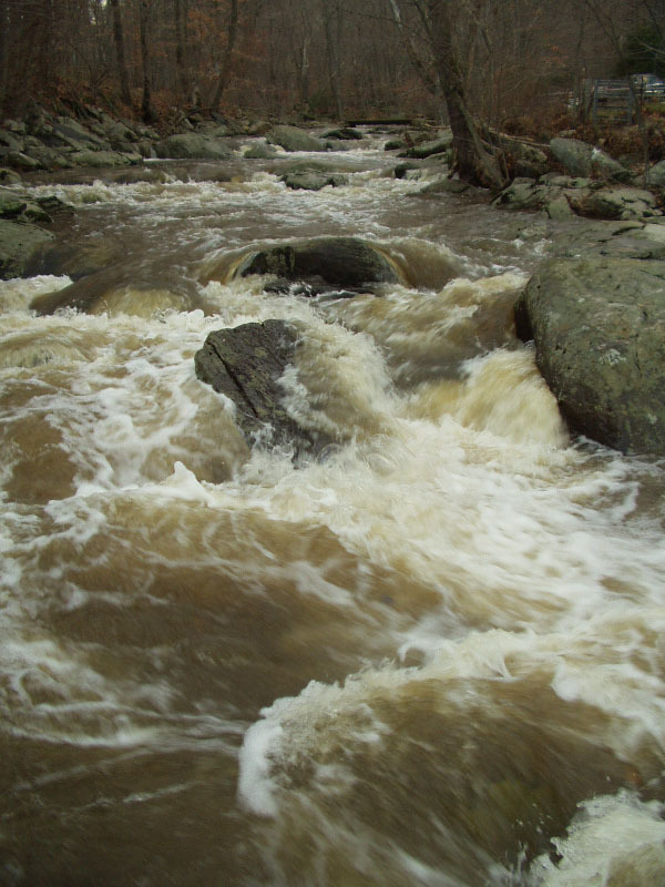
This rapid is a series of ledges below the low water bridge, about 1/3 mile below Mountainville.
Jan 1, 1900
This shows the closest rain gauge to Rockaway Creek #6500
This gauge is downstream of the run. However, it is the closest gauge to the run. If it is at 3.8 and rising you'll be all set.
This Map is the smaller, lower quality version.
This map shows the major landmarks around Rockaway Creek. There are no developed or 'standard' put-ins or take-outs, these are just suggestions. Watch out for strainers, creeks like this can change overnight.