Deschutes
02. Pringle Falls to Big River Campground

| Difficulty | I-II |
| Length | 15.7 mi |
| Avg Gradient | n/a |
| Gauge | Deschutes River Below Wickiup Res., or |
| Flow Rate as of 8 hours | 1210 cfsrunnable |
| Reach Info Last Updated | March 2, 2023 |
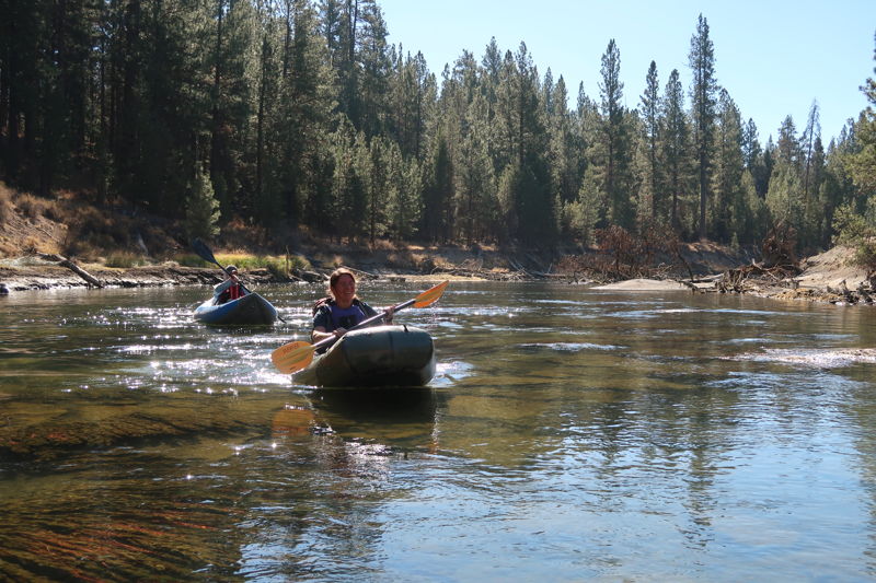
The first half of this run down to La Pine Campground is a flatwater paddle through a forested landscape within the Deschutes National Forest. Be aware of the Tetherow Log Jam that is a required portage on river left along a 250 yard portage trail.
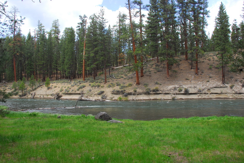
Below La Pine Campground the setting is more open as the river meanders and flows through the wetlands of the Deschutes Land Trust Thomas Preserve.
For additional information on recreational opportunities see the Deschutes National Forest web site.
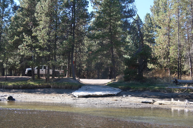
Logistics: From Highway 97 mile 165.3 turn onto Burgess Road and follow it 7.3 miles down to the Deschutes River and an intersection just prior to the bridge across the Deschutes River. To reach the put-in from this intersection turn right on Forest Spur 500 and follow it 0.7 miles down to the Pringle Falls Campground which provides hand-carry access to the river (no ramp) and 7 camp sites.
LaPine State Park is an intermediate access point with electrical hookup sites, cabins, hot showers, flush toilets, and boat ramp to access the river.
Big River Camgpround is the take-out with 10 individual sites and 3 group sites and a boat ramp to access the river. To reach this access from Highway 97, take exit 153 towards Sunriver off Highway 97. Continue 2.3 miles west towards the river on South Century Drive at which point you turn left at a junction to stay on South Century Drive. In another 3.1 miles turn right at the intersection to stay on South Century Drive and in 2.7 miles you will cross the river at Big River Campground. The boat ramp is on the downstream river right side
...
Hand carry access is available from the campground.

The Tetherow Log Jam blocks the river resulting in a mandatory 200 yard portage along river left. It is located at river mile 212.9.
Access point downstream of the log jam. It is located at river mile 212.2.
Oregon State Park with full service camping options and a boat ramp. It is located on the downstream river left side of the bridge in the park at river mile 208.6.
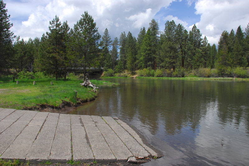
Take out at the ramp on river right just downstream of the South Century Drive Bridge.