| Difficulty | I |
| Length | 17.5 mi |
| Avg Gradient | n/a |
| Gauge | Deschutes River at Benham Falls, or |
| Flow Rate as of 7 hours | 1430 cfsrunnable |
| Reach Info Last Updated | May 23, 2018 |
River Description
This is a mellow float through private land and houses lining the banks including the community of Sunriver. This section ends where the river enters the National Forest and Newberry National Volcanic Monument just above Benham Falls.
For additional information on recreational opportunities see the Deschutes National Forest website.
Logistics:
To reach the put-in, take exit 153 towards Sunriver off Highway 97. Continue 2.3 miles west towards the river on South Century Drive. At this junction you can continue straight on Spring River Road 0.5 miles to an access on upstream river right of the Harper Bridge. Alternatively, turn left at the junction to stay on South Century Drive. In another 3.1 miles turn right at the intersection to stay on South Century Drive and in 2.7 miles you will cross the river at Big River Campground. The boat ramp is on the downstream river right side of the bridge.
To access the take-out upstream of Benham Falls on river right at the Benham Falls East Trailhead, head to the Lava Lands Visitor Center on Highway 97. Coming from Bend turn into the visitor center at mile 149.5 (if coming from the south you will need to take Exit 151 to reach the visitor center). From the vistior center drive 4.0 miles down Forest Road 9702 to the Benham Falls East Trailhead upstream of a footbridge that crosses the river and is well above the falls.
River Features
Big River Campground Put-In
Access PointDistance: 0 mi
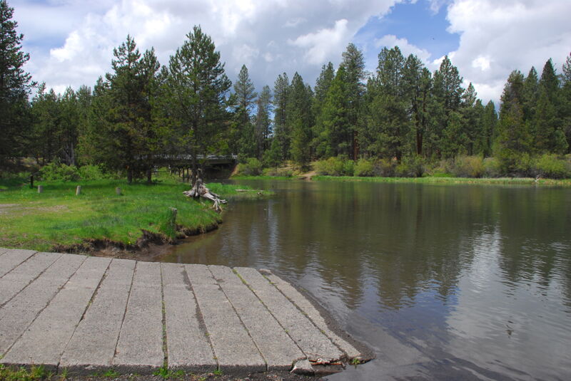
Access on the downstream river right side of the bridge with ramp and parking off the highway. Located at USGS River mile 199.2. The Forest Service Campground is located on the upstream side of the bridge.
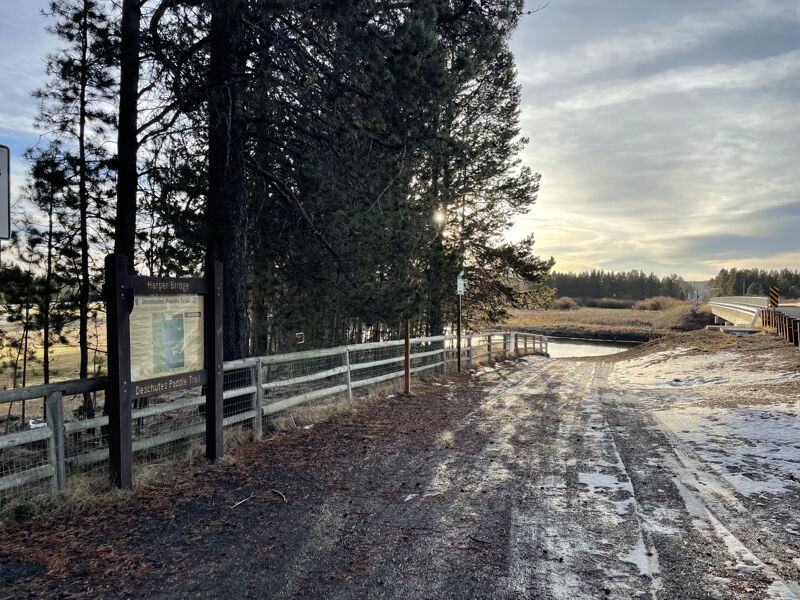
Harper Bridge Access
Access PointDistance: 7.51 mi
Access on the upstream river right side of the bridge with designated parallel parking along the highway. Located at USGS River Mile 191.7.
Besson Boat Launch
Access PointDistance: 10.19 mi
Access on river left administered by Deschutes National Forest at USGS River Mile 189.2.
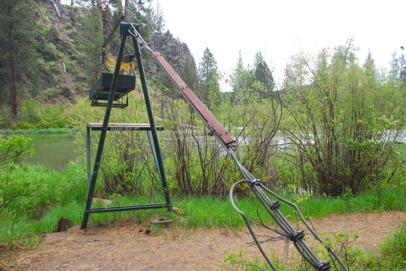
SROA Boat Launch (private)
Access PointDistance: 11.04 mi
This is a private access maintained by Sunriver Owners Association that requires a recreation card to open the electronic gate to access the launch. Located at USGS River Mile 188.2.
Benham Butte Access (aka "Canoe Take-Out")
Access PointDistance: 16.12 mi
The Benham Butte Access, also known locally as 'Canoe Take-out,' is an access point used by river runners and located on river right on Deschutes National Forest lands.
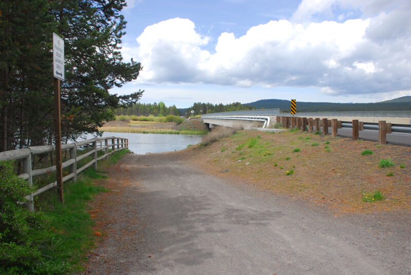
Benham Falls East Take Out
Access PointDistance: 18 mi
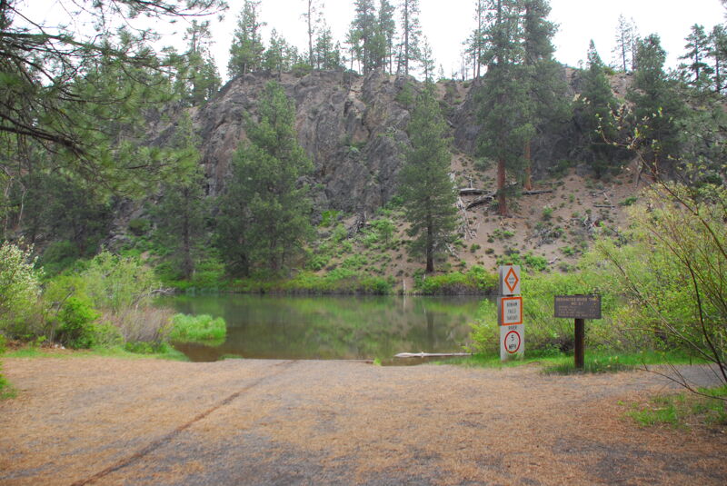
Recreation site and day-use area administered by Deschutes National Forest located immedidately upstream of Benham Falls. Access is on river right with a boat ramp.