Deschutes
04. Benham Falls to Dillon Falls
| Difficulty | IV-V |
| Length | 3 mi |
| Avg Gradient | n/a |
| Gauge | Deschutes River at Benham Falls, or |
| Flow Rate as of 8 hours | 1430 cfsrunnable |
| Reach Info Last Updated | September 26, 2023 |
Benham Falls to Slough Camp, class V, 1.5 miles
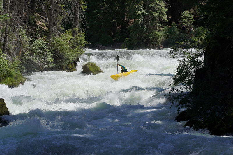
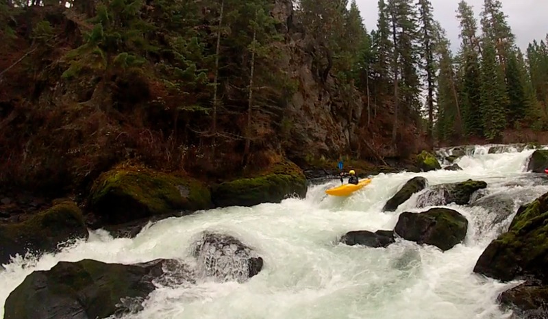
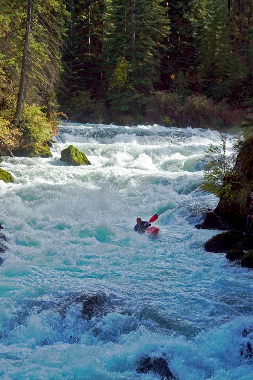
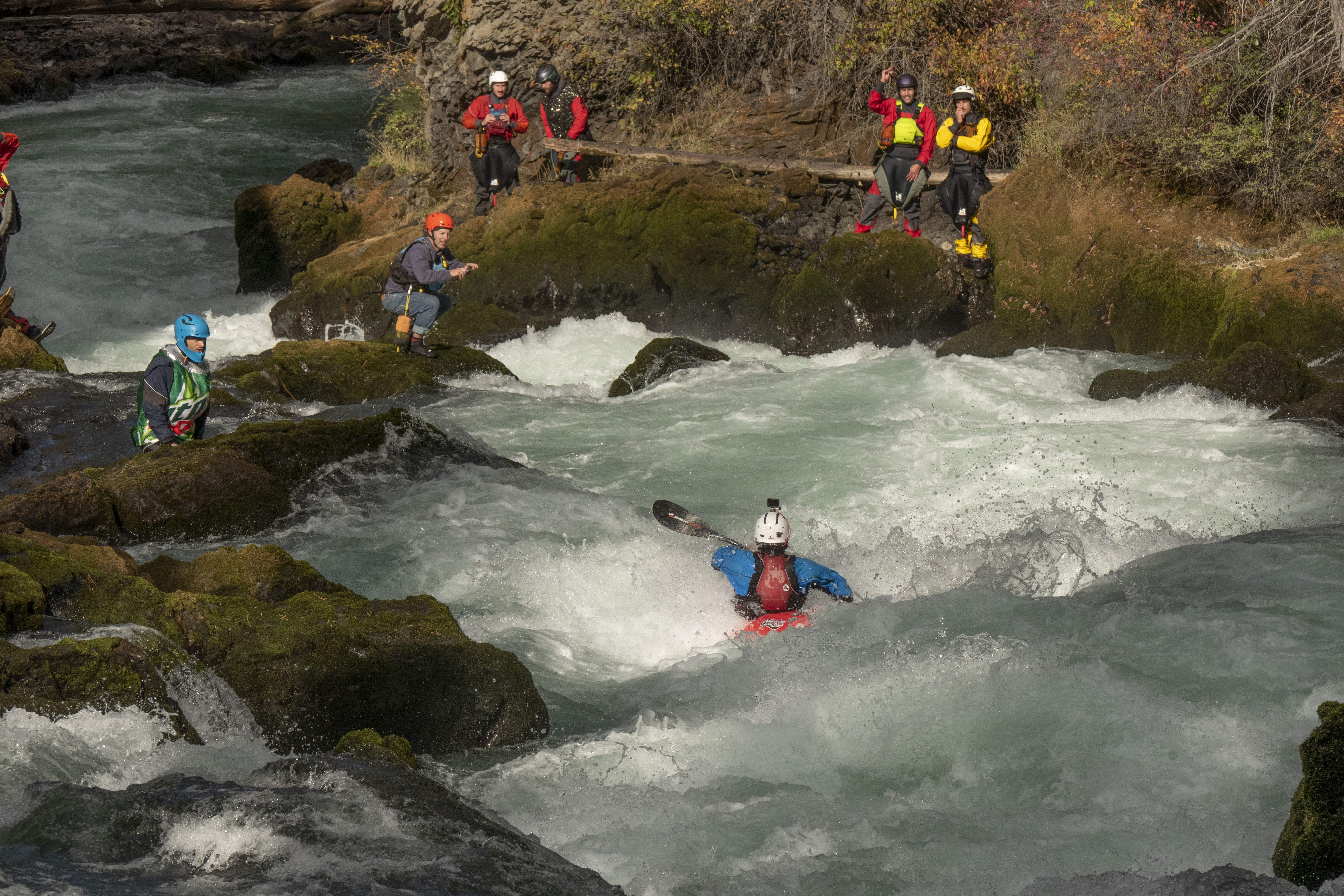
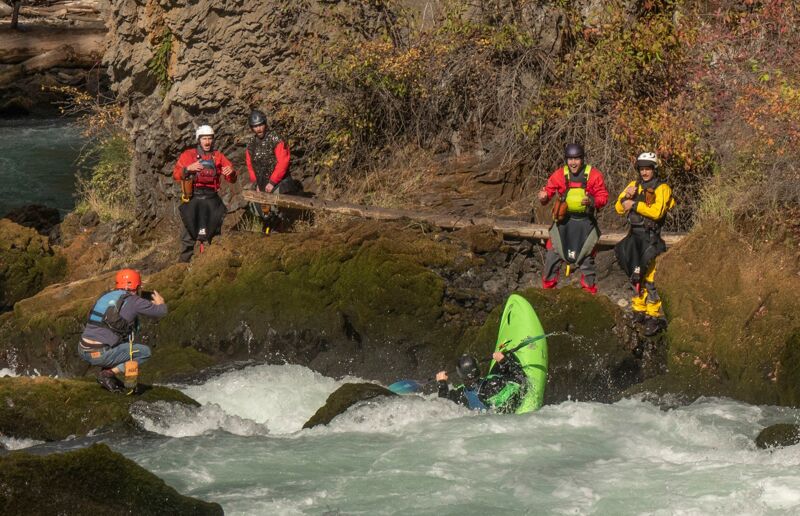
This spectacular section of river formed 7000 years ago when the Lava Butte eruption buried the channel of the Deschutes River in more than 100 feet of lava creating a natural dam. Benham Falls was the outlet from the lake that formed; over time the river cut through the volcanic rock and the lake drained but some impressive whitewater remains.
Benham Falls is a short but steep section of the Deschutes that offers high quality Class IV+ shoulder season boating opportunities (fall/winter). Benham Falls is generally only run when the Deschutes at Benham Falls gag e is below 900-1000 cfs. The most friendly flow is about 600 cfs. The rapid gets more difficult as flows go up and during the summer, when irrigation releases bring the river above 1000 cfs, Benham becomes a challenging Class V section and is rarley run.
The entire section is visible from the trail and careful scouting and setting safety is always a good idea here. The best acsess for boaters is the Benham Falls trailhead on river left located off Century Drive and Rd 41. Paddlers typically hike several laps of the section so there is no shuttle required. Make sure to be respectful of the trail and the area as you gen in and out of the river here.
Scott Baker and Matt King running Benham in a dynamic Duo (high water): https://vimeo.com/53921371
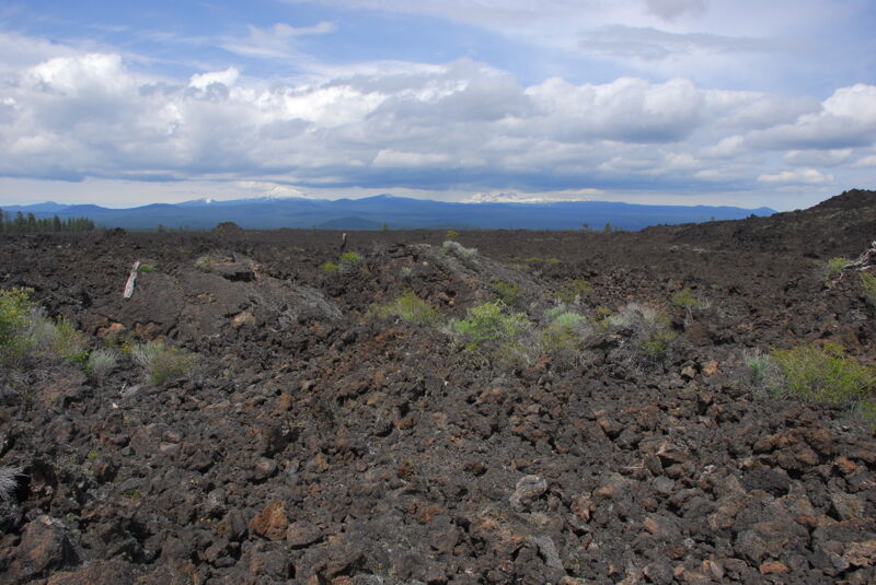
Class III and IV rapids continue for a short distance downstream of Benham Falls as the river flows along the edge of the lava field within Newberry National Volcanic Monument. The river then settles out to class I.
Slough Camp to Dillon Falls, class I, 1.8 miles
The short float from Slough Camp to Dillon Falls is class I.
For additional information on recreational opportunities see the
...
Hike along the Deschutes River Trail to access a put-in above the waterfall.
Signficant waterfall. Located at USGS River Mile 181.
Benham Falls is the most signifigant rapid of this whole section. Typically boaters will acsess Benham Falls from the trailhead on river left. The best put in above the the rapids is a short walk upstream on the trail. After a short class IV warmup section, the river makes an agressive right hand bend into the steepest part of the run. The last short canyon consists of a tight class IV+ rapid with several steep ledges. As the water gets over 1000 cfs, this section becomes class V and is seldom run.

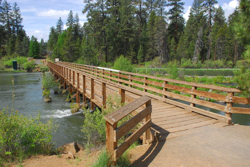
Alternate access at the Slough Day Use Area (aka Slough Camp) that serves as a put-in for a short class I float. The access is a fee site administered by the Deschutes National Forest with a boat ramp, toilet, and picnic tables along the river. It is located on river left at USGS River Mile 179.7.
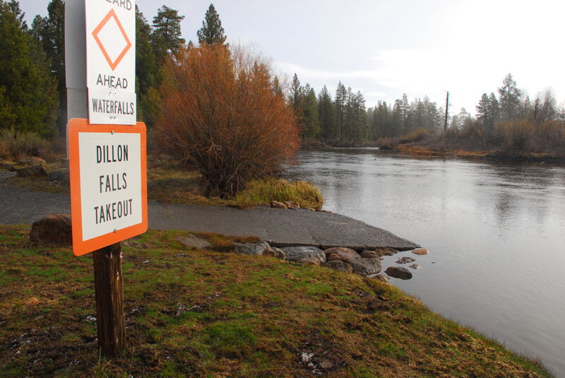
Access and boat ramp on river left just above Dillon Falls. This is a fee site administered by Deschutes National Forest with a toilet and picnic tables.
Jul 18, 2022
High Flow at benham Falls