Yuba, South
5. Edwards Crossing to Purdon Crossing(E to P)
| Difficulty | IV |
| Length | 4.2 mi |
| Avg Gradient | 65 fpm |
| Gauge | Yuba River at Jones Bar |
| Flow Rate as of 22 days | 64 cfsstale data |
| Reach Info Last Updated | April 4, 2026 |
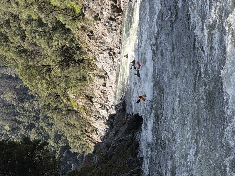
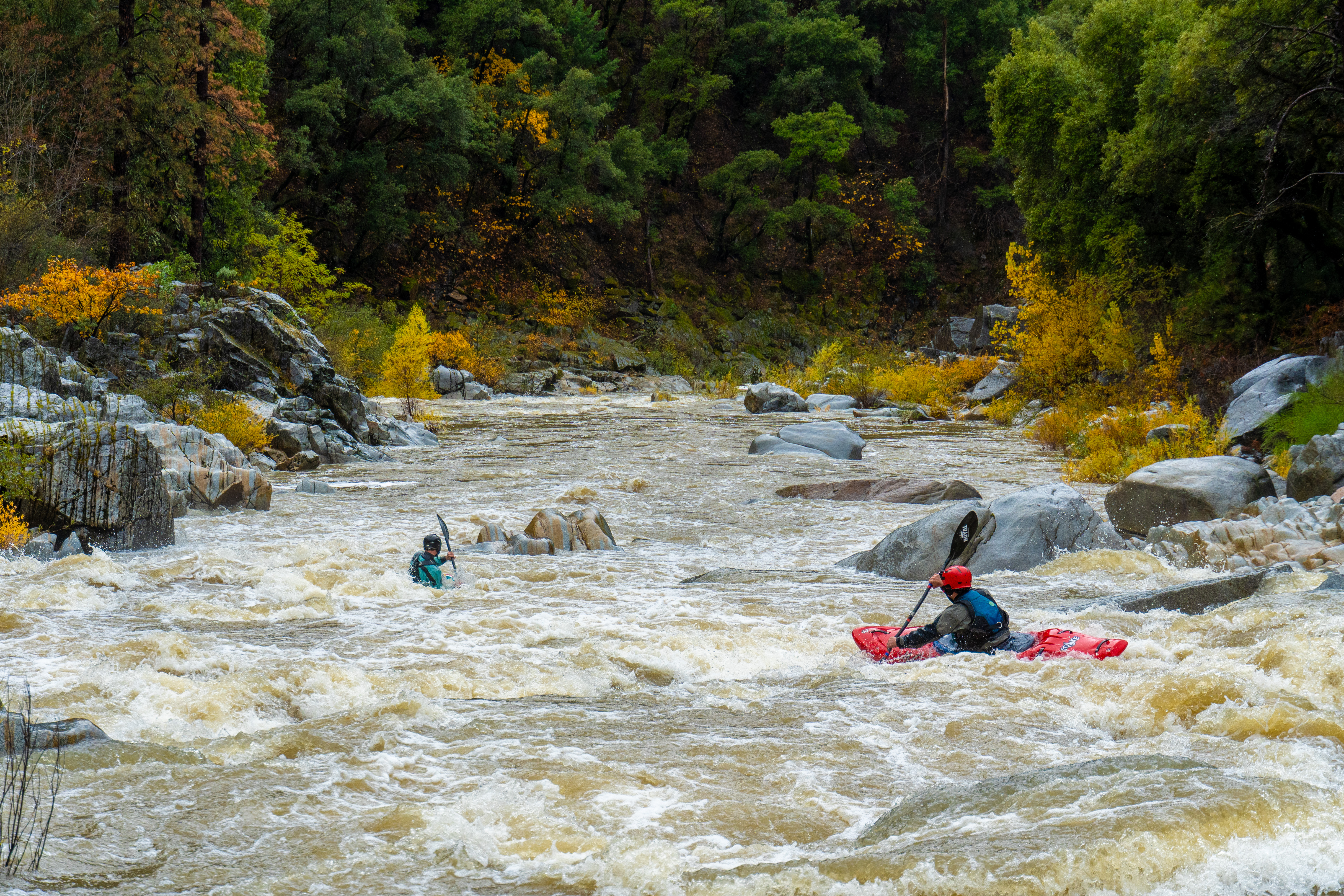
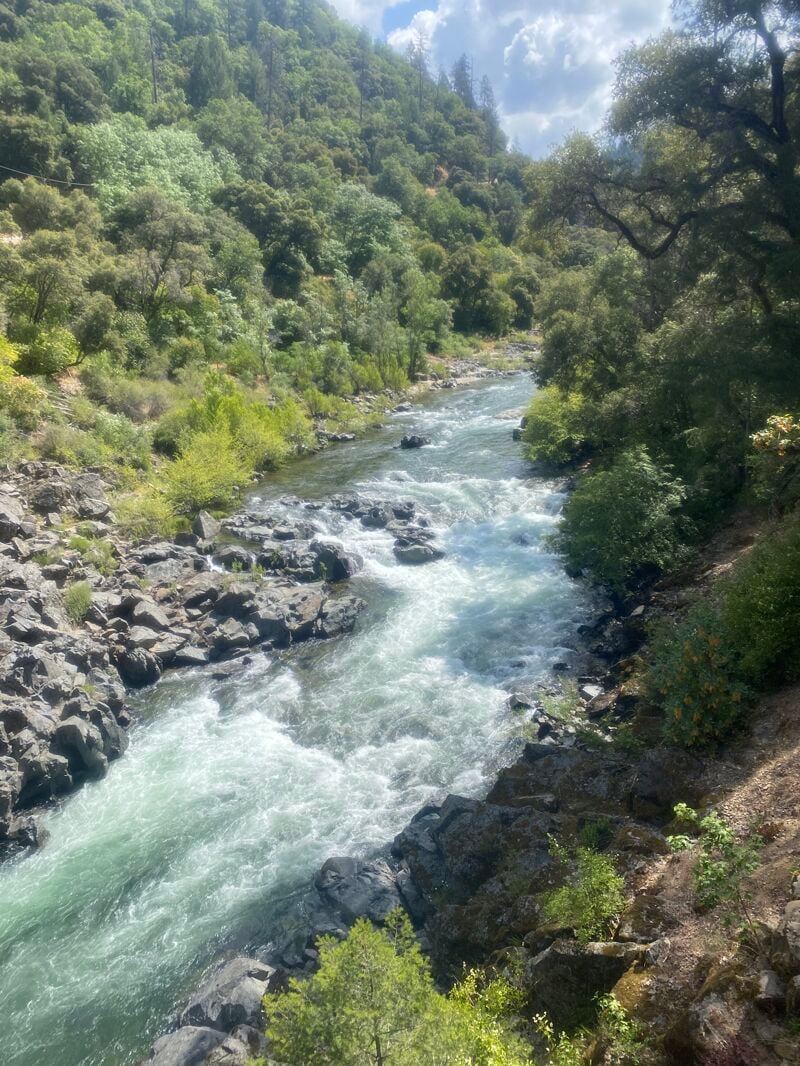
General: Edwards to Purdon is a fun Class IV pool-drop run through a small, roadless river canyon. E2P is about four miles long and usually has water in the winter and spring. The run is probably a little more difficult than Chamberlain Falls and a little easier than Giant Gap (both local Class IV runs on the North Fork American). Edwards Crossing Bridge to Purdon Crossing is along a very pretty stretch of California Wild and Scenic river with some great granite ledges for sun bathing.
Flows: The run is best around 1000 to 1500 cfs (6.5 to 7.5 feet) where, at this flow, there are lots of small waves and holes with good opportunities for boofing.
Minimal flow is +/- 500 cfs where the run gets pretty bony, so, be sure to stay upright.
At higher flows, things start moving faster and some large holes develop.
Most people don't run it above 2500 cfs as the shuttle takes longer than the run and a lot of the fun rapids wash out.
Rapids: There is a pretty good surf wave just downstream from the bridge. Close after that is a short series of rapids with a sneaky hole on river left that sometimes convinces boaters to walk back to the put in (there is a short trail from the put in to the Spring Creek confluence on river right).
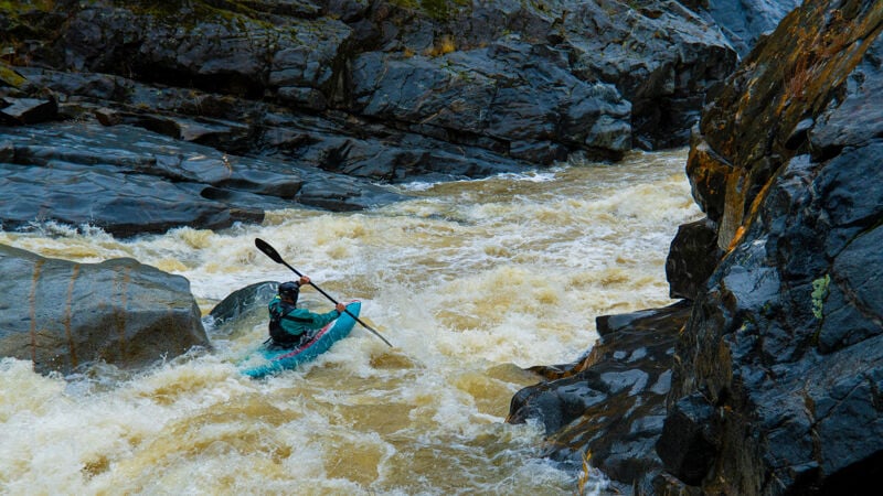
Halfway down the run is a river-wide boulder sieve that may be run on the right.
The 'old broken dam' referred to by Holbek and Stanley washed away in the 1997 flood.
There are stone remnants of the old dam but its nasty rebar it gone and now it is a clean fun rapid.
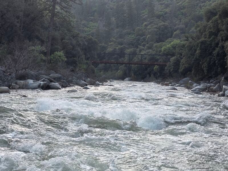
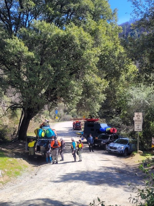
Shuttle: The shuttle is fairly long (45 minute each way) and requires a high clearance vehicle or good skills dodging rocks in the road. It may be done on the south side of the river or on the north side of the river. The north side shuttle is longer, has longer dirt sections, but avoids the worst section of Purdon Road. People sometimes drive to the takeout from the south (
...
From the trailhead on river left you can work your way down on the upstream side of the bridge. Look for the information kiosk and a sign that says 'boater access' at about knee height. From there you can work your way down a good trail to the water and put in just above the rapid visible on the upstream side of the bridge. Scout your line from the bridge. Generally goes best on the right.
Take out on river right directly below the Purdon's Crossing bridge. The 'trail' is steep and may require growing a third arm to carry your boat while you scramble up the rocky embankment.
Jun 22, 2025
We had a great day at just above 500cfs with clear water and warm sun.
While it's absolutely low at this level, we did not find it to be boat abusive or uncomfortably bony. The bedrock character channelizes the flow nicely and even the boulder gardens had plenty of water to navigate the lines cleanly. Someone familiar with the run could abolutely have a fun and clean run at these flows, though another couple hundred CFS would've made some of the boofs cleaner.
A video of the run is available here:
Youtube Video: South Yuba River Edwards to Purdon's