Queets
2. Queets Trailhead to Hartzell Launch
| Difficulty | II |
| Length | 13 mi |
| Avg Gradient | 17 fpm |
| Gauge | Queets River Near Clearwater, Wa |
| Flow Rate as of 24 minutes | 564 cfsbelow recommended |
| Reach Info Last Updated | May 20, 2025 |
American Whitewater is proud to be a leading partner in the Wild Olympics Campaign, a collaborative effort to protect the wild rivers, ancient forests, and salmon habitat of Washington’s Olympic Peninsula. Working alongside conservation and recreation organizations, American Whitewater helped launch this campaign with the leadership of our local [...]Read More
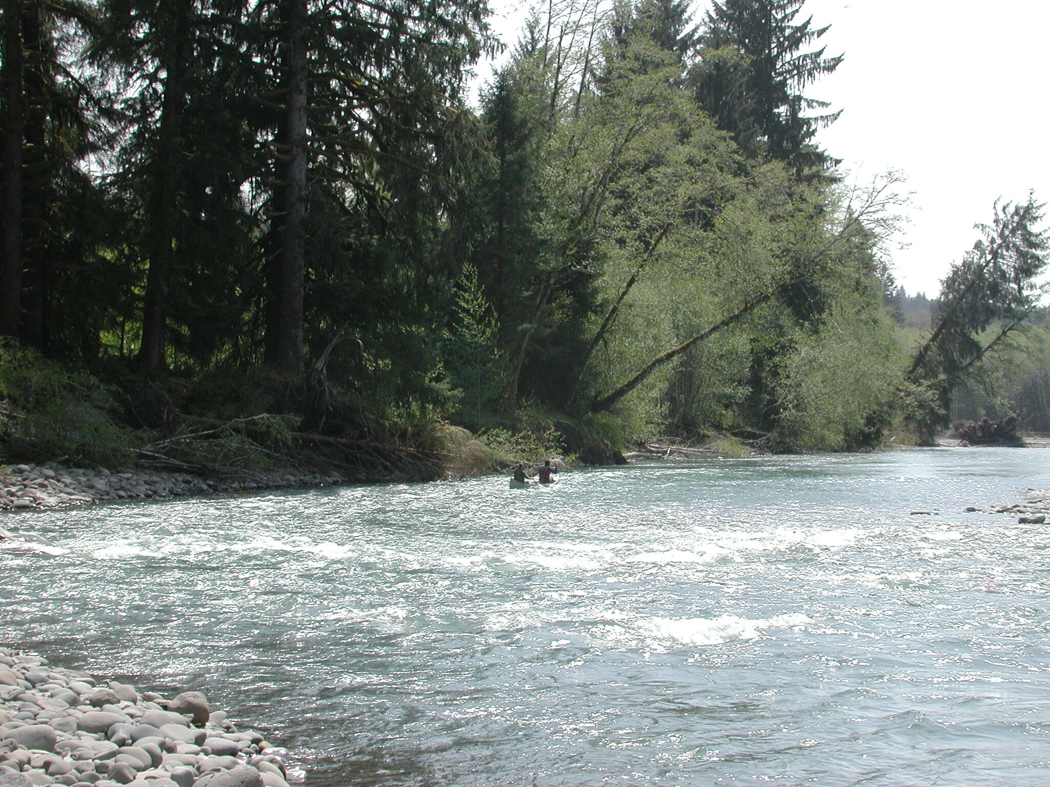
The Queets is known more as a fishing river than a whitewater run. The real whitewater action is in the tributaries with the Clearwater, Matheny, Sam's, and Tsheltshy all providing excellent whitewater opportunities.
Starting at the trailhead put-in you'll be treated to Sam's Rapid which is the most notable rapid on the run. Experienced river runners should be able to negotiate it without issue but you could easily wrap a canoe here.
While the rest of the run is not that challenging for experienced paddlers, you'll find a few fun sections of class II- boulder gardens and chutes along with some immense log jams that can create signficant hazards requiring more advanced skills to navigate safely. If you do run this river use caution and remember that this is a big river with plenty of power and a high occurence of strainers. True to its rainforest setting, the Queets has an annual discharge 1/4 of the Colorado River yet drains 1/250 of the land area. It's a unique river with all of the headwater sections and most of the main stem protected within Olympic National Park (the lower Clearwater and Matheny tributaries are notable exceptions to this protected status as their watersheds were hammered during the last big logging operations in the 1980's.) The Queets is one of a very small handful of large floodplain rivers in the country that's allowed to meander freely across the valley floor. Old growth forests, young alder stands, and stately cottonwood create an incredibly beautiful mosaic of vegetation.
Access:
TAKEOUT: To reach the takeout, turn onto the Queets River Road which leaves Highway 101 at mile 144.6. At Queets River Road mile 1.9 you'll find the Hartzell boat launch.
PUT-IN: The Queets River Road is washed out near Matheny Creek so to reach the put-in you need to go back out to Highway 101 and travel south to mile 137.5 where you take FR 21 east (this is also marked as West Boundary Road). Follow FR 21 to mile 8.2 and turn lef
...The Queets Trailhead is rustic and lightly used, featuring a small parking area, trail signage, and no reliable amenities. To reach this access turn off Highway 101 at mile 137.5 where you take FR 21 east (this is also marked as West Boundary Road). Follow FR 21 to mile 8.2 and turn left onto FR 2180 and follow the signs where this road forks to the left at FR 2180-100 (aka Q2100). This road heads down to the Queets River corridor. Head upstream to the end of the road at the trailhead right at the Sams River confluence (road mile 13.7). The campground is located 0.2 mile downstream. If you don't want to do the long shuttle around on Highway 101 you can go downstream on the upper segment of the Queets River Road and use the access at the Streator Crossing access which is at road mile 5.5.
A rapid that begins just downstream of the put-in and adjacent to the Queets Campground.
Intermediate access point. The Queets River Road does not continue downstream from this point.
Relatively easy rapid where some larger rocks create a riffle and some features near the confluence with Tacoma Creek.
To reach the takeout, turn onto the Queets River Road which leaves Highway 101 at mile 144.6. At Queets River Road mile 1.9 you'll find the Hartzell Creek access.
