Big Quilcene
1 - bl. Tunnel Creek to Rainbow Campground (Upper)

| Difficulty | V+ |
| Length | 2.2 mi |
| Avg Gradient | 165 fpm |
| Gauge | Big Quilcene River Below Diversion Nr Quilcene, Wa |
| Flow Rate as of 20 minutes | 0.97 ftbelow recommended |
| Reach Info Last Updated | January 3, 2023 |
American Whitewater is proud to be a leading partner in the Wild Olympics Campaign, a collaborative effort to protect the wild rivers, ancient forests, and salmon habitat of Washington’s Olympic Peninsula. Working alongside conservation and recreation organizations, American Whitewater helped launch this campaign with the leadership of our local [...]Read More
SEASON: November to June dependent on water withdrawal for Port
Townsend (diversion dam at Tunnel Creek). Best after heavy rain or a
good snowmelt.
LOGISTICS: Although the upper section ends at the large bend near
Rainbow Campground, paddlers continue on through the lower run and
take out river right at the pull-out at Highway 101 mile 296.9. To reach the
put-in head north from the take-out on Highway 101 about half a mile and
turn west on to FR 3039 (Penny Creek Rd.). Take this 1.4 miles and then
turn left on to FR 3057. In 1.8 miles head left again on to Spur Road 40.
Follow this road 2.3 miles to a spot where you can find river access.
Check road reports under Recereation, Current Conditions, Hood Canal
North, on the USFS Olympic
National Forest web site
DESCRIPTION:
The run starts out with a short class II warm-up, but once you drop
over the first 16 foot, double-ledge falls--Casserly's Cascade--you are
committed to the gorge. This drop was named in memory of Justin
Casserly who made the first descent in the late 90's (Justin drowned
while paddling in Mexico). Logs can make sections of the gorge
unrunnable so get the latest beta or scout carefully. The run consists of
several class IV and V drops in a vertical-walled canyon. As you paddle
past the trail access from Rainbow Campground the run continues on the
Lower Big
Quilcene. Pictures and a trip report can be found in Dan Halsey's
account published in the Jan/Feb 1999 issue of American
Whitewater.
lat/long very approximate by tiger map
server
for additional information see:
Aug 21, 2014
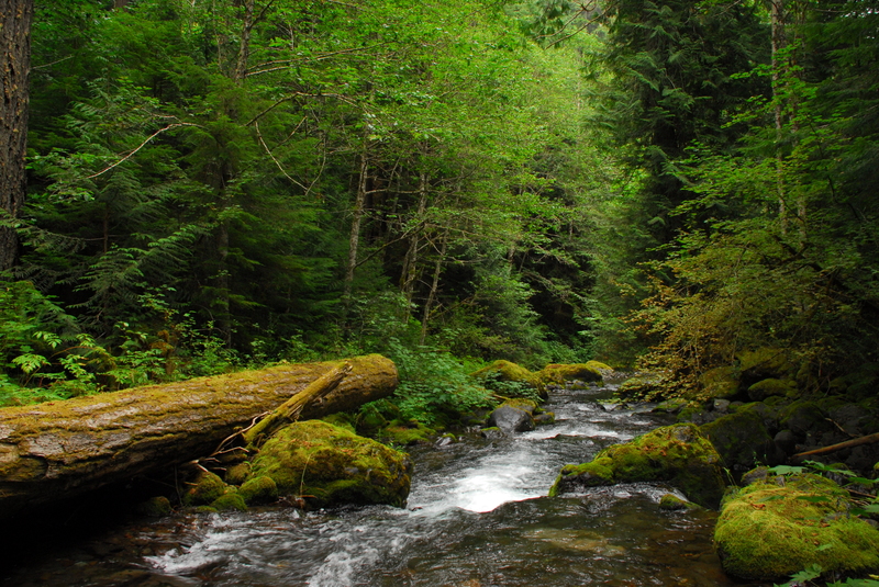
Photos of the upper river at summer low flow conditions.
Jul 5, 2002
Information provided by Ryan Allen:
I ran the Big Q again this summer (2001) and found that it was fairly clean of logs, definitly less wood than when I was in there a couple of winters ago. We only portaged one drop which was one of the last rapids in the gorge it had about a 10-15 foot steep slide on river left. The runout of the drop has a log about two feet over the water that you maybe able to roll under but it looks boney. The portage is easy over some rocks and wood in the middle of the river and you can put in and run a slot that puts you right below the wood.