Yellow
2. US 78 to Hwy 124
| Difficulty | I-III |
| Length | 7.4 mi |
| Avg Gradient | n/a |
| Gauge | Yellow River at Ga 124, Near Lithonia, Ga |
| Flow Rate as of 4 hours | 266 cfsrunnable |
| Reach Info Last Updated | March 26, 2009 |
This section of Yellow River, in particular from US 78 to the Yellow River Park, offers its most challenging white water. As noted in the posts below, the quality of the water has improved greatly. Save for the last three miles, this section of the Yellow passes entirely through private property. When scouting it is best to do so either from rocks that are squarely within the banks of the river or from the boat. When approaching Annistown Falls, do not scout and/or portage on river left.
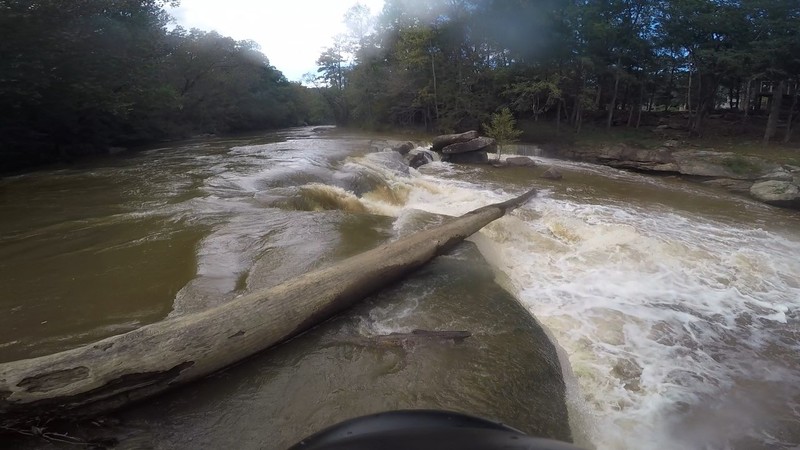
From the US 78 bridge the river is flat water until you reach site of the old highway bridge crossing (mile 0.6). As you pass the brick supports for the bridge, the river banks to the southeast. There is the first small ledge, creating a small wave that can be surfed. For the next mile the river alternatives between a series of ledge drops and flat waterÂone of the drops is three feet. Before reaching the island, there are the Ledges (mile 1.8)--two significant drops form the entrance into Island Rapid (mile 1.9). Both of these ledges will produce substantial holes at high water.
Below the island the current stills again for more than a mile, as the river approaches the entrance to Annistown Falls (mile 3.4). From the Falls the river widens and works through a rock garden and over small ledges. At lower levels this section is technical, at medium to high, it presents more substantial challenges. After the last ledge, there is a take-out--park of the Yellow River Park. Beyond this ledge, the Yellow returns to a placid flat water stream to the Hwy. 124 Bridge.
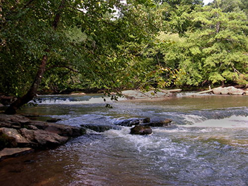
Set of two ledges before the island. At higher water, work to the right in dropping the second ledge.
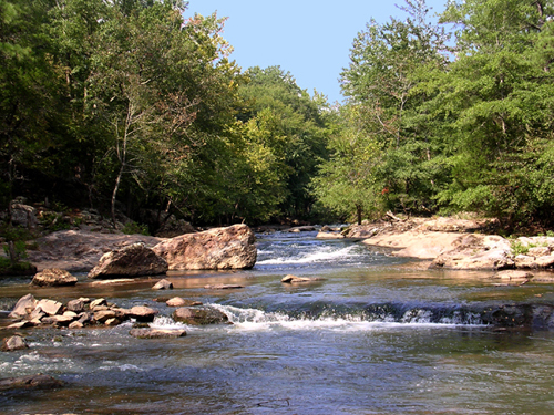
After negotiating two substantial ledges, the river is then divided by an island. The left channel is a series of three drops that require quick maneuvering. The right channel, according to Susan Welander, p. 263, gives the better ride Âas you accelerate through it to the left.Â
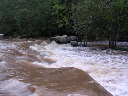
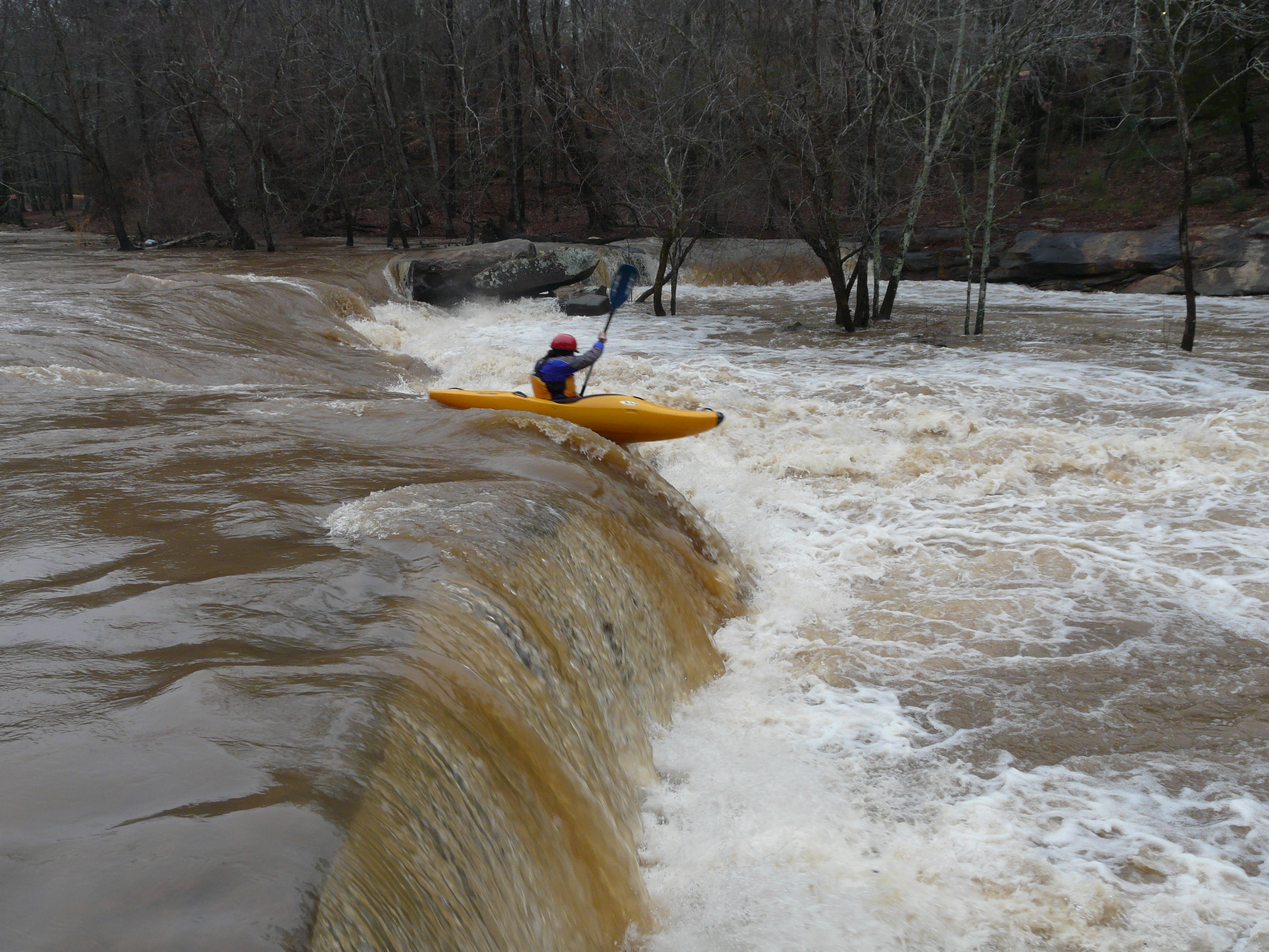
You will know you are approaching the falls when you see Annistown Road Bridge over the river. Most of the flow moves towards the right side of the river and then curves to the left as it spills over the five foot drop that is Annistown Falls. The best place to scout is from a big rock in the center of the river. Stopping on far river right is another location for scouting his drop, although there is some current there. You can portage from both of these locations. Take care exiting your boat, as the rocks are very slippery.
The two main lines for running the rapid are: running the main drop through the seam; or, boofing off the river right ledge. When scouting the falls, take notice of the following: Look for obstructions in the main flow of current, or below the ledge. There has been wood stuck in the falls in the past. If there is wood stuck in the drop, a portage should be mandatory. For running the main drop, check for visual cues upstream and downstream to line up for the main drop. You will not be able to figure out where you are until the last second, leaving very little time to make corrections. Notice the rocks to the right, left and bottom of the drop. Run the drop just slightly to the right of the main flow at the top to drop into the wave train below.
A word of caution: At high water, the center rock (for scouting) is covered and the river right eddy is gone.
Below the drop, there are eddies on river right and river left. After the drop, work your way to far river left as you go under the bridge. Be sure to be all the way river left as you go over the next drop, a 2 foot sluice, as you exit from under the bridge.
Work immediately to the left again to go over the last drop, Annistown wave/hole. This is a three foot drop that is almost river wide and pretty sticky at normal levels. Stay away from running this drop on river right due to a large rock immediately downstream.
---Description of 'Annistown Falls' by Scott Houser
Mar 28, 2013
Someone has been making it impossible to park at Annistown Bridge, by blocking the gravel access to the parking area. There is also no good way to park along the highway in order to carry boats up on the trail from below the bridge.
I recommend continuing downstream to take out at Yellow River Park. Technically, there is 'no parking' along the road where the last rapids end, but if you're able to do a fast load, or to carry boats to the parking lot, you're OK. Otherwise you can go down the flatwater and take out at or below a park viewing platform on the right bank. From there, I think it's about a quarter mile carry to the parking lot.
May 7, 2009
I've been paddling the Yellow over the winter and it has been a blast. As a beginner the various water levels have presented challenges and learning that has helped me develop my skills. But I haven't met up with any other boaters until today. But it was through the mail as I had dropped my Drivers License upon returning to the Anniston Bridge to retrieve my truck. Some great soul found it and returned it to me. I'd like to thank-you and wanted you to know that it was for a fellow kayaker. Always looking for pointers... thanks again
Ken Stallings kemsan42@yahoo.com