Coneross Creek
SC 59 to Coneross Hydro Plant Park
| Difficulty | II-III(IV) |
| Length | 0.4 mi |
| Avg Gradient | n/a |
| Gauge | Eighteenmile Creek Above Pendleton, Sc |
| Flow Rate as of 7592 days | 35 cfsstale data |
| Reach Info Last Updated | February 27, 2004 |
Like many other semi-urban rivers this short run can have poor water quality at times.
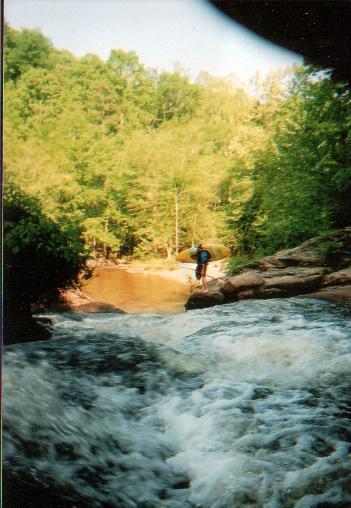
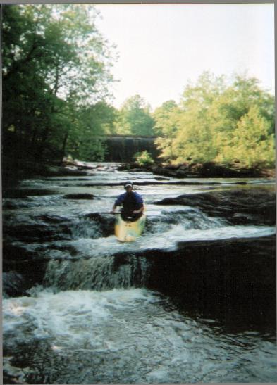
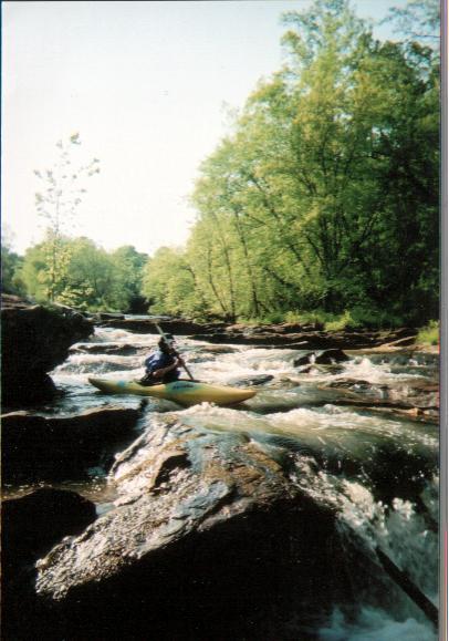
Coneross Hydropark is essentially a small series of slanted waterfalls and ledges. The run is entirely a Âdestination boating experience. Boaters must put in at the base of the dam or slightly downstream of the dam depending on the water level and if the dam is releasing water or spilling over. The rapids are river wide and multiple lines are possible. Most drops are easy class III but the final drop on river right is more difficult. This narrow slot drop can pin boaters. The takeout is downstream below the hydroplant. Boaters do not need to run shuttle and it is fairly simple to walk up the concrete flume to the top of the run.
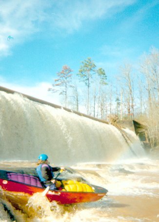
Dam Drop is the put-in ledge below the dam and hydroplant flume.
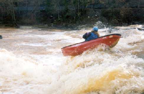
The first ledge on river left is a good boof location.
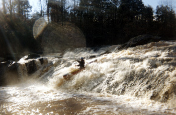
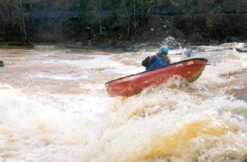
This is the largest siding drop on the river. A large hole can develop at high water.
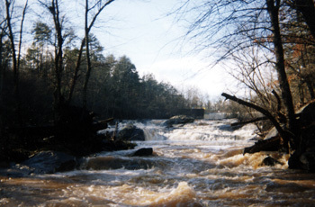
This photograph is an upstream photo of Coneross from an eddy near the bottom of the rapids.
Feb 1, 2008
ran this section at 260cfs.....Lots of lines,but some were very scetch! Put in on river right just below the dam. I would stick to running river left to left center the whole way. DO NOT run right of the of the last slide... very dangerous slot with huge hole. Big hole developes at the center of the bottom slide at high water. Scout well and pick a safe line or things could get bad, at least at high water.
O yeah, and the water is pretty nasty.