Cispus
1 - Goat Creek to FR 2160 (Super Slides)
| Difficulty | V |
| Length | 2.6 mi |
| Avg Gradient | 165 fpm |
| Gauge | Cispus River Ab Yellowjacket Creek Near Randle, Wa |
| Flow Rate as of 1 hour | 389 cfsbelow recommended |
| Reach Info Last Updated | July 8, 2019 |
Washington’s legendary volcanoes – Mount Rainier, Mount St. Helens, and Mount Adams – are the source of wild, free-flowing rivers and streams that cascade over big drops and through deep basalt canyons on their way to the Columbia River. Rivers like the Clear Fork of the Cowlitz, Cispus, Green, [...]Read More
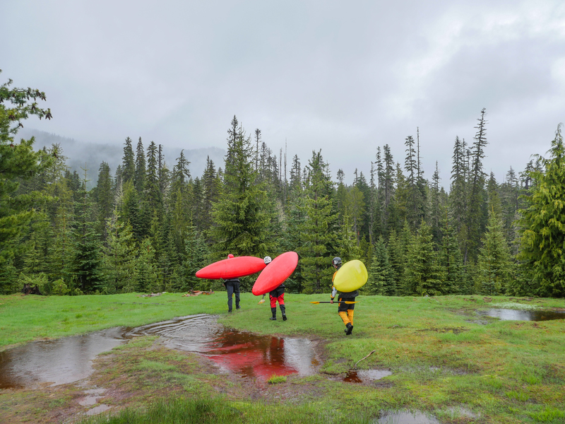
SEASON: Late Spring rain on snow events can produce good levels. Early season runs typically encounter snow requiring a 1-2 mile hike to the put-in. Snow on the banks can also make the portages and scouting a challenge.
LOGISTICS: Take-out: Starting from the town of Randle (Highway 12 mile 115), take Cispus Road south across the Cowltiz River and continue for one mile to the fork of FR 25 and FR 23. Take the left fork and follow FR 23. Continue on FR 23 to mile 18.6 where you turn left onto FR 21. Stay on FR 21 for 12.7 miles and turn right onto FR 2160 which heads down and reaches the river in 1.3 miles. Although Bennett describes a take-out at the FR 2160 bridge those who have used it decribe the last two miles of the run as the 'portage from hell' where the river basically runs through the forest with numerous log jams and dense understory vegetation. A better alternative which has since been discovered is to continue 1.7 miles past the bridge towards Walupt Lake to the Coleman Weedpatch Trail 121 parking area (you'll need a Northwest Forest Pass). The trail to the river is directly across the road from the trailhead parking area. It is probably a little less than a mile to the river. Finding the take-out trail from the river can be a bit tricky. It's about 500 yards downstream from Walupt Creek Falls on river left. You'll pass a couple steep talus slopes and bedrock walls. Take-out where the steep walls end and the forest meets the river floodplain (the river gradient levels out considerably here). Exit the river and walk along the toe of a talus slope for 50 yards and then bear to the right. You should cross the trail within another 50 yards. The trail starts out easy on a level grade (if you're trying to scramble up steep slopes you're in the wrong place) and then you'll make your way up the hill to the road through a series of switchbacks.
Put-in: To find the put-in head back towards FR 21, but just before you reach it turn right on to 2152 (th
...Jun 7, 2007
While visiting WA from the East Coast (Eastern TN), we did our hike and shuttle exclusively on river right and it seemed like a relatively low hassle way handle the logistics for this run. It may or may not be faster and easier than the approach listed above - I'm merely posting to provide you readers with another option. We found this option somewhat accidentally - we misinterpreted the instructions from a friend who was actually trying to route us to the river left trail. All of the roads described below are shown in DeLorme's Gazetteer (at least the edition we were using).
To the take out: From Forest Road (FR) 12, head east on FR 2160 towards (but not all of the way to) the Cispus River. Take a left onto FR 2152, which should be your first left. FR 2152 meets FR 016 and 017 at a four way intersection. Take a right on FR 017 and head east down towards the river. The Klickitat Trail (Trail 7) intersects 017 at the dead end - it heads down to the river from the SE part of the informal parking area found there. If it's your first time using this trail, I'd recommend hiking down to the river and placing some sort of flag so you can find it when you reach the end of your run. If you're feeling a bit more adventurous, a description on finding the trail from the river is provided below.
To the put-in: We did a fairly short bushwhack down the slope and put in about 200 yards above the confluence of Goat Creek and the Cispus, which prevented us from having to deal with the painful amounts of log jams reported to be upstream and from having to portage the marginally runnable waterfalls on Goat Cr. From the take out, back track on FR 017 to the 4 way intersection and turn right on FR 016. If you're at all concerned about the paint job on your rig, this road will make you cringe - lots of thick, low growing brush could tear it to shreds. As FR 016 begins to enter the clearing shown in 'Put-in' photo linked to this page, you'll see a 4WD track of to the right. We drove this tack about 100 yards then parked the car. We then hiked down this road and began bearing slightly to the right (downstream). Eventually, you should hit Goat Creek just above the confluence. Since there was a lot of wood everywhere, we ferried to river left which looked to be easier terrain to deal with ... there's also some impressive old growth on this side of the creek!
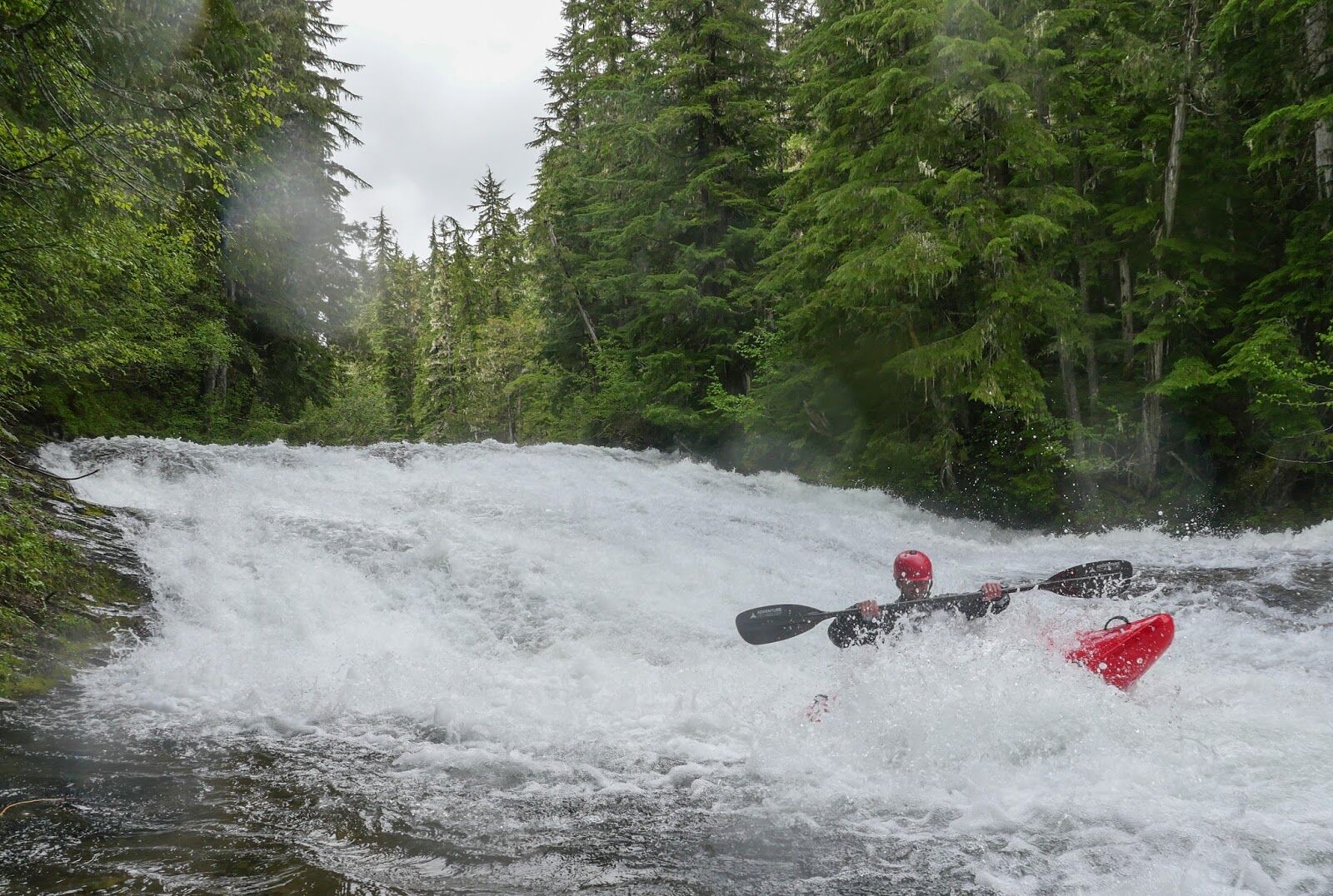
Finding the take-out trail from the river. Pass Walupt Falls. After some Class III, you can sense that the valley is opening up very substantially. When we did the run, there was a logjam here that could be snuck on the far left side of the right channel. The trail is just beyond this log jam on the right.