Tye
1. Surprise Creek to Alpine Falls(Top Tye)
| Difficulty | V |
| Length | 3.2 mi |
| Avg Gradient | 210 fpm |
| Gauge | South Fork Skykomish River at Skykomish, Wa |
| Flow Rate as of 22 minutes | 380 cfsbelow recommended |
| Reach Info Last Updated | May 25, 2025 |
The Top Tye remained relatively unknown despite its easy access from a major state highway and proximity to the greater Seattle area. Guidebooks didn’t mention it until 1998. Through the late '90s, however, this river gained a reputation as one of the premier steep creeks in the region, and paddlers have continued to discover it each season. Thanks to the Twitch video series and local paddlesports photographer Jock Bradley, nearly every paddler in the country has seen images of this incredibly scenic creek. Paddlers often find good flows late into the spring boating season, when sunny skies and warm temperatures light up the forested bedrock canyons. The forest doesn’t qualify as true old-growth, but logging hasn't touched it in decades, and Highway 2, though nearby, barely registers when you’re on the water. This run offers solid Class V creek boating, with most drops allowing easy scouting and portaging at moderate flows.
From the Highway 2 bridge, the river begins with shallow Class II rapids and parallels FR 67. A significant drop near the end of this warm-up, known as Slide Falls, gives paddlers the option to put in just below it. A few paddle strokes downstream, the river leaves sight of FR 67 and plunges over a ledge into a canyon. Double Drop Falls marks the start of this gorge and can be easily scouted from river right. A solid line runs down the left, but you’ll need to recover quickly to catch the eddy below on river left—just above the next horizon line, the Spout.
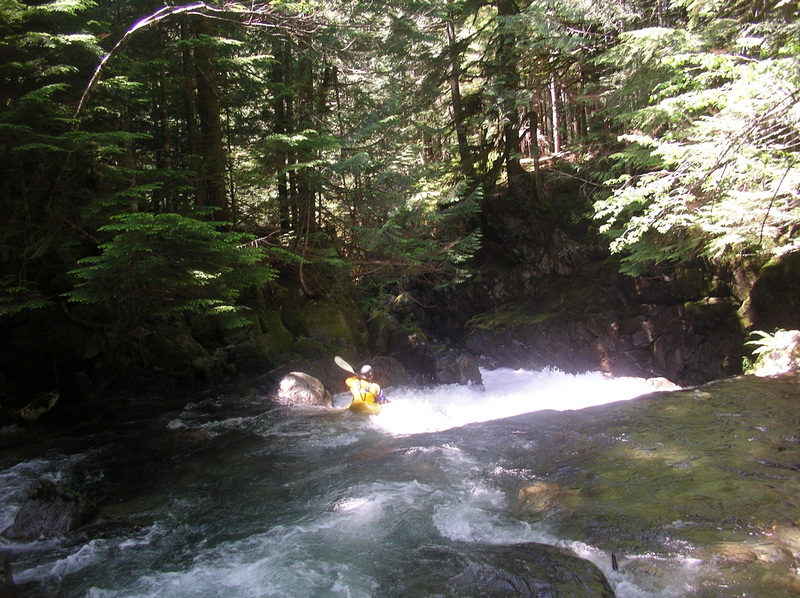
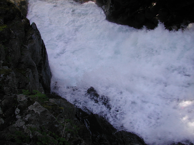
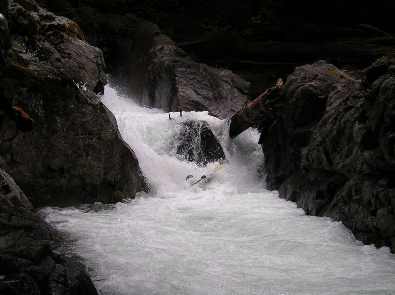
Running Double Drop commits paddlers to the gorge and places them in an eddy above the first of two significant waterfalls. These two drops appear in the opening of the Tye River sequence in Twitch 2000. The first, known as The Spout, drops about 15 feet into a right wall. Use the generous bedrock platform on river left to scout or bypass the drop with a seal launch into the foamy pool. The standard line starts on the right and works back to a flake on the left, which l
...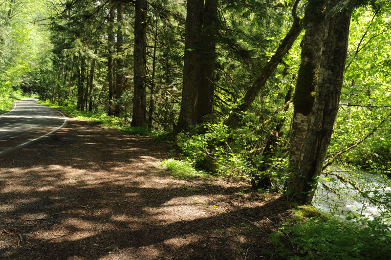
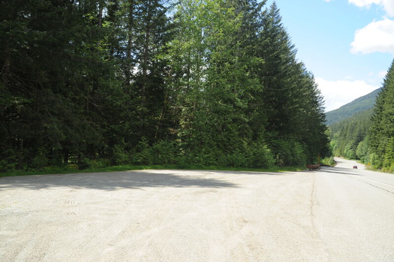
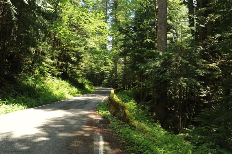
Access the river at a pull-out of your choosing on river right along Forest Road 67 near road mile 2.5. Note that land along the start of the run includes private Forest Service inholdings so be sure to not block any driveways.
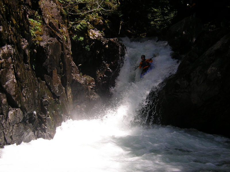
The first big rapid, known as The Spout, drops about 15 feet into a right wall. Use the generous bedrock platform on river left to scout or bypass the drop with a seal launch into the foamy pool. The standard line starts on the right and works back to a flake on the left, which launches you clear of the hole at the base and avoids the protruding bedrock on river right. After only a few paddle strokes, you should aim to catch an eddy on river left to set up for the next drop.
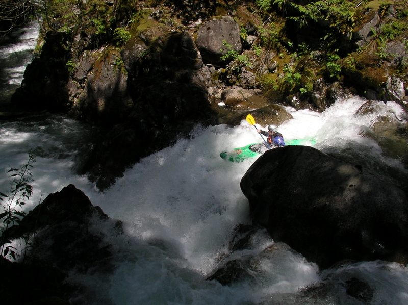
The standard line runs far right, avoiding rocks at the base of the falls toward the center and left. The drop offers a smooth ride if you set it up correctly. A challenging portage exists on river left, but it requires climbing moves and tricky reentry below.
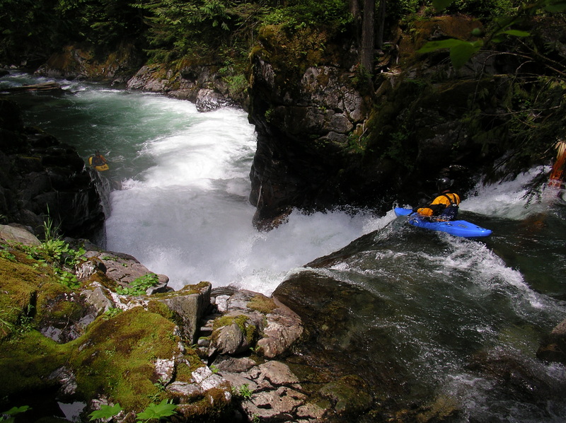
The confluence with Deception Creek that enters from the left marks the start of the Park Section. A tourist viewing platform signals the rim of Monkey Cage Falls, a sloping 20-foot drop. As you run this drop, expect cheers and hollers from the tourists above—hence the name. The center or right side typically offers the best line. Avoid the left, where hidden rocks have caused injuries. An easy portage on the left remains available.
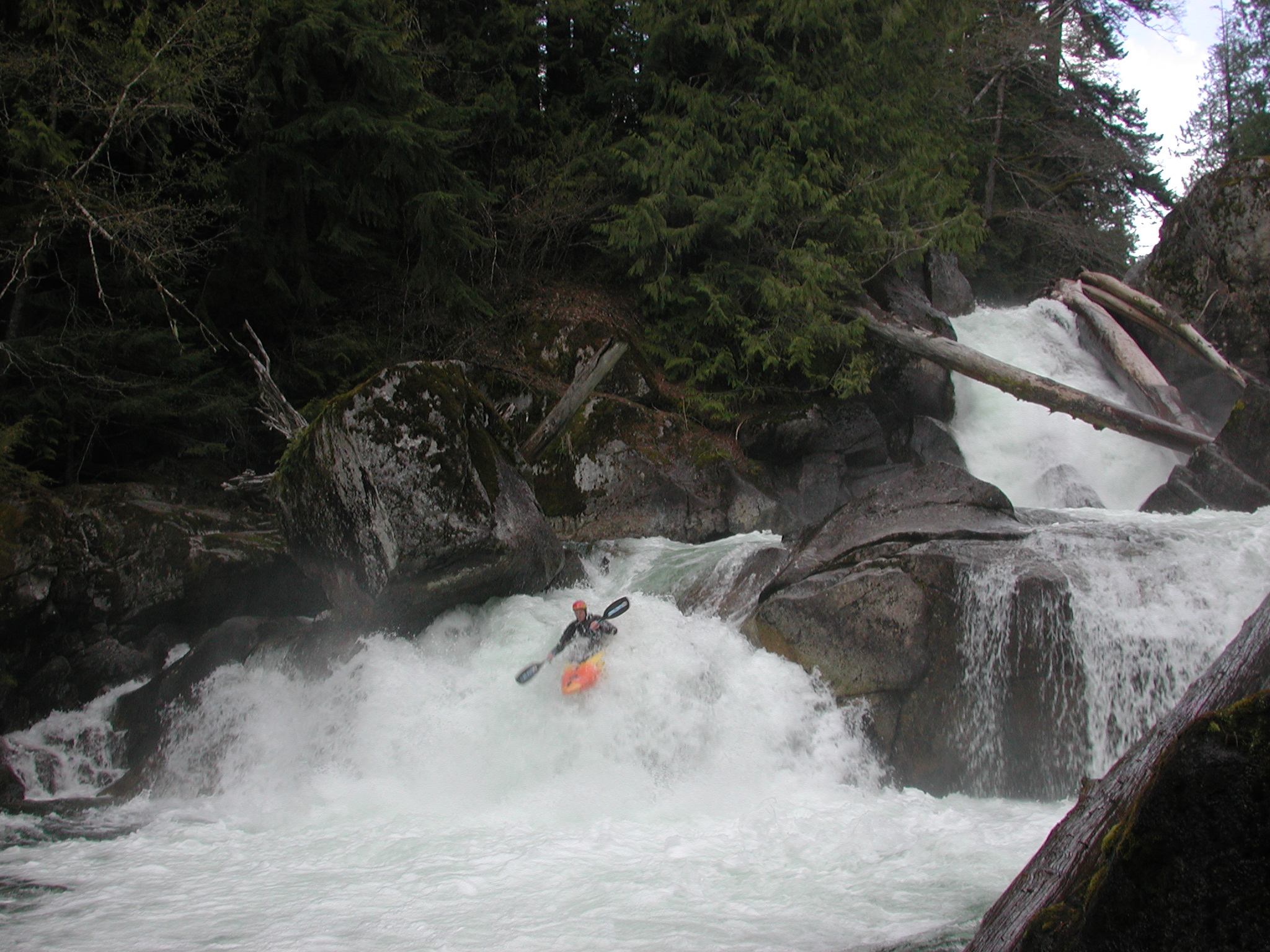
A short entrance flume leads to a 10-foot ledge that sends the river into a headwall just a few feet downstream. The current then makes a hard 90-degree right turn. The ideal line sails off the right side of the ledge with a right sweep stroke, landing the boof facing downstream. Aim for the preferred right-hand slot past the boulder at the bottom. The current often pushes paddlers toward the left slot, where a deceptively nasty hydraulic lurks. Swims happen often here, so set strong safety. You can also take the far right sneak, which slides you over wet rocks and past the hole. Just 50 yards downstream, the river drops over another ledge with a problematic hydraulic—also worth a safety setup.
It has been run but for all practical purposes this is a portage on the right.

Great rapid with a fun boof that begins right from the base of Log Choke Falls.
Alternate put-in access for a short run starting from the based of Log Choke Falls. The access is located at FR 67 mile 1.3 where a trail leads down near concrete barriers. Parking is limited here.
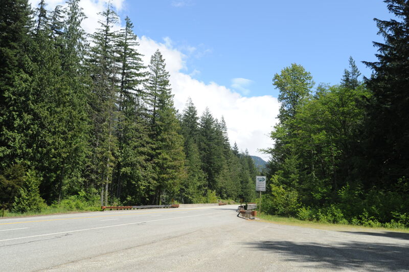
The take-out is at Highway 2 mile 55.3 at a large pullout on the downstream river left side of the bridge across the Tye River. Scout the takeout carefully (takeout at the bridge!) as you don't want to unknowingly drift into the lead in for Alpine Falls. The river left trail provides the best access up to the road. From this pull out you can hike a short trail to Alpine Falls.
Alpine Falls presents a challenging descent for kayakers, and has only been run by a handful of people due to the high risk factor. The line starts on the left side, necessitating a difficult ferry to reach river left, followed by a precise boof to avoid pitoning before the 40-foot slide. Failure to execute the initial drop correctly would force a paddler towards the extremely dangerous right side.
Jul 4, 2003
A look at the Park Section from the day-use area.
Apr 27, 2003
Levels were great for a trip on the Top Tye so Pete Westman, Boris, Mike Rausch, Eric, Mark Corsentino, and I got together for a trip of the full run. The stretch down to Monkey Cage Falls was fun but required a couple of really tricky portages. They were doable but one required a leap onto floating logs. We all portaged Monkey Cage Falls but then lined up to take our turns at Crack in the Earth. Mike managed to make it through, but the rest of us all got pushed left and swam in the hole. Pete elected to take the sneak route down the right and made it through without incident. At the next ledge Mike swam. We continued down and portaged Log Choke Falls and then put-in to run Box Drop. We had a great run the rest of the way down.
Jan 1, 1900
Video footage from the Twitch
series, featuring runs from
Washington and
around the world. Available through
the [books & videos link](http://
www.americanwhitewater.org/library/
).
Video footage from the Twitch
series, featuring runs from
Washington and around the world.
Available through the [books & videos link](http://
www.americanwhitewater.org/library/
).