Sheboygan
downtown Sheboygan Falls (0.3 mile)
| Difficulty | II-IV |
| Length | 0.3 mi |
| Avg Gradient | 43 fpm |
| Gauge | Sheboygan River at Sheboygan, Wi |
| Flow Rate as of 38 minutes | 76 cfsbelow recommended |
| Reach Info Last Updated | March 4, 2025 |
Quick Facts:
Location: downtown Sheboygan Falls.
Shuttle Length: 0.3 mile (carry up)
Character: Wide riverbed consists of bedrock and ledges to provide some 'in town' fun.
Put-in is approximately 660' elevation.
Take-out is approximately 620' elevation.
Thus total elevation change is approximately 40'.
Drainage Area at Put-in is approximately 310 square miles.
Drainage Area at USGS gauge is approximately 418 square miles.
Thus actual flow here will generally be approximately 3/4ths the flow indicated by the gauge. However, those downstream tributaries may have disproportionate (higher or lower) flows. As a result, at identical gauge readings, this section may vary (sweet one time, and not so sweet another time).
General Overview
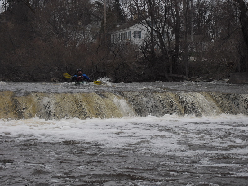
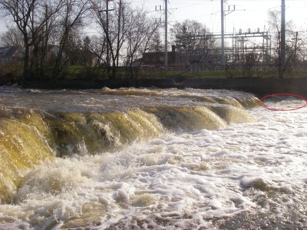
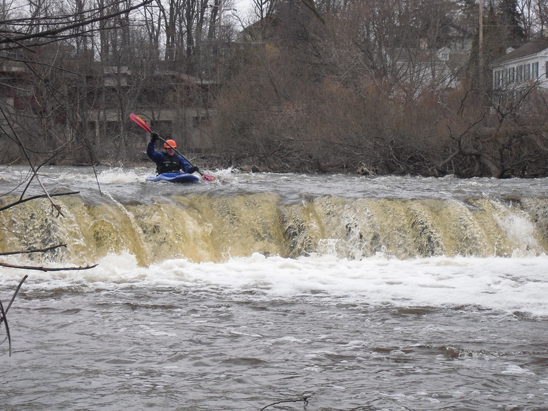
A dam ( potentially runnable far left, but landing very hard and very shallow (therefore not recommended); completely inadvisable anywhere else) precedes a stretch of shallow-bedrock warm-up rips leading to a short (1-2') ledge immediately under a highway/railroad bridge in the heart of town. Just downstream, a taller (6-8') ledge combination is encountered. River left is more gradual, center river is slightly more steep and stepped, while river right is a taller and more abrupt combination (I.E., looks painful). More sloping bedrock leads to final shorter ledge (2-3'), which could form a sticky hole to river left (where most of the water will be, and the slightly right-to-left-sloping riverbed will try to take you).
While a handful of waves develop down the course of this short run, most are catch-on-the-fly. The shallowness of the bedrock, the swiftness of the water, and the lack of significant eddies make repeat play dependent upon not being blown downstream too far, and paddling back up the current to regain the wave. Aggressive playboaters wil
...
*******************************************************************************************
The 'River Description' (above) covers the section of highest interest to whitewater paddlers. All of the following 'Rapids Descriptions' (below) provide miscellaneous info about other areas of the Sheboygan River, either upstream or downstream of the 0.3 mile section in downtown Sheboygan Falls.
\\\*****************************************************************************************
Just a FWIW, there is a small dam in Johnsonville (near the Johnsonville (brats) plant), which can be run, and could offer some play at some flows. (Not sure what might be the best flows -- not enough experience with it. I've looked at 586 cfs and 800 cfs and base of dam looked largely unplayable.) There is some (very little) additional minor play possible between the dam and the road.
Distance listed is 'crow flies' distance (from parking at Sheb.Falls), not river or road distance.
USGS lists a sampling site (at the bridge) with drainage area of 194 square miles. This suggests flow at this point might be less than half (0.464*) the active Sheboygan gauge.
Most boaters are best advised to put-in from the park (grassy area) river-right just below the dam.
Only a very few paddlers are likely to take the time explore from river left, either parking on Water Street near Brown Court or (carrying from the take-out parking, crossing the Mason Street bridge, then up a path on that side of the river.
Extreme river-left of the dam may be run (at some flows) but will be a hard landing on water sheeting shallowly across bedrock.
Otherwise, find a spot to launch into to paddle the runout.
Width: 75' - 120' Length: 620' (from under bridge to bottom ledge)
Immediately under the Monroe Street (CTH.PP) bridge lie a few small ledges (best one(s) lie(s) to the right of the bridge pier). Just downstream lies the bigger ledge/combination.
Starting left of the bridge pier, if you stay fairly centered in this side of things, the gradient is mostly a steep sliding drop. The more to the right you run (of this river-left side of the bridge-pier), the more 'stepped' the drop becomes.
If you go to the right of the bridge-pier, after passing the small ledge and/or wave under the bridge (COTF surf?) you may be able to charge hard to the left to 'boof' off a part of the ledge below which lies parallel to the shores, then down the lower half of the left-center slide. Otherwise (staying straight ahead from river-right of the bridge-pier) all the gradient is dropped in a two-step ledge. The first 'step' varies a bit in width, so the location you drop it (and, of course, the flow) could significantly affect your ability to control how smooth or rough your 'double-boof' will be. Water will generally sheet pretty fast and shallow across both the mid-step and the base of this ledge, so expect a 'hard' landing! (If you land bow 'down', it will be particularly unpleasant!)
After dropping the main ledges, if you charge HARD to river-right, a diagonal wave leads (at some flows) to a fine little surf wave very nearly up against the wall of the building at river-right. (This will be a one-shot, CoTF wave.)
IT IS HIGHLY RECOMMENDED TO SCOUT THIS THOROUGHLY (from river-level) before putting on.
The ledge at the end of the gradient in town is not that big a drop (typically just about 2', more or less), but the hydraulic it forms can be substantial.
The river is wide here (as it is throughout this section), and the lip of the ledge is VERY irregular, thus the shape of the hydraulic varies across the width of the river.
The most usual take-out will be from the pool immediately at the base of the final ledge/drop.
The easiest egress will be from river-right eddy, carrying up onto a near-river grassy strip, carrying toward the buildings (upstream), to carry up wooden stairway to the parking area. The rows of parking nearest the river are all reserved for tenants of these units, so boaters will need to park in the areas along the aisle nearer the street.
Some paddlers may prefer to use a parking area very near the river (about 0.2 mile downstream of the final ledge). Doing so avoids the steep carry-up or steps to the parking right at the falls. However, it also significantly reduces the liklihood of 'doing laps' (for those who may wish to carry up to try alternate routes down the main falls).
The Onion River comes in from the right. Two miles (as the crow flies) upstream on the Onion, in the little burg of Ourtown, there is a short stretch of bedrock and minor gradient which could be fun, but there is no convenient public access for miles upstream or down. All surrounding property is privately owned, so permissions would need to be asked to access the short stretch.
There is unlikely enough there to make a longer run (from roadbridge accesses) worthwhile for true whitewater boaters, though it could be an interesting float trip for novice and recreational paddlers.
The first of two dams downstream of Sheb.Falls, this dam has a very short drop, but a nasty reversal at most flows, making it a highly recommended ('mandatory') portage. With proper scouting and safety precautions (partner on shore with a throw rope at the ready), it may be runnable at some flows. Again, it is such a short drop, it won't really be any significant thrill when you can run it, and the potential dangers of being recirculated far exceed the potential thrill of running the drop.
This dam is taller than the first, has a stepped face, a cement splash-block, and a short trip-wall just downstream. Again, most of the time, most paddlers (canoes/kayaks) should consider this a highly recommended ('mandatory') portage. This is not to discount the possibility that someone (properly experienced boaters, in the right (whitewater) boat, at some flows) might be reasonably able to run this drop. At some flow, it may even provide some play. However, by and large, we have to recommend extreme caution here. Expect there to be fishermen present at certain times of year.
Aug 15, 2011
i think this is runnable when the guage is well past 3k. the sticky hole on the last drop flushes on river left and i think you could just straight up run it there at all levels.
May 15, 2011
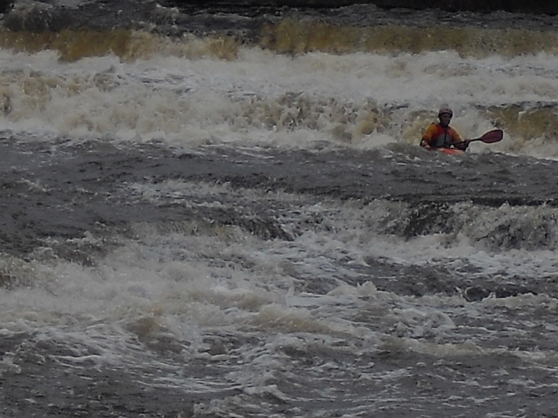
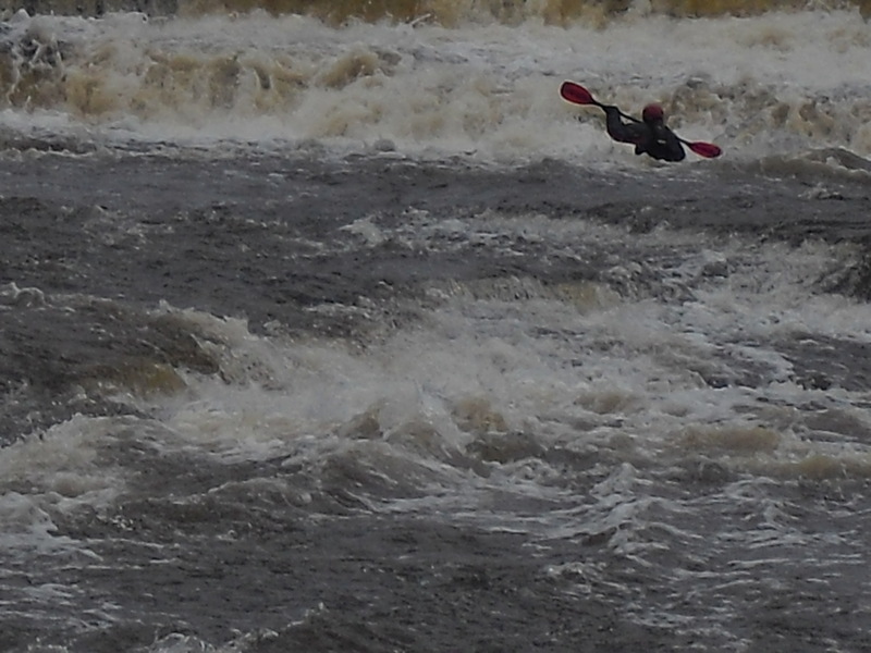
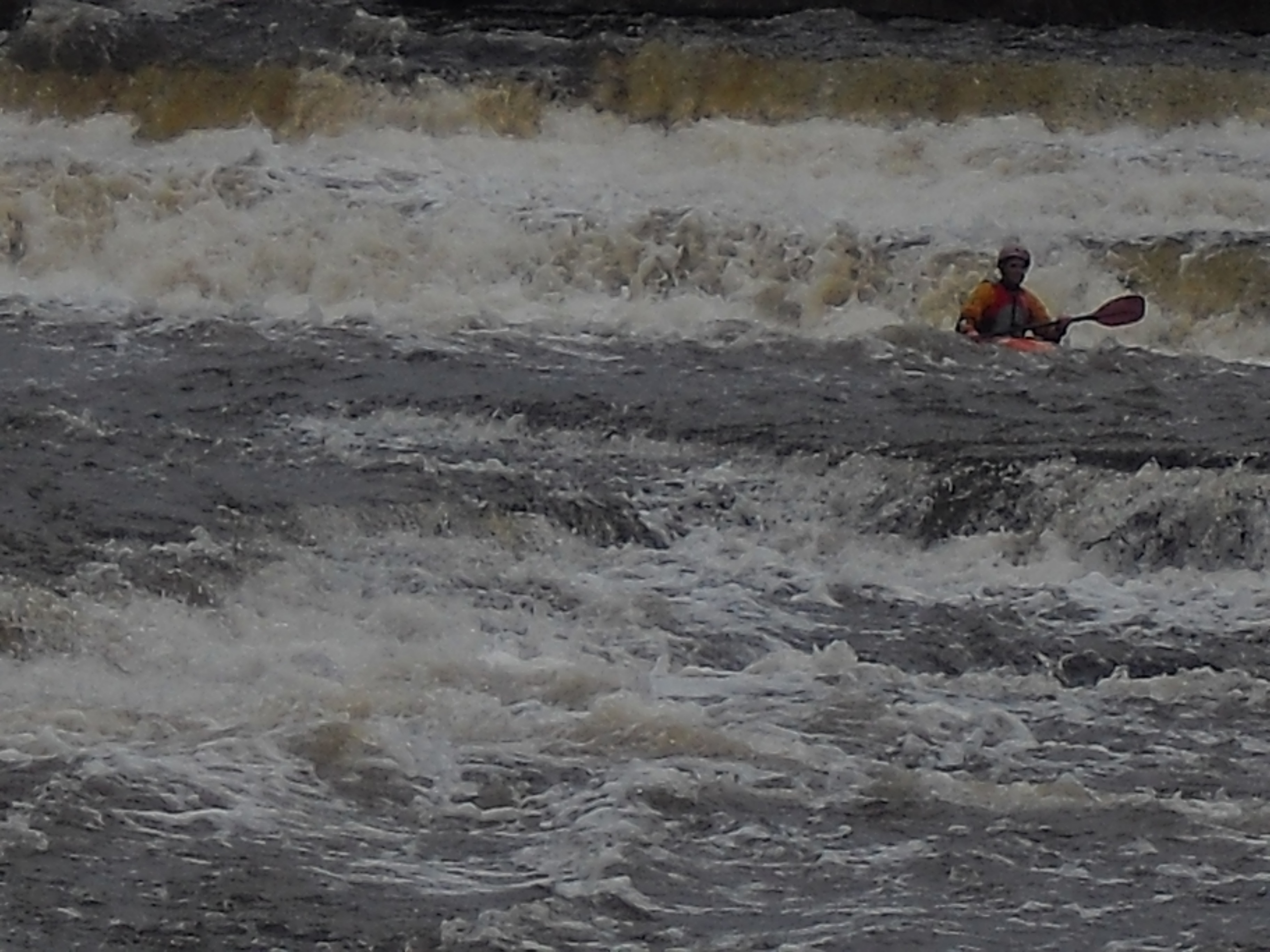
Jeremiah lining up for the boo on the final drop