| Difficulty | II+ |
| Length | 5.4 mi |
| Avg Gradient | 54 fpm |
| Gauge | American River Near Nile, Wa |
| Flow Rate as of 43 minutes | 54 cfsbelow recommended |
| Reach Info Last Updated | July 16, 2006 |
Projects
Protecting Rivers on the Okanogan-Wenatchee National Forest (WA)
The Okanogan and Wenatchee National Forests encompass more than four million acres and are jointly managed with headquarters in Wenatchee, Washington. The rivers flowing through these forests are essential to the whitewater paddling community—both as close-to-home runs for Washington residents and as classic objectives for paddlers traveling from across [...]Read More
River Description
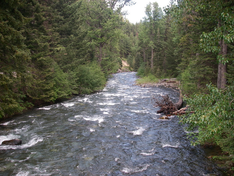
This is the run on the Bumping that runs along Highway 410 and starts at American Forks. In his guidebook, Bennett refers to this as the American, but its mostly on the Bumping. After just over 3 miles on the Bumping you reach the Little Naches confluence where the Naches River begins.
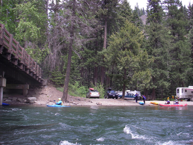
Logistics: To reach the put-in, drive along the river to Highway 410 mile 88.4 and turn south onto Bumping River Road. You will immediately come to a bridge across the American. This is a potential access or you can continue on downstream river right to American Forks Campground and put-in at the confluence with the American River. Access is also available just upstream of the confluence with the Little Naches at the FR 1709 Bridge (the road to Halfway Flat). This is a popular put-in for runs that continue on down the Naches. The take-out is on the Naches River at Sawmill Flat Campground access at Highway 410 mile 93.3. This campground has a nice picnic and day use area with good river access so you don't have to worry about hiking through someone's campsite to access the river.
River Features
Put In
Access PointDistance: 0 mi
Take Out
Access PointDistance: 5 mi