Coweeman River
Baird Creek to Jim Watson Creek
| Difficulty | II-III(IV) |
| Length | 11 mi |
| Avg Gradient | 41 fpm |
| Reach Info Last Updated | March 12, 2024 |
Washington’s legendary volcanoes – Mount Rainier, Mount St. Helens, and Mount Adams – are the source of wild, free-flowing rivers and streams that cascade over big drops and through deep basalt canyons on their way to the Columbia River. Rivers like the Clear Fork of the Cowlitz, Cispus, Green, [...]Read More
Currently the uppermost access is at the locked Weyerhauser gate locked near Baird Creek. The gate blocks access to the first 2 miles of the run as described in Bennett's guidebook, taking out one potential Class 4 and some interesting Class 3 rapids.
Most boaters do this run on 'blowout days' when everything else is too high. When it's really high it's not class 2-3 but more like 3-4. This rating is based on continuousness and wood hazards as there are no class 4 rapids. The launch point was at the gate but a fish habitat structure has been constructed just downstream from the old launch point so paddlers have started launching at an easy pull-out 100 yards downstream from that. This fish habitat structure at the old put-in has been runnable but you just never know with wood whether there's something in there to grab the bow that goes a little too deep.
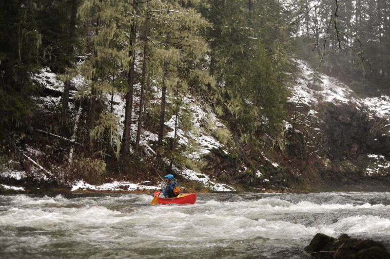
Downstream from the launch the run starts right in with continuous class 2 water. You will find eddies along the banks and great surfing waves out there. Approximately a half mile down you come around a right bend and a diagonal ledge with a bad sticky pocket hole on the right--go left, out onto the rock prominence, to stay away from the pocket. This is more important at high water.
The next steeper bit occurs on a left bend as you approach the road. After the left bend a long class 3 ensues named Busytown. If you figure out you're there, the line is center with zig-zagging moves to avoid holes, and eddies along both sides. At very high water the line is center-left.
Three miles downstream from the launch is the biggest rapid, called Cable Drop. You will know you are approaching it from the cable across the river overhead with one strand trailing in the river. The rapid has concrete on the left and a rock ledge on the right. The main channel is straightforward, following the water from center to center left. It's steep enough that scouting on the drive up is recommended to confirm it is cl
...Generally inaccessible due to the Weyherhauser Gate near the Baird Creek confluence being locked. There are also engineered log structures in the reach from here down to Baird Creek.
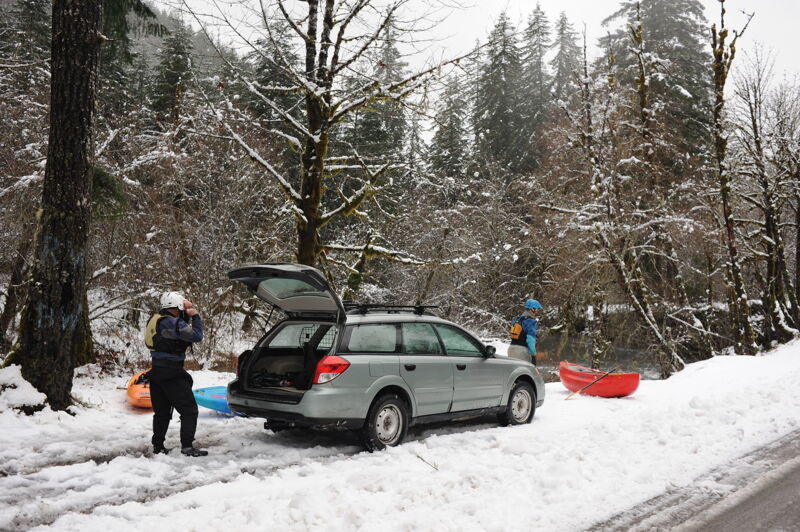
Access on river right located at a small pull-out on river right just downstream of the Weyherhauser Gate at the confluence with Baird Creek.
The biggest drop that can be scouted from the road.
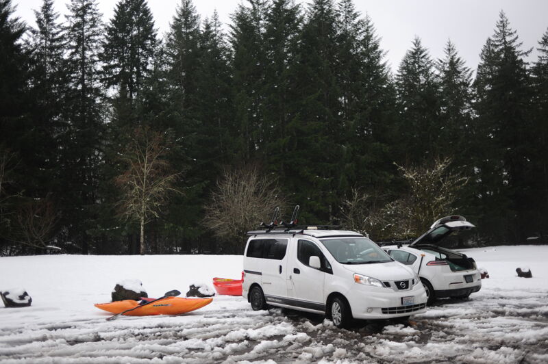
This public park managed by Cowlitz County for day use and access to the river is one of the few public access points on the river located on the 6000 block of Rose Valley Road. It is at the confluence where Sam Smith Creek joins the river.
Jan 11, 2024
Flows were low but we still had enough water to have plenty of fun with snow covering the banks and temperatures right around freezing.
Jan 8, 2024
Hi there, Terresa mistakedly put 2023 on the date of the Stakeholder meeting. The meeting is acutally 1/11/2024 at 10am at 11018 NE 51st Circle. Park in the visitor parking and head in through the front office.
See you there!
Brice
Dec 3, 2023
**There will be a STAKEHOLDER MEETING for folks concerned about the future of the Coweeman on Thursday, January 11, 2024, at 10am. Location: Lower Columbia Fish Enhancement Group, 11018 NE 51st Cir, Vancouver, WA 98682, USA.
**We went to the Coweeman on a day when masses of local boaters went to run the Devil's Lake Fork of the Wilson at high water, and found low but rising water on the Cow. The EFL peaked at 2500 that day, and we had a lovely low-stress paddle. The bigger surf waves are not present at low water, but there are still lots of medium and small surf spots.
**The log jam below Cable Drop is currently blocking both sides of the river. We landed immediately above it on river right and portaged there. It would be possible to land on the island below the log jam and walk up to cut out one 4' log that's blocking the left channel, eliminating the portage for now. Mind you even with that removed it's NOT clean, safe, or straightforward.
**There is quite a bit of tape hanging from trees along the river. It's pink, and black/white checked, and has writing on the pink parts that pertains to salmon and steelhead habitat. The tape is dated October 2023, and according to a contact it is marking fish habitat and NOT marking where logs will be installed.
**With that said, as far as we know the installation of riverwide logs to slow down the Coweeman and create more spawning habitat is in process. This may be the last season we get to run this section.