| Difficulty | IV+ |
| Length | 10 mi |
| Avg Gradient | 132 fpm |
| Gauge | Naselle River Near Naselle, Wa |
| Flow Rate as of 34 minutes | 57 cfsbelow recommended |
| Reach Info Last Updated | July 4, 2026 |
River Description
Solid fall/winter run. Canyon creeking. Easy to scout. 1.5 hours from Portland.
Class V over 1,500 cfs.
write up on Oregon Kayaking (2001)
write up on Into the Outside (2014)
video on YouTube (2020)
Rapid names were officially established in the copy of Paddling Pacific Northwest Whitewater (2016)
River Features
Put In- Skamokawa
Access PointDistance: 0 mi
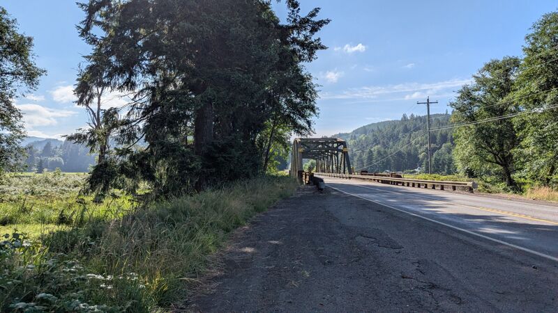
Graffiti Bridge
46.360400, -123.426100
---
Middle Valley Road to Oatfield Road to Alger Truck Trail
It's a gravel road to a Weyerhaeuser Timber logging bridge over the South Fork
Take Out- Gray's River
Access PointDistance: 10 mi
The Highway 4 Bridge over the Main Gray's
46.359062, -123.566587
---
Another take out farther down is at Washington's last public covered wooden bridge. Good parking on public access river right.
46.355094, -123.581588
---
The other option was to take out where the SF and the Main stem confluence.
Drive up Fossil Creek Road for 5.4 miles but enter at your own risk through the open logging road gate. Easy to get stuck behind it overnight if the timber guys randomly close it at anytime. Rafters used to put in here to run just the Main section before the gate was put in.
Stepmother
Rapid
short Class II warm up section before this one
9 footer
mando right boof
some beat down potential on the left
Lucifer (aka Pinic)
Rapid
longest rapid
boulder garden- that ends with potential for a sieve and a sticky hole- right before another gorge
scout on the left
Trip Reports
Log in to add a reportGS
locals are cool about boaters - Gabi Syska
Nov 23, 2025
There's a public restroom in the town of Cathlamet under the library, next to the grocery store. For beers after:
Gray's River- Duffy's Irish Pub (Fri-Sun)
Skamokawa- The O (Saturdays)
Cathlamet- The Spar (good food every day)
The locals kinda welcome boaters in their towns since the normal folk are mostly just passing through on SR-4 headed to Astoria and the coast.
