Teanaway, N. Fork
Johnson Creek to Stafford Creek
| Difficulty | III+ |
| Length | 3.3 mi |
| Avg Gradient | 100 fpm |
| Reach Info Last Updated | July 18, 2014 |
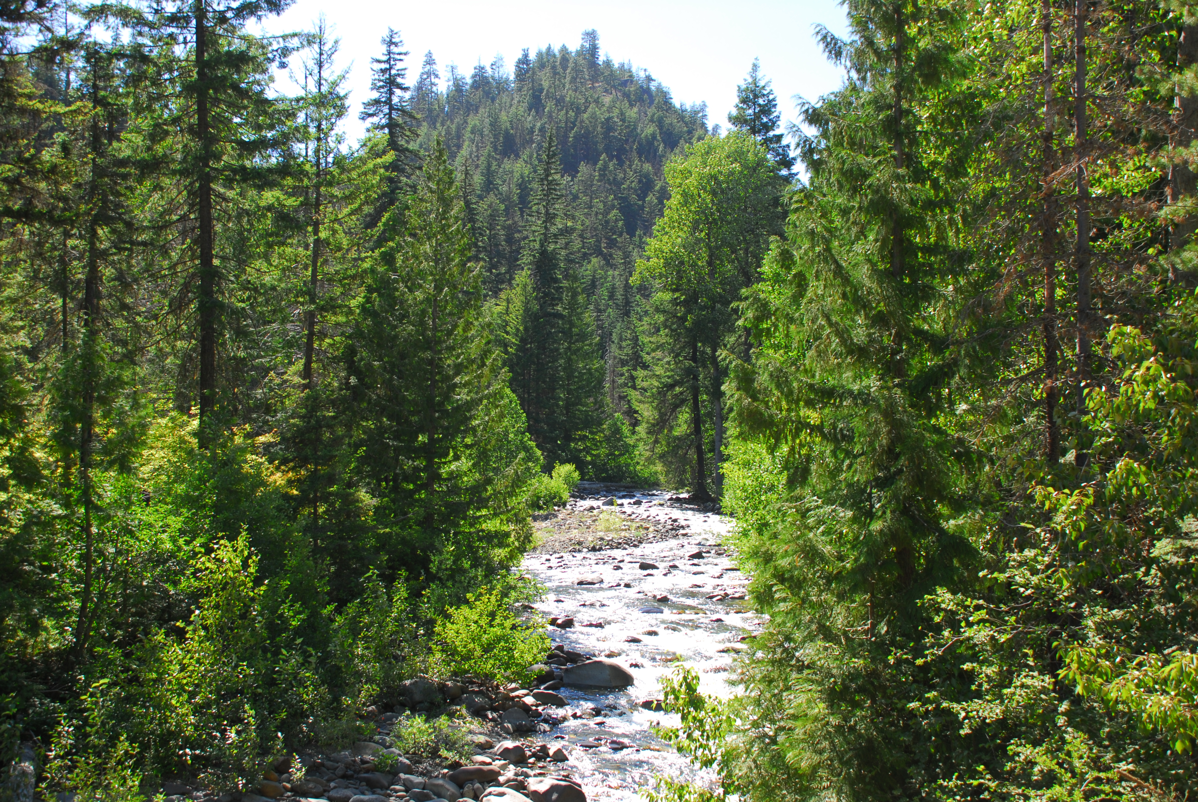
This run is mostly class III through small canyons interspered with more open reaches. The Forest Service Road parallels the river and offers several vantage points for scouting. The potential for wood hazards exists. The river has a short season around the peak of snowmelt in May. The drainage has some great camping at both campgrounds and dispersed recreation sites. If you are doing a multi-sport weekend, you can find some great mountain biking in the watershed.
Logistics:
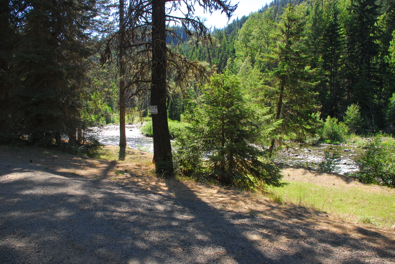
Take Highway 970 which heads east out of Cle Elum and at mile 6.9 turn north onto Teanaway Road. Follow Teanaway Road to mile 13.1 (just past 29 Pines Campground) and take a left on Forest Road 9737 towards Beverly Campground. At mile 1.1 on FR 9737 drop a shuttle car or bike at the take-out (you will find a good pull-out at this spot and river access just before the cattle guard).
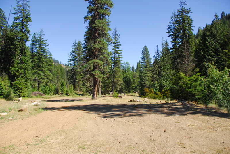
To reach the put-in, continue up FR 9737 (at a Y you will take the left fork) past Beverly Campground (at mile 3.9) and at mile 4.2 you will reach a pull-out and dispersed recreation site that serves as the put-in.
May 17, 2010
Written summary of run on 5/15/10 @1000 cfs on the BLM gauge for the main stretch of the Teanaway (200-250 cfs on the North Fork) posted here:
http://www.professorpaddle.com/rivers/riverdetails.asp?riverid=639