Rock Creek (Nehalem)
Keasey to mouth
| Difficulty | I-II(III) |
| Length | 12 mi |
| Avg Gradient | 13 fpm |
| Gauge | Nehalem River Near Vernonia, or |
| Flow Rate as of 27 minutes | 3.93 ftbelow recommended |
| Reach Info Last Updated | March 19, 2019 |
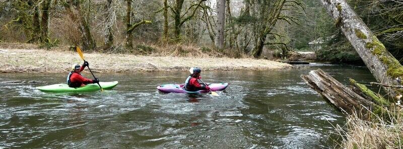
The Keasey to Vernonia run on Rock Creek is for advanced beginners through intermeidate paddlers. Rock Creek is characterized by a small winding stream with small one foot ledge drops in the upper section, wood hazards in the corners, a six foot drop slide in the middle section and eventually finishes through pasture lands. While this run is mainly Class I it does get Class II characteristics at higher flows. The slide is II+ to -III. I would not reccomend this run for first time beginners, but once manuevering skills are mastered this is a good next step up stream.
To find the put-in you must first travel to Vernonia which is located on highway 47, then turn onto Keasey (Rock Creek) road at the intersection between the High School and Grade School in Vernonia. Travel the paved road West until you come to the third concrete bridge over Rock Creek. All bridges are County bridges and can be used as put-ins. The first bridge is at river mile 9.5, the second bridge is at river mile 11 and the third bridge is at river mile 12.2
The ledge drops are mainly from river mile 12.2 to 11. The six foot slide is around river mile 8, GPS N45.52.53 W123.16.29 There is a sneak route around this slide by staying river left and continuing in the old river channel which makes a large oxbow around this man made slide. Lore has it that some old timers used a large bulldozer to punch this short cut in the river. Please scout this drop for any wood hazards before running. Please note there is an overhanging tree at the bottom of the slide that has limbs hanging down into the stream, these can be real hard on ones face. I will attempt to remove this hazard this summer.
The section of river from the first bridge at river mile 9.5 to 7 is a very beautiful section characterized by high banks and hanging streams that fall into the stream. Moss and ferns hang from these high banks.
Please respect the private property on this run. Most of the private property lies on ri
...No trip reports yet.