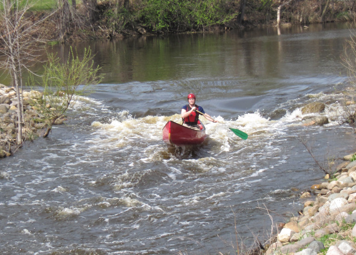
Red Cedar
A) Williamston, McCormick Park (0.1 miles)

| Difficulty | II |
| Length | 0.1 mi |
| Avg Gradient | n/a |
| Gauge | Red Cedar River Near Williamston, Mi |
| Flow Rate as of 37 minutes | 35 cfsbelow recommended |
| Reach Info Last Updated | February 12, 2025 |
A project at the site of a former dam has created a short stretch of tame but playable whitewater for boaters in the immediate area. (Anyone who has to drive any distance to here is likely to be underwhelmed.) This is a good place for beginning boaters to practice in moving water.
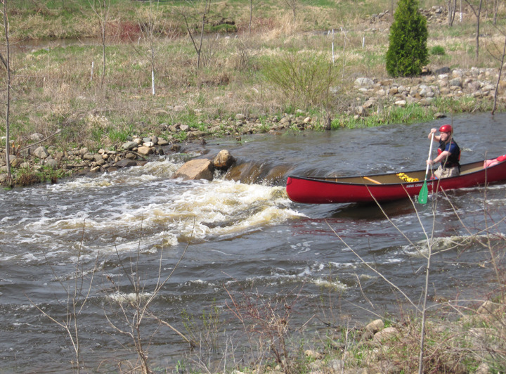
Put-in from a park on the south shore (river-left) just east of the bridge. There is a public restroom for changing.
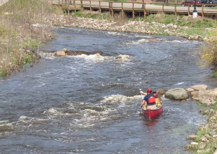
Take-out on the south shore (river-left) just west of the bridge. A boardwalk (connecting from the bridge to the end of the run) can be used to hike back up to the put-in.