Pemebonwon, S.Br.
Pembine (Hwy 141/8) to below Kremlin Rd (Park-n-Huck or 2.9 miles)
| Difficulty | II-III(IV) |
| Length | 2.6 mi |
| Avg Gradient | 44 fpm |
| Gauge | Pike River at Amberg, Wi |
| Flow Rate as of 40 minutes | 2.45 ftbelow recommended |
| Reach Info Last Updated | September 7, 2020 |
The S Br Peme is a short run that may serve well as a 'chaser' to a day of paddling due to it's easy access from Hwy 141/8 in Pembine. The upper portion of this reach from the Hwy 141/8 bridge (center of three) in Pembine contains some smaller drops for a warm-up before the main drop is reached. (This is a smaller stream, so one will likely encounter deadfall.)
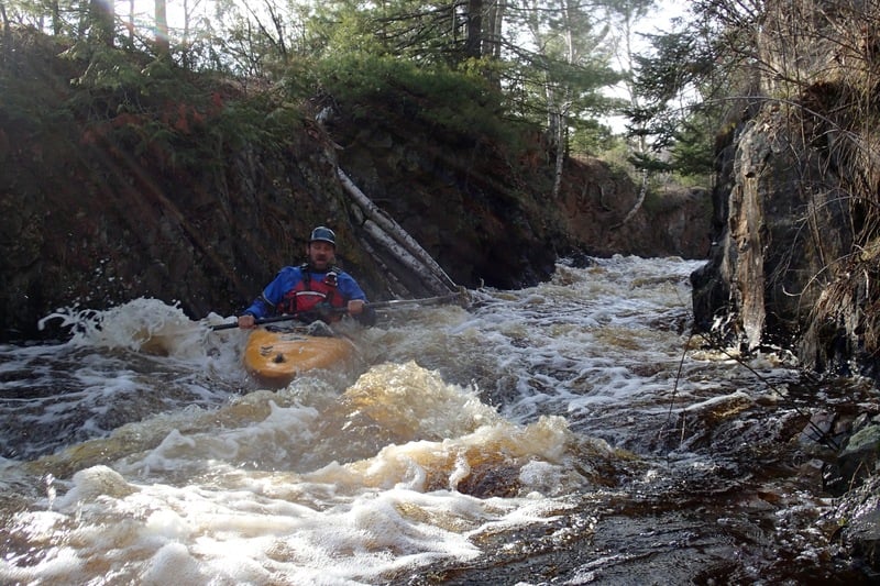
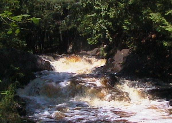
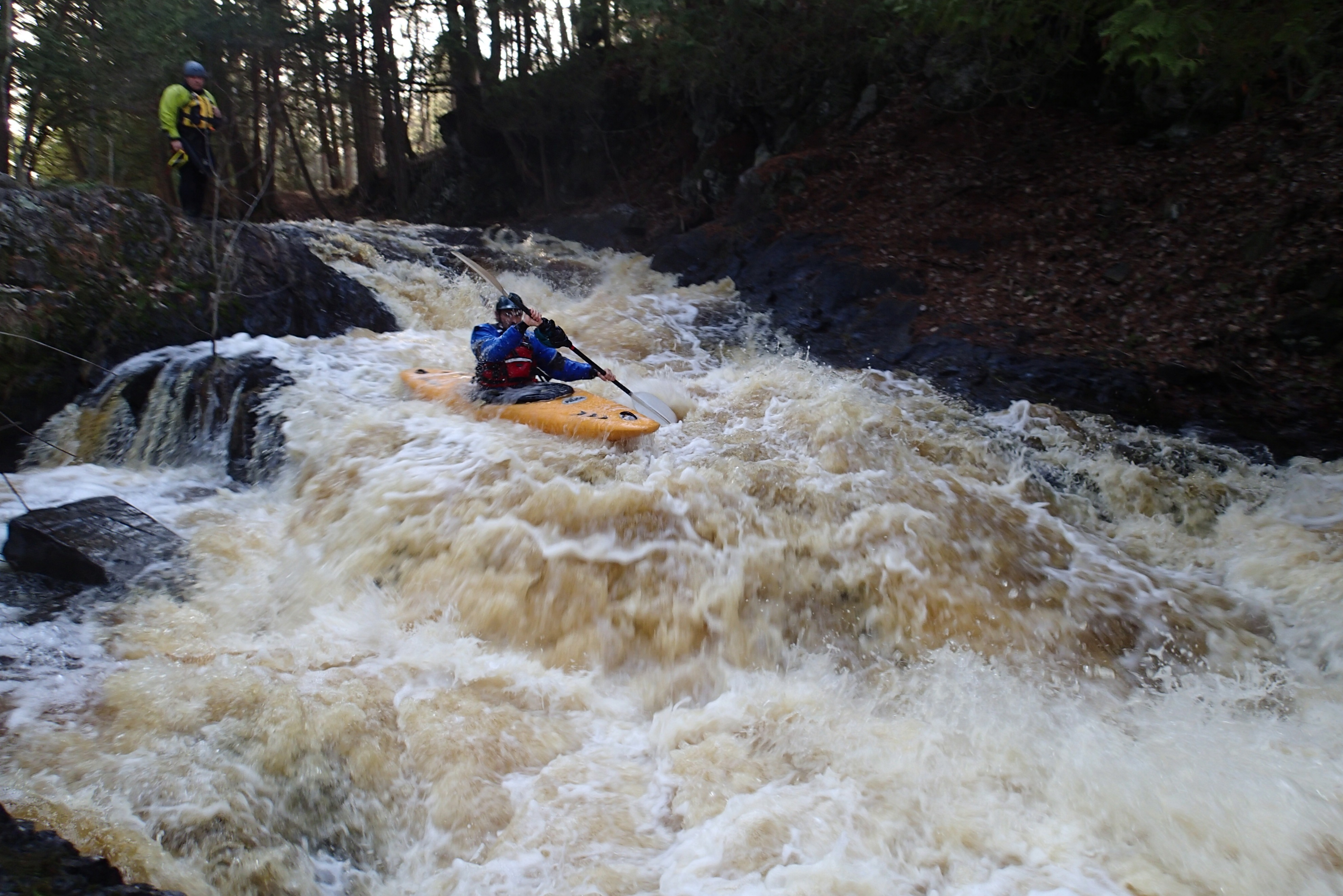
Many boaters are likely to just 'park-and-huck' the main drop which we refer to as 'Kremlin Falls' (though we are unaware if there may be some other local name for this drop). The entrance to this drop is right at the Kremlin Rd bridge as the river drops about 50' in the next 1/3 mile. The current picks up through class II boulderbed, then becomes more complicated to climax with an angled falls of perhaps 10' in a narrow constriction. Class II run-out takes you from immediately below the falls until past the railway bridge.
The drop can be scouted or spectated from the railway on river right, which boaters will use to carry about 0.2 miles back to vehicle(s) at Kremlin Rd.
This may pair well with its sister reach on the N Br Pemebonwon located 10-15 minutes north, or with various runs of the Pike, within a half-hour to the South or SouthWest.
Enjoy the following video of this run: https://youtu.be/SNVYu7e1eHg

USGS StreamStats 4.3.11 calculates drainage area at our listed put-in as 46.8 square miles.
The USGS gauge for Pike at Amberg lists drainage of 255 square miles. Thus flow here *could* be a bit more than 1/6th the flow on that gauge.
I see (via satellite views) virtually no sign of any rapids or features upstream of Hwy.141 (other than very minor riffles and rips). There is not really convenient access from Hwy.141, but it appears one could go just north of the river, head WSW on Old Hwy.141, then SSE on Crain Lane to a point virtually under (new) Hwy.141 to park, and carry across the railroad to the river, putting in at the first apparent rapids, and shortening the trip to just 1.8 miles.
There is pretty decent parking on a gravel pad more-or-less between the railroad and the road here. It is likely that many paddlers will actually forego the entire upper part of this run, coming to just scout then run the main event just downstream of this bridge.
Jan 1, 1900
Little Miami gage was at 7.9 to 8.1 ft. Middleboro gage (we were told by other paddlers taking out at Morrow) was only at 1.6 ft. Great paddle for recreational boats as long as you have respectable paddle skills. There are some places where the current will take you into hazards if you do not have the skills to paddle out of it. Lots of choppy waves, a couple class 2 spots. LOTS of current, just plain fun. Paddle took 70 minutes. No observed strainers.