Owyhee
3. Three Forks to Rome(Middle Owyhee)
| Difficulty | III-IV(V) |
| Length | 37.8 mi |
| Avg Gradient | 16 fpm |
| Permit | Self issue permit can be downloaded from BLM website. |
| Gauge | Owyhee River Nr Rome or |
| Flow Rate as of 1 hour | 78 cfsbelow recommended |
| Reach Info Last Updated | May 26, 2025 |
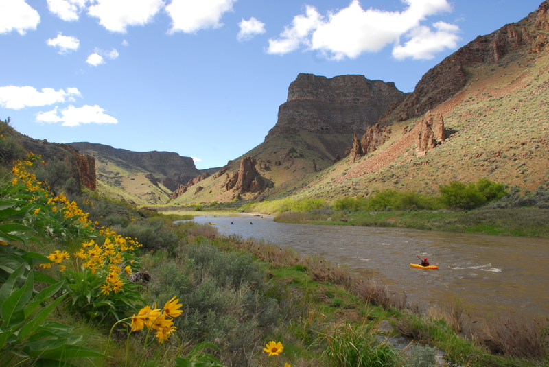
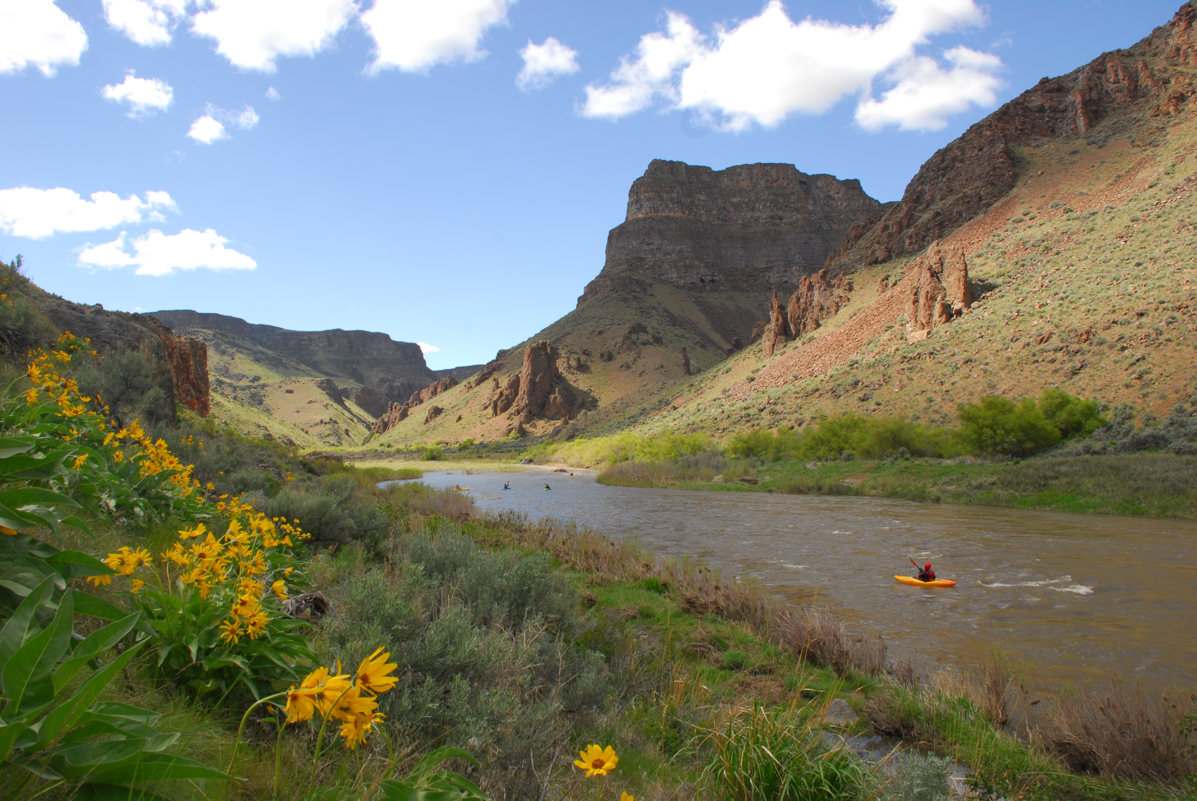
The Owyhee River, protected as a Wild and Scenic River, is renowned among river runners as one of the region’s most spectacular multi-day spring trips. Three distinct sections of the mainstem can be paddled as separate adventures or combined into one extended journey. In addition, the river’s side canyons [...]Read More
SEASON: The river can be paddled between March and June with best peak flows occurring from late March to early May. In some years the raft season can be as short as 2-3 weeks. This one is best run on the way down rather than on the way up. Heavy rains can make passage on shuttle road problematic and bring flows up to dangerous levels rather quickly. Weather can fluctuate and even dip below freezing, but nighttime lows are generally more mild down in the canyon next to the river.
DESCRIPTION:
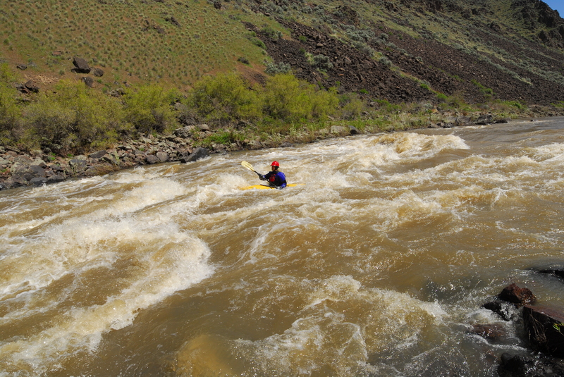
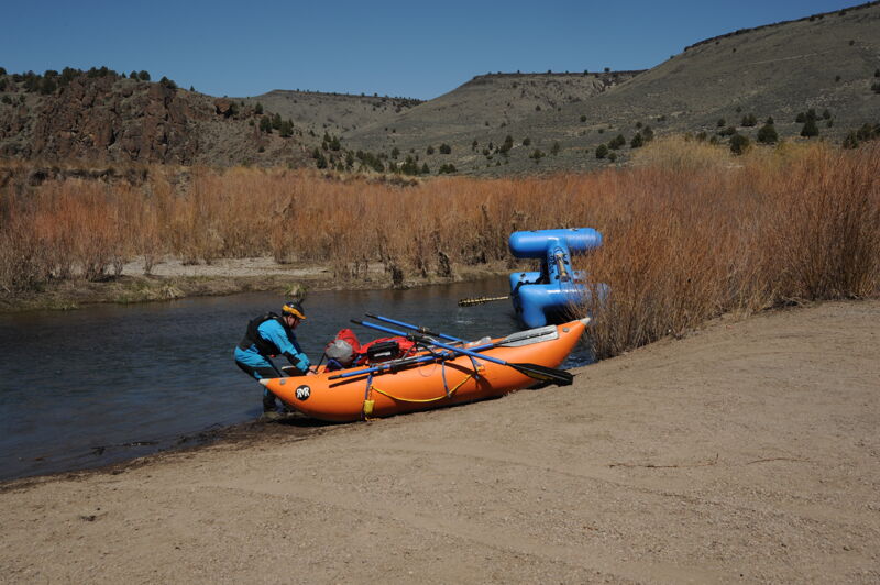
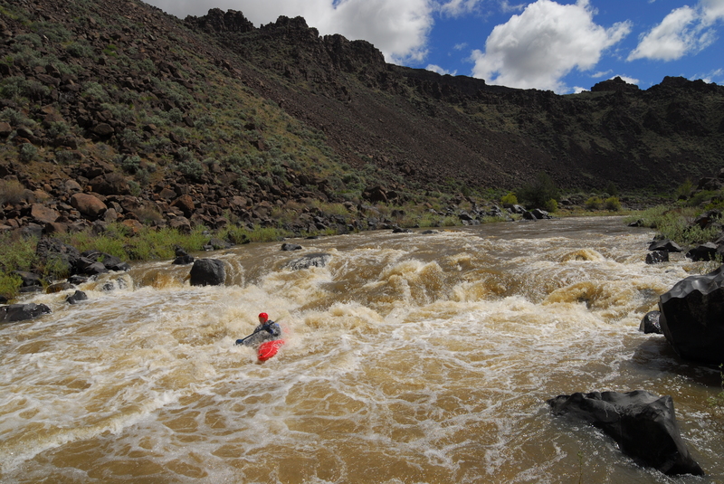
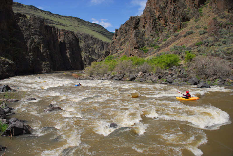
This is a great 2-4 day trip through a remote and incredibly scenic river canyon. The rapids are challenging pool-drop. The most significant rapid on the run is Widowmaker which comes at mile 21. It's a class V and while self-support kayakers can make quick work of the portage, it's no picnic if you have rafts along. It is typically portaged on river right. Depending on flows, rafts can be lined down the right bank, run down the left at higher flows, or de-rigged. Due to the portage, and the challenging boulder gardens at The Ledge and Half Mile, this section is less frequently run than the section below Rome. It's a great self support kayak trip but if you are running rafts you need to be on your game to avoid pinning particularly as flows drop below 2000 cfs. If running rafts, consider smaller more nimble craft. Fully outfitted 14' rafts are occasionally run on this section but it's a bigger commitment and the consequences of a mishap can be severe.
The Vale District of the BLM maintains an Owyhee website with excellent information including a river guide in pdf format, maps, and local contacts for shuttle services. The permit for this trip is a self registration that can be done at the Three Forks or Rome access points. The ranger station at Rome Launch site (the take-out) has been staffed in the past and can be reached at 541-586-2612.
Alternative runs that can be combined wit
...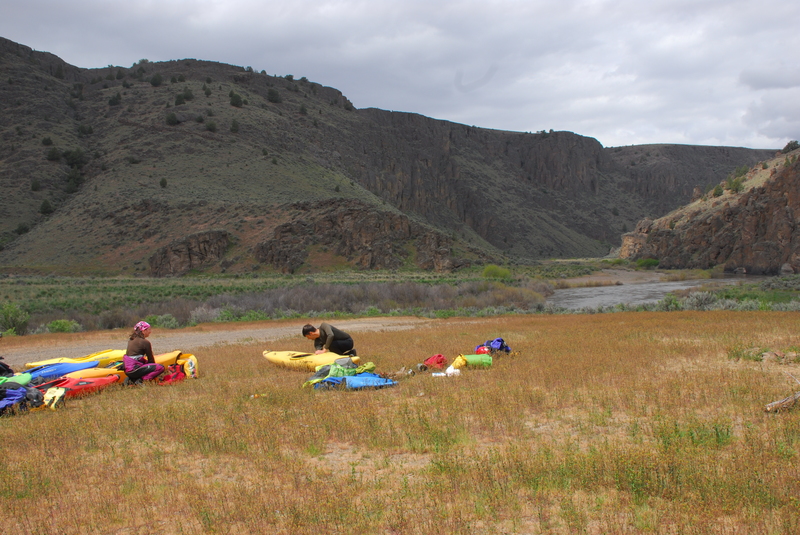
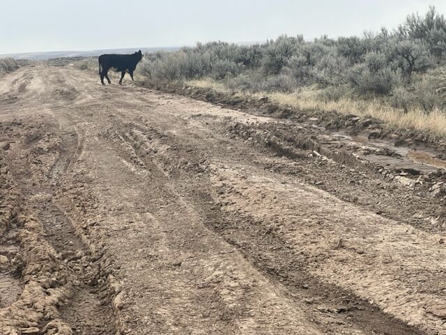
It's a long gravel road to the take-out at Three Forks. The last descent into the canyon is the toughest. High clearance is highly recommended although 2 wheel drive vehicles have made it down if they proceed very carefully and are lightly loaded--and most have made it back up but it is not recommended. If a storm comes through however all bets are off and conditions can deterioriate to a point where even all-wheel drive is insufficient. Self support kayakers can hike down from the rim but it can be a long walk particularly if it is a hot sunny day. Hiking down would be a relatively easy option for pack rafters.
After paddling 1.5 miles of flat water from Three Forks, you'll reach 'the ledge.' This class IV rapid consists of an entrance drop followed by a long, technical boulder garden. It is easily scouted from river left.
Scouting is advised, especially for rafts. At 1700 and 2200 cfs the Ledge is quite technical. Following the Ledge are about 9 miles of easy water before Half Mile.
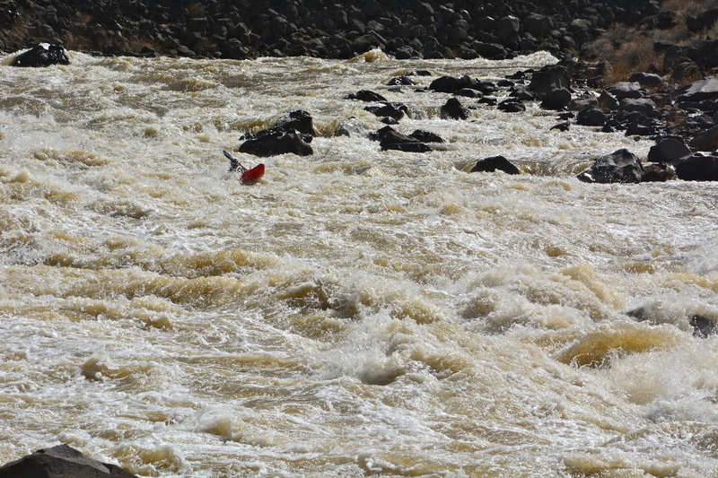
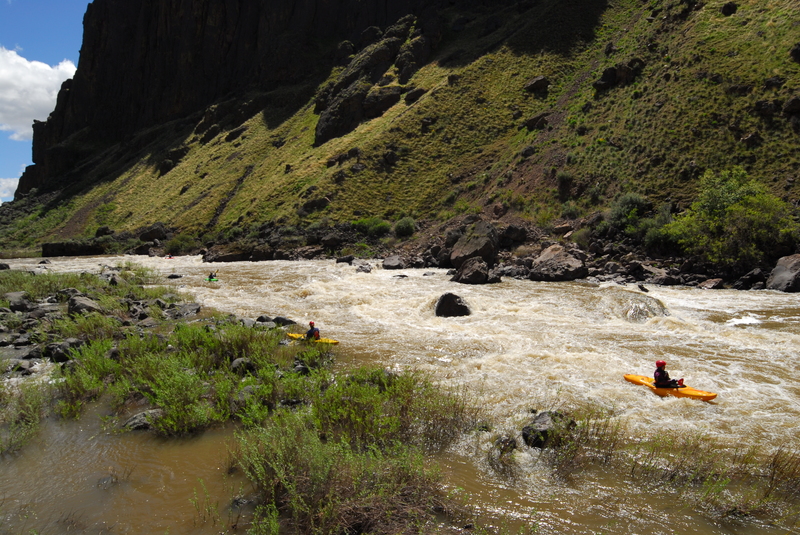
Half Mile Rapids is exactly that, about a half mile long class IV, consisting of an upper section, a short pool, and then a lower section. At lower flows the rapid becomes a technical boulder garden. At higher flows (>2500cfs) it can be a wild ride with big waves and holes.
After a short pool (at medium flows) Half Mile continues around to the left. It can be scouted either right or left. Start center avoiding rocks and holes and work towards the left at the bottom.
Raft flip is a wave or hole depending on flows.
A read and run rapid with good lines towards the right side fo the rapid.
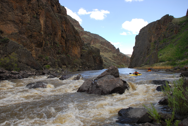
Outwash from Skull Creek has created a picket fence of rocks including the pointed Sharks Tooth. Line up for the best slot depending on water level.
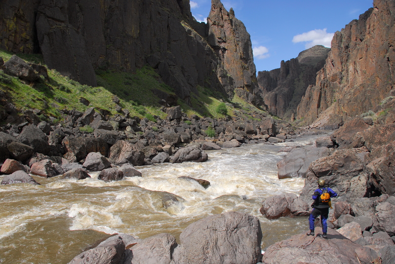
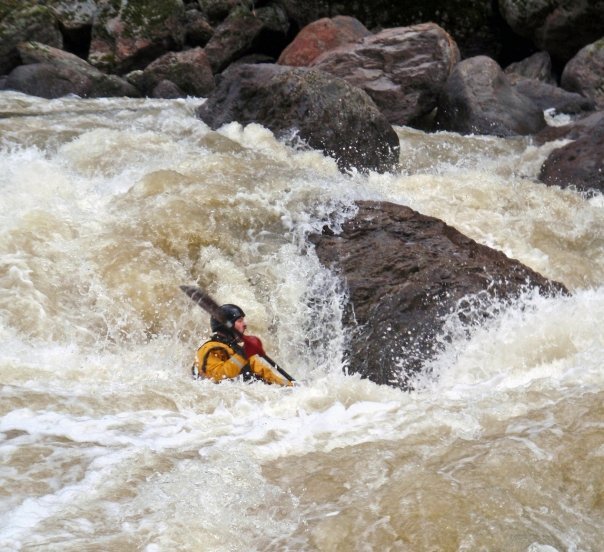
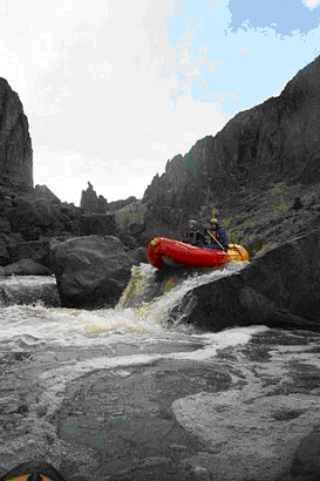
Widowmaker is the most difficult rapid on this section of the Owyhee. It is a steep class V with a huge boulders and holes creating tight lines. The accepted line changes with water levels. Many parties, probably most, portage this monster. The right side is most often used as a portage route, but the huge boulders make it a rather difficult task for rafts. Kayaks have an easier time and it only takes a few minutes to walk around the main drop and pass the boats down. Rafts are lined from the right side. Depending on the water level, a class III-IV entrance rapid can be run and the eddy caught directly above Widowmaker. The eddy is not large, so be on your toes. Scouting this entrance drop is highly recommended. Some may chose to portage the entrance and Widowmaker both. Note: Plan your day so that you have ample daylight when you reach Widowmaker. The last camps before Widowmaker are located just above and below Soldier Creek.
Following Widowmaker are 2 class IIIs and 10 miles with lots of fun class II rapids. The last 5+ miles to Rome, after you pass Sand Hollow, are flat water with very litte current. If camping, stop well upstream of Rome before the canyon walls drop away and good campsites disappear once you reach Scotts Dam. Several warm spring come in on river right between miles 29 and 30.
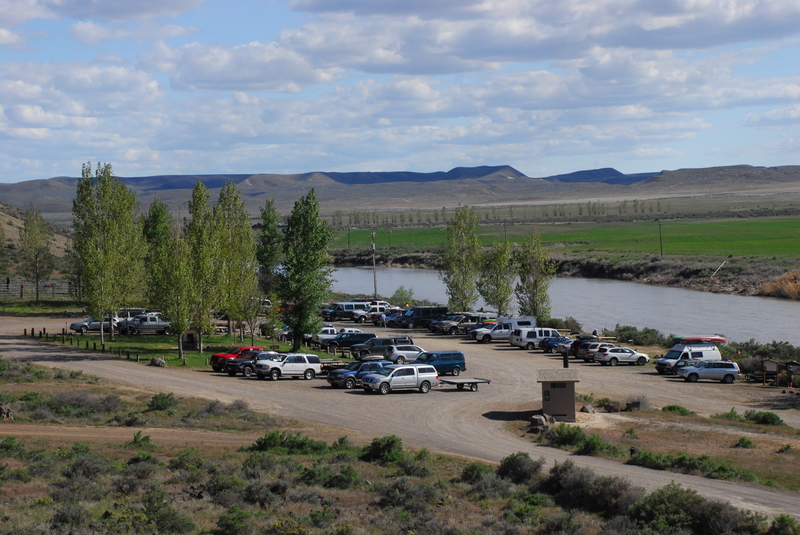
Access site on upstream river right side of the bridge. Camping is available at this site.
May 11, 2024
We boated the lower Owyhee as a group of 5 and one dog, with one 14' raft, one IK and 3 pack rafts. No BLM rangers stationed at the Rome put in. At 3000 cfs, we only scouted Whistling bird (mi 31) and Montgomery (mi 33.5), both on the left. We used Judy Hayward at Owyhee Adventure Shuttles for our shuttle, and her brother in law Luke Hayward for the tow out from mi 57 to the Leslie Gulch take out (mi 68). We were advised not to take out at Birch Creek (mi 50) as the road can be rough and impassable, but that closer take out would have avoided the tow out.
Apr 24, 2021
With low flows of 300 cfs we elected not to boat the Owyhee but instead set up a base camp at Three Forks and explored the area with colleagues from Friends of the Owyhee, American Whitewater, Oregon Naturual Desert Association, and Conservation Lands Foundation. We did see one group launch on this section with a Creature Craft and raft.
Jul 25, 2011
Floated Widowmaker last week (if you can call lining the first part, then boat disassembly/portage then more linings a float) and we didn't see a rope in the rapid. Did see one strung out wedged down in the rocks on river left, but couldn't crawl down far enough to recover. Rope was stretched tight between a couple rocks as well.