Mono Creek
2. Vermillion Dam to Mono Diversion
| Difficulty | IV(V) |
| Length | 1.3 mi |
| Avg Gradient | 90 fpm |
| Gauge | Mono Creek Below Lake Edison |
| Flow Rate as of 32 days | 25 cfsstale data |
| Reach Info Last Updated | June 8, 2022 |
Getting there: From Fresno, take Highway 168 to Huntington Lake. Take Kaiser Pass road to Edison Reservoir. Vermillion Valley dam forms Edison reservoir. Highway 168 is excellent and fast. Kaiser Pass road is narrow, pot-holed and slow, but very scenic. From Fresno, figure 1.5 - 2 hours to Huntington Lake then another hour to Edison Lake.
Take-out: Drive into and through Mono Creek campgrounds to the lake access. Or just carry back upstream on fishermen trails. Probably easiest on river right.
Put-in: Drive towards the dam, turn left along the base of the dam, then look for where the water is released. Launch into the man made channel or further downstream into the natural channel.
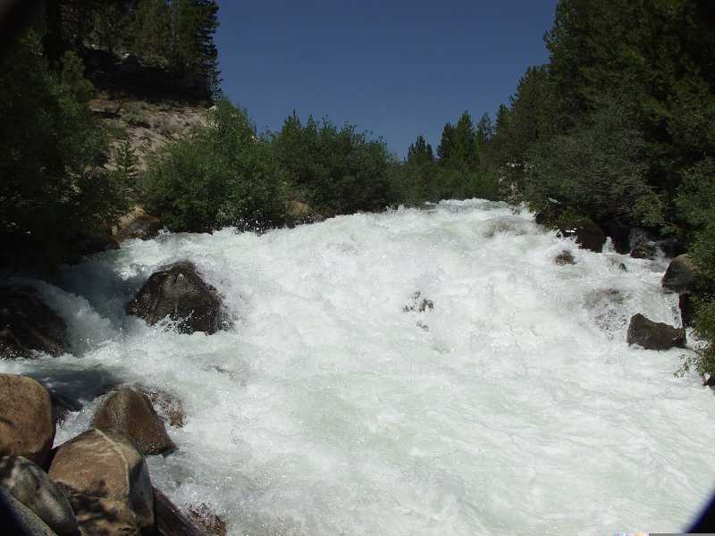
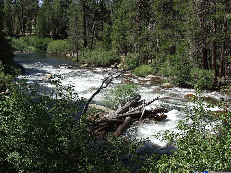
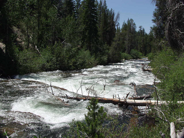
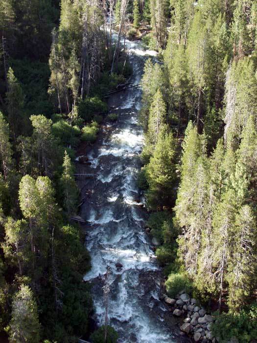
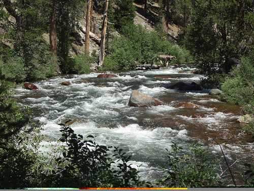
Hazards: There is a steep rocky class 5 rapid where the man made channel ends and drops into the natural channel. Scout from either side, but the portage is easiest on the left. The natural channel is very nice technical class 3 or moderate class 4 for the remainder of the run. However, there are a lot of logs in or across the channel at this time. Most are passable, but it greatly adds to the risk factor. The whole run is easily scouted on foot.
Though this section of Mono is a long way to drive for a short paddle, it is a beautiful area, and it is running in August. There are many additional attractions in the area; wonderful hot springs, high quality scenery, rock climbing, backpacking and mt biking.
Elevations: Put-in is about 7485 feet and take-out is about 7340 feet for 90 to 100 feet per mile.
Camping: There is free camping in the area and in several spots along the creek. There is also developed camping for a fee at the small reservoir at the take-out. There is lodging, a restaurant, bar, and small store nearby at Vermillion Valley resort. Mono Hot Springs back down the road also has lodging, restaurant and store. There is no gasoline past Hu
...Aug 15, 2002
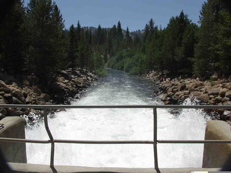
Water flows down this man made channel till it meets the natural channel at a class 5 drop. That is Edison dam in the background, a long, earthfill dam.
The mountains in the background are on the north side of Edison Lake.
This rapid is run, but it is very junky. Portage on the left is easy. Scout from either side.
Aug 15, 2002
Water is released from Edison Reservoir through this gatehouse.
Aug 3, 2002
This class 5 rapid is where the man made channel drops into the natural channel (visible entering from the right). It is a very junky rapid.
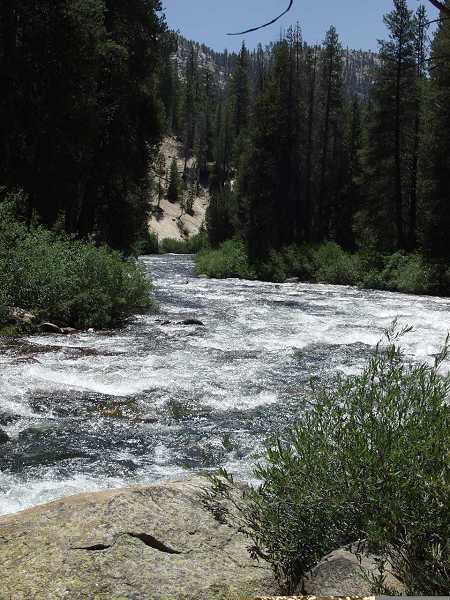
Approaching the only flat section of the creek near the middle of the run.