Big Three Mile Creek
Evertonville to Ellis Run Road
| Difficulty | II-III |
| Length | 2.2 mi |
| Avg Gradient | 50 fpm |
| Reach Info Last Updated | April 17, 2011 |
Tennessee Tim provides (2007-10-24):
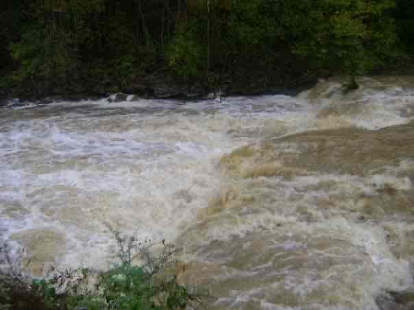
nice creek . . . smooth creek bed entire length. Biggest ledge (is) 5 foot. Fairly easy. Rest of run 2-3 foot ledges straight foward. Very little broken ledges or 'boogie' water. Water quality medium.
Most similar stream comparison in greater cincinnatti - Stonelick, Banklick, Polk Run.

Good gradient on this creek starts just downstream of Himes Road (T-28) at about 740' elevation. If one can secure parking and access near there, it could be worth adding to the length of the run.
Drainage area at his point is ~9 square miles (according to calculation using USGS StreamStats 4.0 Beta software).
This is an alternate put-in location, if parking and access cannot be secured upstream.
Gradient pretty much runs out around Slickaway Rd/763 at somewhere under 500' elevation. Drainage area at his point is ~19.7 square miles (according to calculation using USGS StreamStats 4.0 Beta software).(Downstreeam, this creek runs into the Ohio River at a location with listed pool elevation of 485'.)
