Payette
2. Beehive Bend to Jet Boat Ramp(The Lower Main)

| Difficulty | II+(III) |
| Length | 5.5 mi |
| Avg Gradient | 5 fpm |
| Gauge | Payette River Nr Horseshoe Bend Id |
| Flow Rate as of 1 hour | 3010 cfsmedium runnable |
| Reach Info Last Updated | July 7, 2024 |
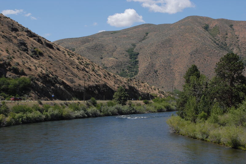
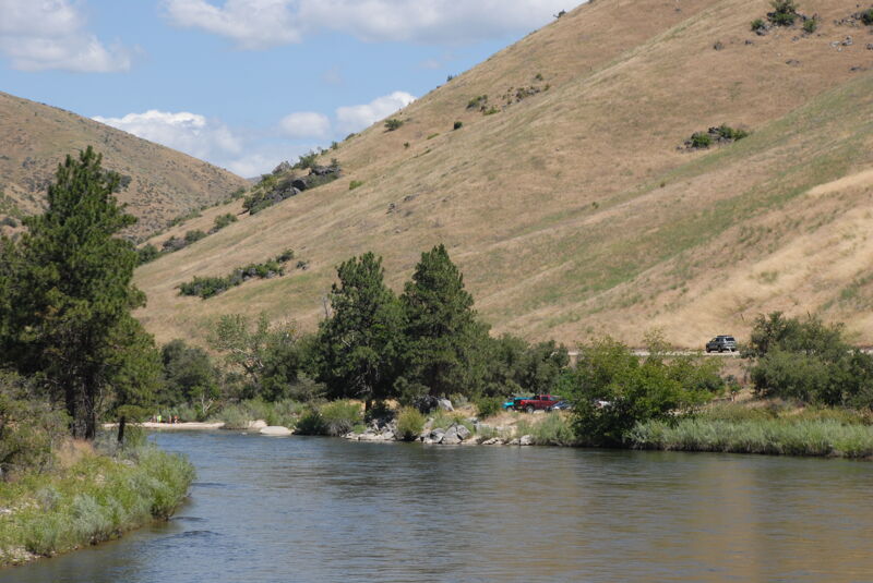
This is a great warm-up run to prepare for the Payette's 'Upper Main'. There are several class II sections, nice eddy-lines to practice on, and one class III 'Climax' to finish up the run. About 1.5 miles from the put-in you can pull over for tasty root-beer floats at Cooper's, a fun stop if you are not in a hurry. Look for the sign on river left. You will find lots of nice little sandy beaches to stretch your legs as well. You can pull out at Parnell Beach if you want to miss the Class III. The Climax Wave has become more popular as a 'park-n-play' in recent years.
WHEN TO RUN: The Lower Main is runnable most of the year. Be warned that this becomes a larger volume river in the spring (May/June) and can reach 15,000 cfs. But most of the summer it starts at about 7,000 cfs and works it's way down to about 2,000 cfs by September. October flows dip to around 800 - 1200 cfs. The river is still runnable at this level, but it IS low and a very different river.
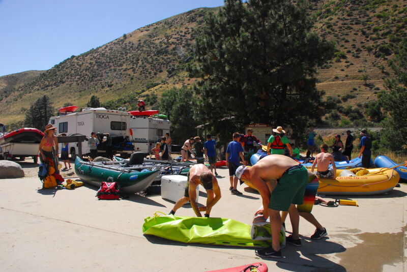
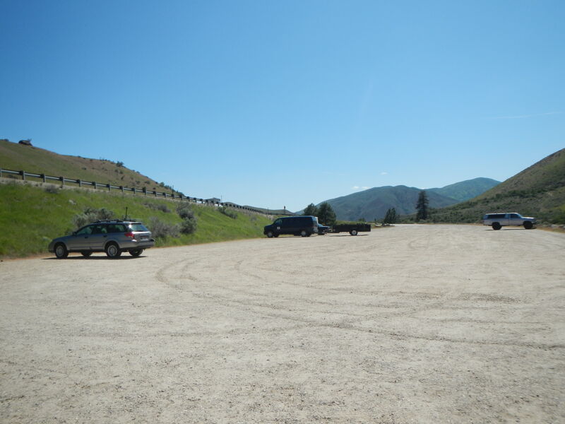
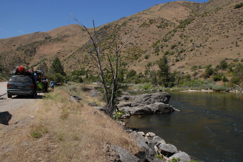
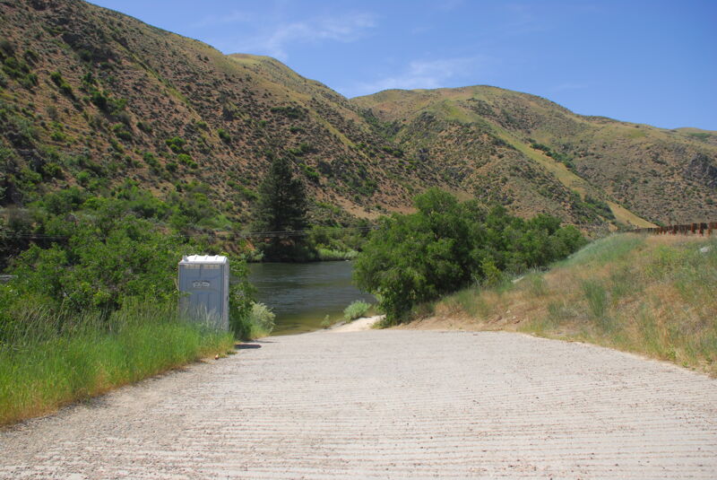
HOW TO GET THERE: From Boise take state hwy 55 north about 25 miles to the Beehive Bend river access area (Highway 55 mile 71.5). This is a fee parking area - $3.00/day or $20.00 season pass for the Payette system. Season passes can be purchased at the USDA Forest Service/Bureau of Land Management Interagency Visitor Center in Boise, Boise National Forest District Offices (Emmett, Lowman, and Garden Valley), Alpenglow Sports (Bogus Basin Rd.), Ponderosa Sports (between Horseshoe Bend and Gardina), Banks Cafe and Store; Garden Valley Store, Boise Army Navy Store, Cascade Outfitters, Cascade Raft Company (about 1.5 miles south of Beehive Bend), Idaho River Sports, and REI. Day passes can be purchased at the river access sites. Restrooms and changing rooms available.
SHUTTLE: Leave a shuttle in the large parking area just after crossing the bridge north of Horseshoe Bend (Highway 55 mile 66.2), or about 1 mile further on at Parnell Beach (Highway
...
Access area with parking also used as a take-out for the run upstream of this one. Located at Hwy 55 mile 71.5.
Private access point at Cascade Raft and Kayak. Located at Hwy 55 mile 70.4 and USGS river mile 64.7.

Some good eddies for working on turns and ferries and an alternate access point.
The river pushes from right to left setting up a nice little wavetrain. Located at USGS mile 62.0.
On river left look for a tall rock (popular jump-off rock for swimmers) shortly after S-Turn. This is a great takeout if you want to miss Climax. Located at Highway 55 mile 67.2 and USGS river mile 61.2.
This is a fun class II! Nothing tricky, just enjoy some fun waves and eddy lines to play on that some refer to as Double Suck Eddy. You can exit the river here at a small pull out. Located at Highway 55 mile 67.1 and USGS river mile 61.1.
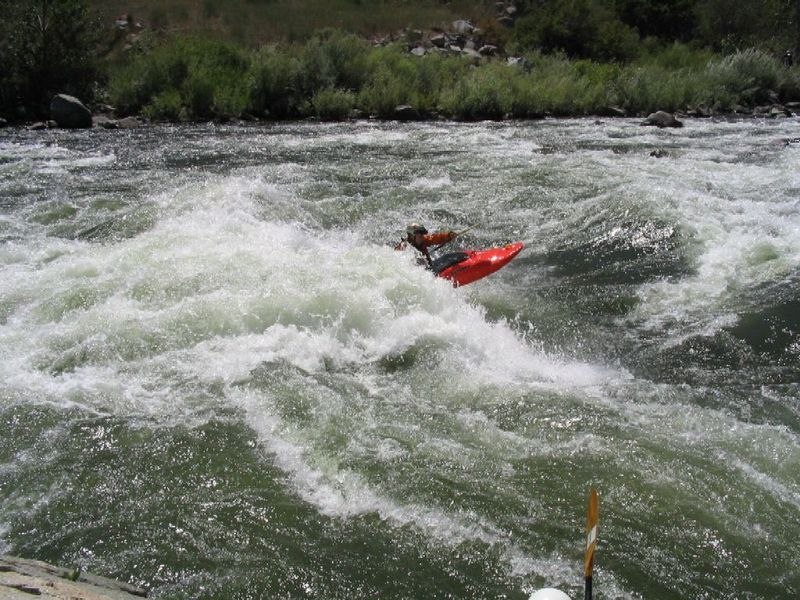
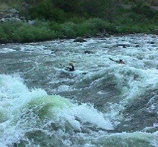
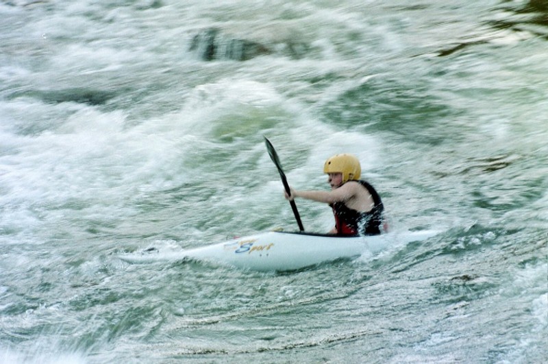
The river again pushes from right to left setting up a very long wave train at normal flows. The first two waves can be large and flip new kayakers. However, they can make great play holes. The run here is typically center to left-center. River right runs over a shallower section of rock and while it may be easier, it can be more risky in the event of a flip. See photo. For those interested in park and play look for the break in the guardrail at Highway 55 mile 66.6. Rapid located at USGS river mile 60.6.
Located at Hwy 55 mile 66.2.
Jul 1, 2016
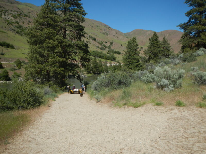
Activity at Beehive Bend Access.
Jul 15, 2004
Scott and his wife help with Idaho River Kids and stage in the eddy as the kids run through.
Tyler (12) in red boat. Troy (9) in blue running with Sean from Cascade Kayak in green. This was Troys first time down in a hardshell.
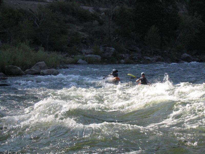
This is a great class II with a short wave-train. These guys are from Idaho River Kids, a USACK training program. There is nothing like seeing a group of kids whooping it up running a river!