Gee Creek
hike up back to parking area
| Difficulty | IV-V |
| Length | 1.7 mi |
| Avg Gradient | 400 fpm |
| Gauge | Tellico River at Tellico Plains, Tn |
| Flow Rate as of 1 hour | 1.43 ftbelow recommended |
| Reach Info Last Updated | November 7, 2006 |
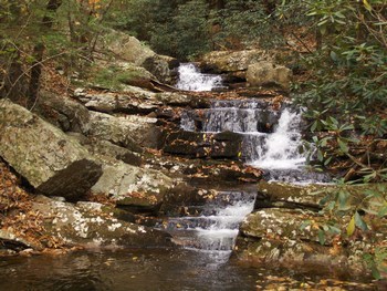
This run is a novelty. It will help soothe an otherwise skunked day in the area. It is very beautiful, but also very short. Hiking a mile yields around 8 quality ledge drops and a bew boulder jumbles. This is all in the first 1/3 of a mile. The last 2/3 of the run back to the car is class 3-4 boogie rapids with some wood to look out for.
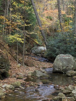
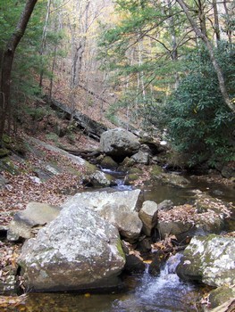
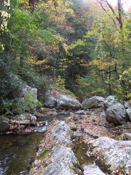
To get to the creek, turn east off of 411 just 1 mile north of the road that goes to Gee Creek Campground. This is Gee Creek road and goes through the impoverished community of Wetmore. After crossing the RR tracks, make a right and stay on this road as it goes around 2 miles around to the takeout for the creek. From here it is a 1 mile hike to the top of the good stuff. Once you have made it to the top of the double boof rapid shown below, there is nothing else above but wood choked class 2-3, though the hike is interesting.
Here is a description from the late Stan Guy:
Gee Creek is VERY Goforth-esque in that it is a hike up run from the takeout, it is REAL TIGHT, and you will always spend more time hiking-in/scouting than you will on the creek cause it is SO fast and the eddy count is slim.
1st known run by Jason Murrell, Winter of 2003.
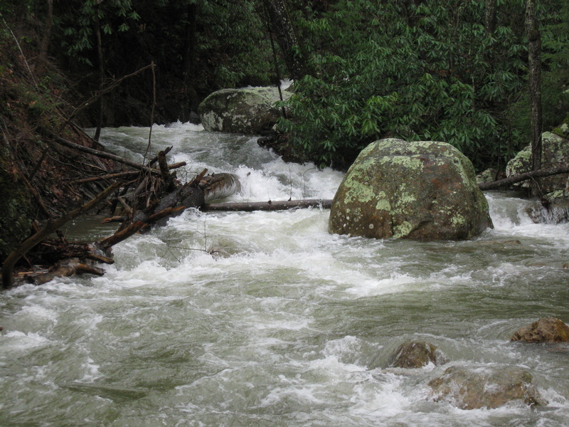
This is a definite IV+/V-(V)run. While it doesn't have a lot of wood, it does have one log jam and another hidden danger of a tunnel in the middle of the run. You won't known it is there at highwater.
On the way up you will want to memorize the run. For the most part you just have to stay in the flow and keep your bow up. Stayin in the main flow is easy enough cause this creek is probably 15-20 FEET wide at its WIDEST point.
The only other eddy on the creek was just above the log-jam and portaging wouldnt be bad at all.
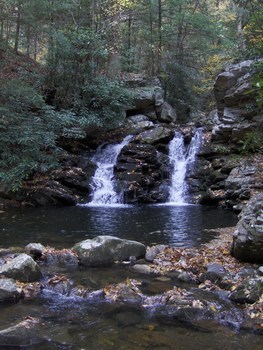
Just above the log-jam eddys is where Gee Creek gets steep and fun. There are five large ledge drops of class 3 to 4+ difficulty in a row with III+ boogie water in between.
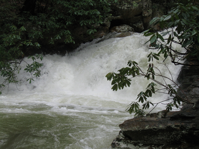
Of these drops the first one is the tallest at 14 fe
...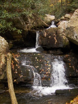
Looks like a double boof right then center. Don't boof the first one too hard, otherwise you will take a hard hit and possibly botch the second one. Make a nose dropping boof.
Scout it, cause it probably has wood. It can be run cleanly on the right though.
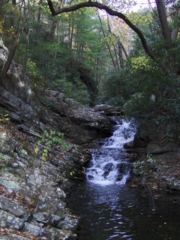
A fun double bedrock slide rapid.
This stuff is blind and pushy, so bring your A game.
Looks like a sweet boof off the middle into a pool that looks to be at least 6-8 feet deep. Good clean drop.
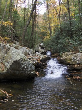
Run this one on the left side of the creek, keeping the bow up.
Nov 26, 2007
i've hiked this creek many, many times and basically its too choked with wood to run safely. given that it rarely gets enough water to run, there are lots of trees that have fallen down into the creek and would bunch up together if it got a big rain event. another note, if you hike up way above where most of these suggestions point to, you have some pretty quality drops and possibly some strainer free boating. the problem is that the trail requires multiple crossings in order to get up more than a mile. personally, this is a run that if nothing else is happening and you have a day to kill then have at it. however, its probably a lot of work for little payback and you could end up stuck in a strainer.