Deschutes
11. Tumalo State Park to Cline Falls State Park
| Difficulty | III |
| Length | 13 mi |
| Avg Gradient | 21 fpm |
| Gauge | Deschutes River Below Bend, or |
| Flow Rate as of 8 hours | 130 cfsbelow recommended |
| Reach Info Last Updated | March 28, 2026 |
SEASON: This reach is dewatered during the summer irrigation season and it gets pretty cold in the
winter here. Sunny days in March and early April are often best.
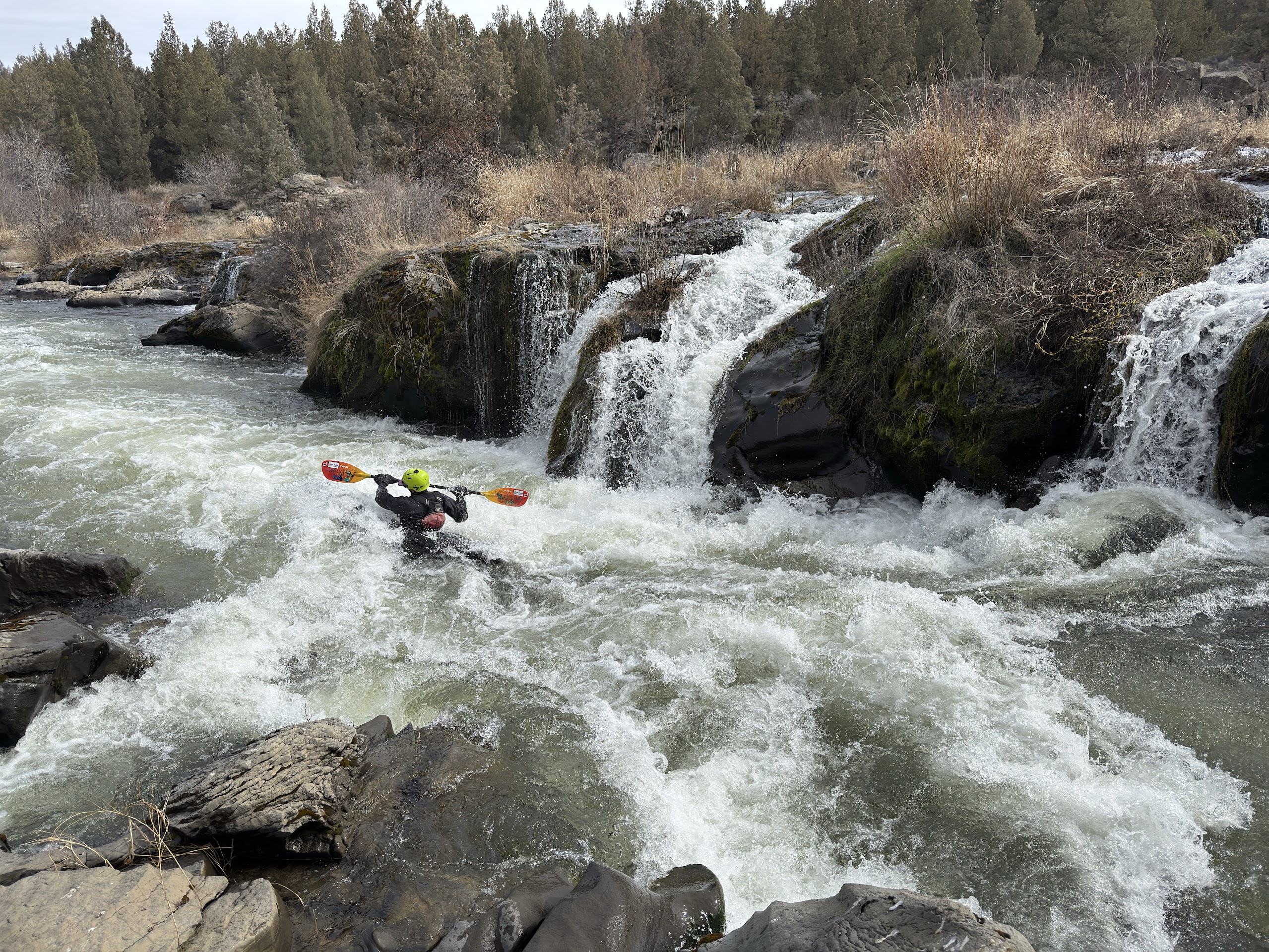
DESCRIPTION: Portage Awbrey Falls on the right approximately halfway through the trip.
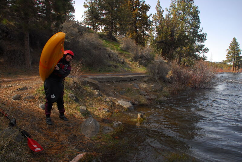
The access is on river left just downstream of the State Park and the highway bridge across the river. It's a short hike up to a pull out and dirt parking area along the highway.
Twin Bridges hiking trail. Can be used to shorten this stretch but still catch the highlights.
Short steep drop with boily water. Soggy Sneakers calls this 'Potholes.'
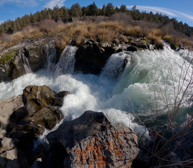
Portage is longer but easier on the right. The river braids into many channels through the tall grass and brush. You can go all the way to shore and make the long walk around the falls, or try and pick your way through the channels.
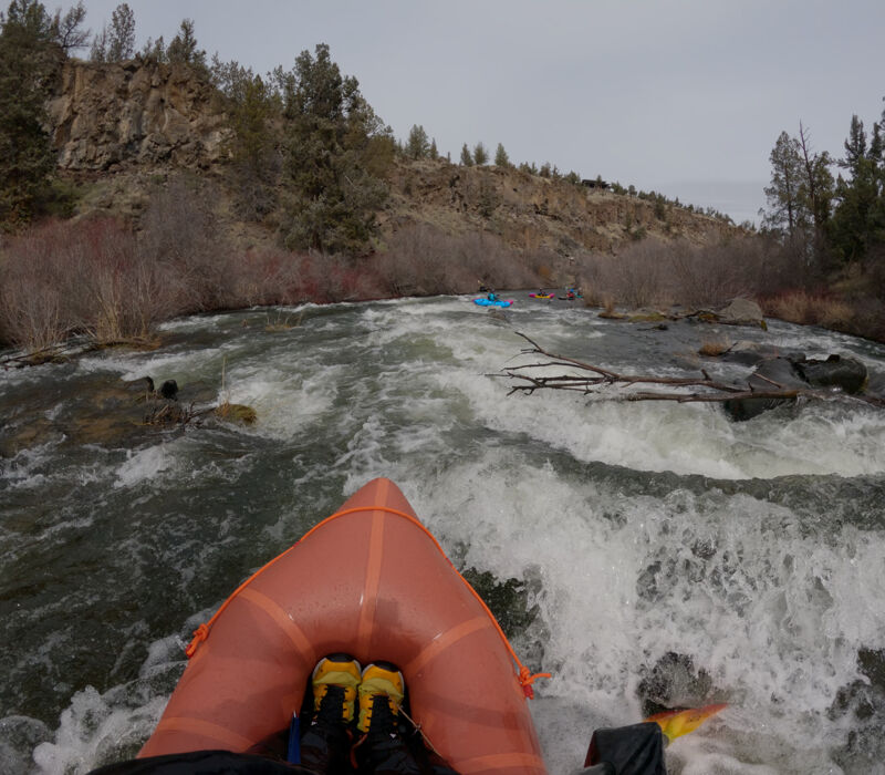
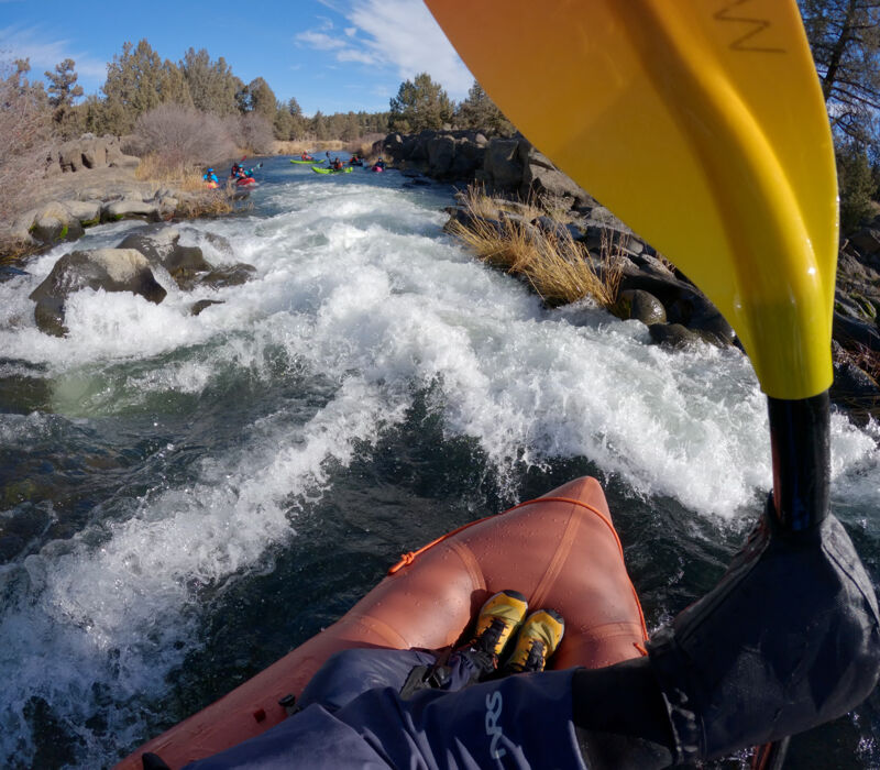
This is the longest rapid on the river, at base winter flows of around ~450cfs it's really 3 or 4 rapids with pools between them and lots of rock dodging. In higher flows it gets faster and more continuous but less rocks are exposed.
Take out on river right above the falls.
Mar 28, 2026
We ran this stretch a few times over the winter/spring of 2025-2026. It's a nice moderate stretch of whitewater that is a click more challenging than the Tetherow or Odin Falls run, but still well below Riverhouse. At base flows it is often very rocky and technical. Occasionally the water can go above 500 on DEBO gauge, but it seems increasingly rare now. 400 is low, 450 is better. Very scenic.