Deschutes
12. Tetherow Crossing Park to Lower Bridge
| Difficulty | II-III(IV) |
| Length | 7.8 mi |
| Avg Gradient | 27 fpm |
| Gauge | Deschutes River Below Bend, or |
| Flow Rate as of 8 hours | 133 cfsbelow recommended |
| Reach Info Last Updated | November 12, 2024 |
SEASON: This reach is dewatered during the summer irrigation season and it gets pretty cold in the winter here. Sunny days in March and early April are often best, but can be run all winter.
DESCRIPTION: Odin Falls (IV+) can be portage on the right. Character of the run is ranch land with a canyon through the second half.
This is a nice class II-III run with a class IV+ portage around Odin Falls which is about 1 mile into the run and can be recognized by the house high on cliff on river left and powerlines. There is a No Trespassing sign and barbed wire, so be careful to stay within the high water mark and not tear your drysuit and gear!
There are not many beginner-intermediate runs near Bend, so this is a nice local option. There are a couple of class III boulder gardens.
Note flows on this section of the Deschutes is higher than the flows at this gauge below Bend because of additional flow coming in from Tumalo.
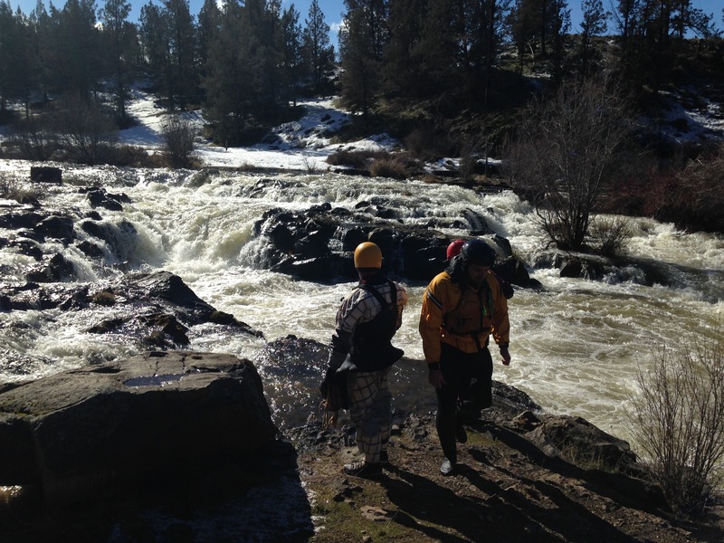
Class IV+ falls. Can portage on right -- beware of barbed wire. Identify portage when you see power lines accross the river(there is also a house river right on the cliff), better to be early for the portage that late, start looking for an eddy on the right .
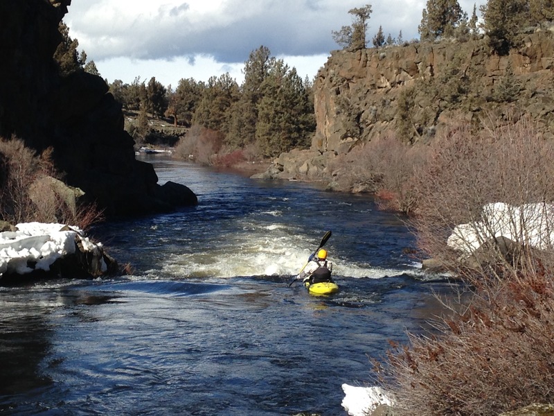
At most flows there is a tongue on the right, small drop, very straight forward wave train once you are on the tongue
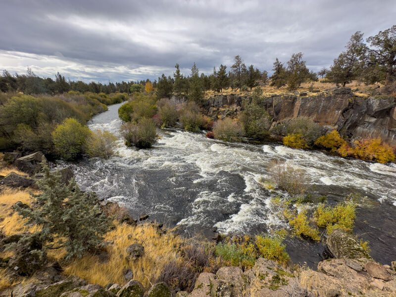
Best line is far left moving center, rock dodging along the way
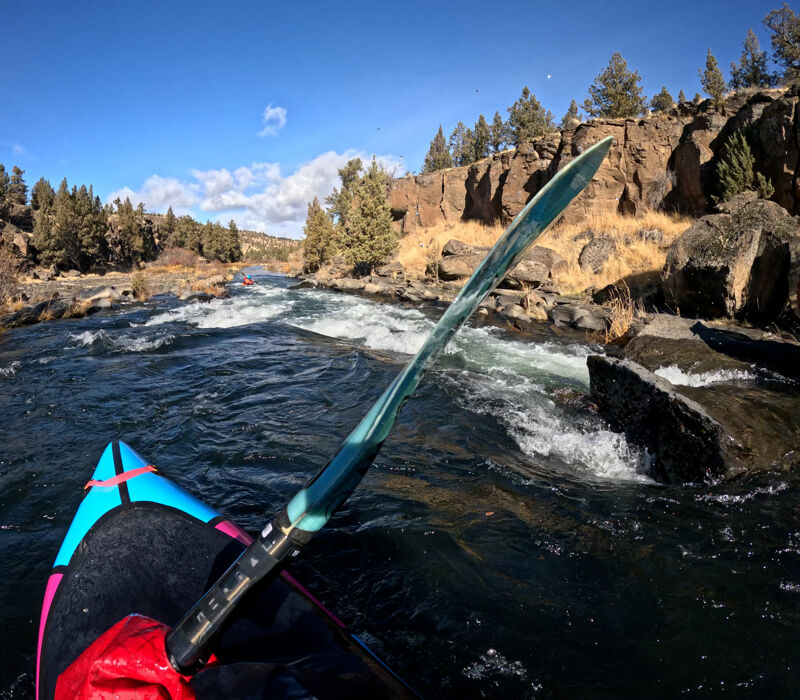
A couple rocks at the top with a fun eddy to catch at the bottom on river right.
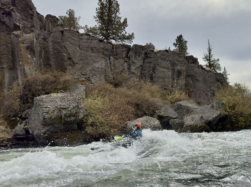
Usually the biggest rapid on the run. At most flows above 450 or so there is a solid boof rock in the middle of the rapid on center/river right
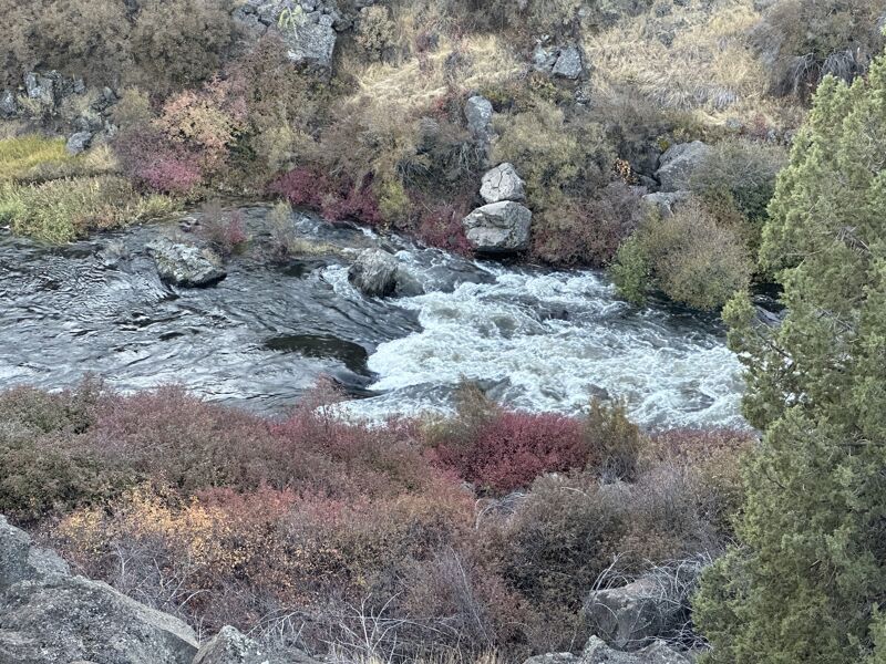
Little pour over at the end of the canyon, at higher flows the right is an autoboof (at low flows the rock is not covered). Left is the preferred line!
This is the last real whitewater, the rest of the canyon is flat water paddle out.
Takeout just passed the bridge on the left, there is a small trail to a parking spot
Nov 11, 2024
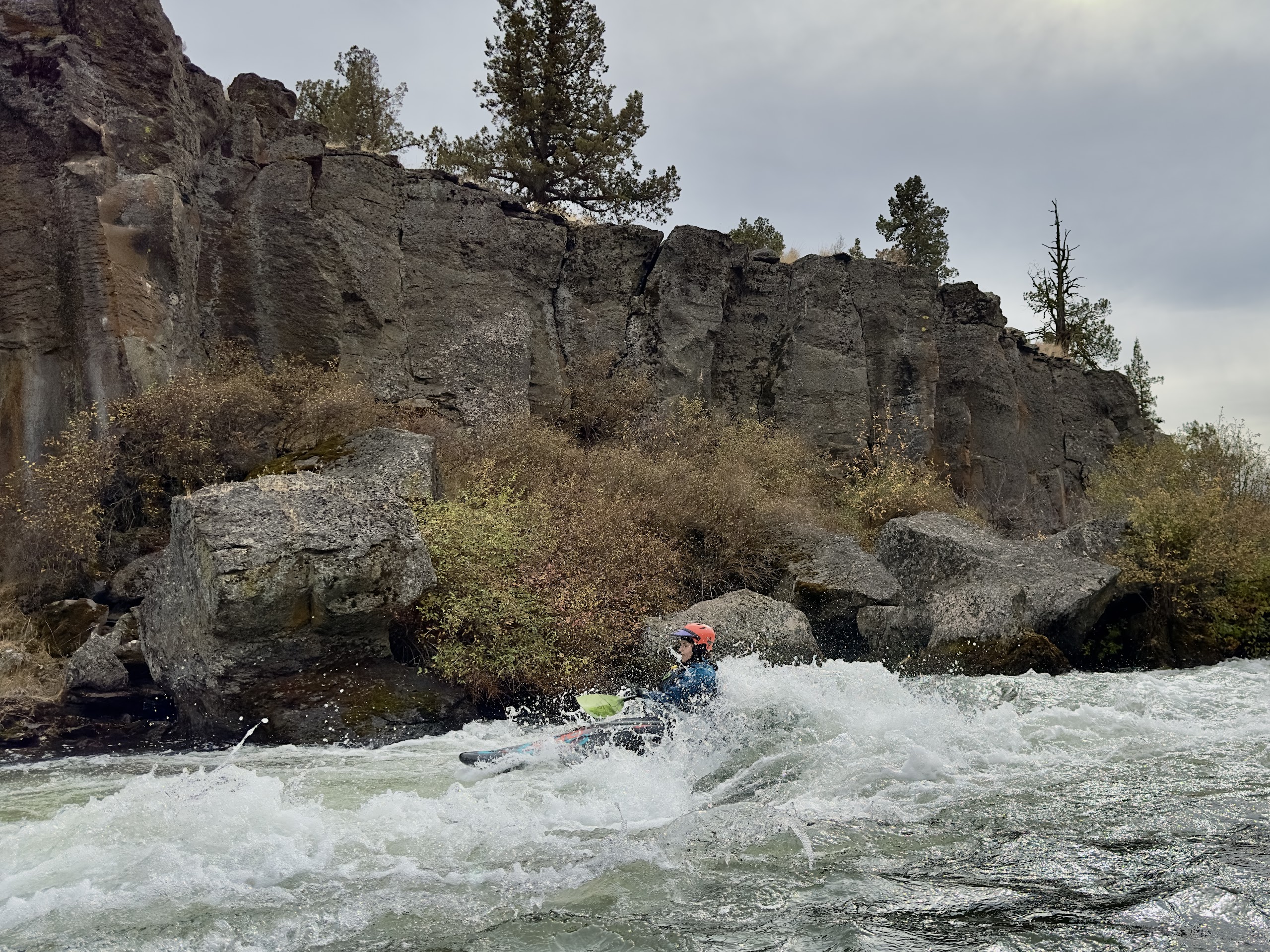
Just adding a few photos from Fall 2024, including a day at 1100 cfs in October. Apparently the diversions were all shut off before flows dropped from Wickiup so the water was fluffy for 2-3 days. We ran it at 600 and again closer to 400. 600 is probably the friendliest level I've done it at, awesome beginner to intermediate run for Central Oregon.
Mar 17, 2024
Expected a more shallow rocky experience at the gauge volume, however the sunny days seemed to add much more water from Tumalo creek than usual. The rock coverage and clean line at Odin made the river feel more more like it was sitting in the low 500's.
Fun day, everything remains read and run. No one in the group opted for odin (combination of new paddlers and playboats), but the line looked clean with adequate coverage of the rocks and a friendly hole (see picture).
The tree branch in the rapid a ways after Odin is still in play, but there are a couple alternate routes around the brush to choose from, just requires moving left once you see it.
The more class III- rapids after odin had plenty of flow to cover the rocks and provide a more authentic class III experience with swirly pushy water. The group noted what seemed like the hardest rapid of the run a ways after odin (recognizable from a flat rocky area on river left and obvious channeled whitewater) and I took a picture looking back upstream for paddlers wanting to evaluate the run to reference. The bottom of the rapid has boily water likely to trip up new paddlers.