Putah Creek
Lake Berryessa (Monticello Dam) to Lake Solano(Lower)

| Difficulty | I-II(III) |
| Length | 4.8 mi |
| Avg Gradient | n/a |
| Gauge | Putah C Nr Winters Ca |
| Flow Rate as of 58 minutes | 599 cfsrunnable |
| Reach Info Last Updated | September 27, 2019 |
Aaron Rough recommends Putah Creek:
'Lower Putah Creek has... lots of wildlife, lots of cool 'creekin' scenery, and several spots for playing etc... Too boot this thing pretty much runs year round! It was only at a flow not runnable (300 cfs and below) for a month or so this year so far..... I just did from the bend (on the map called Strainer Danger) to Lake Solano and it was fantastic! I saw no less than 8 river otters, some of them actually were checking me out and not just swimming off like normal. The waterfowl are in full force but from a cool standpoint. Some cool migratory ducks I haven't ever seen local before, tons of cranes, etc... Coulmn Drop is a true drop right now at this flow and is smooth into a nice wave train. Skin Deep isn't all that shallow and there were some changes in the stream flow but still a clear easy channel to get through. Even this short section was fun and has some fun playspots at ~1600 CFS.' I
Ted Tarver does not recommend this creek for kayaking.
'I worked for four years as a ranger at Lake Solano and would warn anyone trying to run Putah Creek that there are three chutes that have trees across them. Earlier in the year I went with a group who wanted to try it after Cache and on the third one a hard shell got trapped after trying to limbo under the third tree, spun sideways and the kayak was trapped in a strainer under the surface. Luckily he pulled his skirt and was able to get out while trapped underwater. I had to climb out on the limb and divert water flow to pop out the kayak. By fishing access three where the the creek splits there is a limb running completely across the creek where it splits on the left channel. Most people would run the right split. While the water is shallow getting pinned there could be fatal in the right conditions and water flows. I would avoid any runs from fishing access 3 4 and 5. The island right above Lake Solano has some mild whitewater to run and you can keep dragging your
...
On the south side of the Highway 128 bridge is a turn off leading to a large dirt clearing. Trails lead directly to the river or upstream towards the dam.
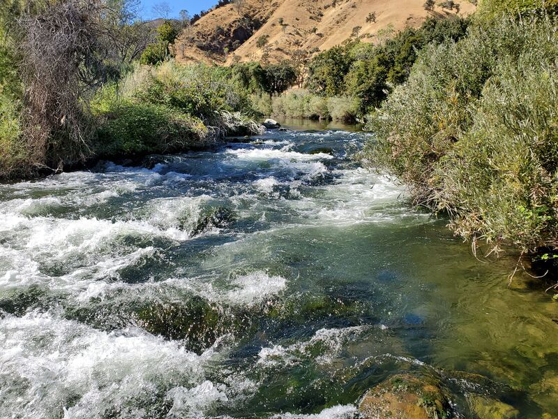
Swiftwater starts just upstream of the bridge. Below the bridge the creek bends right through a line of trees. Pick an opening between the trees. Then the creek bends left and narrows into a whitewater chute.
Below the bridge and past a line of trees growing across the channel, the creek narrows and forms a whitewater chute. Past the chute, the creek widens into a long stretch of flatwater.
The main channel is on the right side of what may be an island. The channel narrows and swiftwater starts immediately.
Whitewater starts at a smaller island. The right side channel appears to be the better one. Trees loom overhead and may block the channel.
Appears to be a fairly large rapid at a left then right turn.
After another stretch of wide flat water, the channel narrows into short distance of swiftwater and whitewater. Possible tree hazards at the end.
There is a public parking area with pit toilets and short access trails to the creek.
The main channel bends sharply right, then gradually left. Swiftwater starts at the right hand bend and continues through the whole left bend. The creek is flat past here to lake Solano.
A left channel appears to be infested with trees, but there is a parking area with river access close by.
Jun 6, 2021
I wouldn't drive 7hrs from Idaho to run this, as someone on Youtube apparently did, but the water is beautiful on a hot day. The rapid with the overhanging branch at the beginning of the only fun section definitely requires a Class III maneuver. I've since been on this stretch with a Class II boater and she swam there – not to mention the entirety of the subsequent rapids.
Mar 28, 2006
Ran it at ~1850 CFS yesterday. Bigger and a little tight under some of the trees that normally are about 6 feet overhead. Lower section had some great play spots.
Feb 4, 2006
Ran it this morning at ~1100 CFS and it was great! Fun boating on a cool section of river.