Broad
US Route 281 to US Route 172
| Difficulty | I-II(III) |
| Length | 5.8 mi |
| Avg Gradient | 9 fpm |
| Gauge | Broad River Above Carlton, Ga |
| Flow Rate as of 57 minutes | 256 cfsbelow recommended |
| Reach Info Last Updated | December 18, 2018 |
The gauge is located in Carlton GA, 18 miles south of Hwy 281. It will take the water 6 to 12 hours to hit the gauge.
2 foot is the minimum for this run. 3-4 foot is optimal for beginners. Levels above 6 foot the river takes on a totally different character and is better suited for more advanced paddlers.
Around 7 or 8 feet the outpost start shutting down trips, and the surfing starts to get nice!
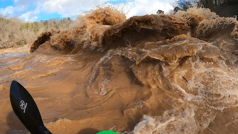
At levels above 15 feet or so, large surf waves and holes abound, some have good eddies, many are caught on the fly. Roostertail Rapid at the end is an incredible sight and fairly intimidating with large standing waves and holes. At these levels, come with a bombproof roll or you will be looking for your boat in Augusta...(Alex Harvey, 2003)
The river has been run upwards of 20 feet or 17,000 cfs.
There are two outfitters available on this run. One is located at the put-in and the other is located at the take-out.
The Broad River Outpost is located at the put-in. They have a large parking area, and charge $5 for parking and shuttle. According to the BRO website, there are 7 rapids in this stretch. At flood stage, Roostertail Rapid makes a huge 10 foot tall surfing wave.
A note from the BRO Owners:
...'I own and operate the Broad River Outpost on Hwy. On our gage at the put-in, we tried to 'mimic' the USGS gage' at Carlton. It's similar at low levels but gets progressively lower at the high water levels.
In the years past we had a painted gage on the bridge itself. Like our new gage, the Bridge Gage has a proportionally lower reading than the gage at the 72 bridge . . . wider channel, steep gradient, etc ???? We should do a mathematical comparison / curve . . . maybe one day.'
The following is an approx comparison of the gage heights.
-2 foot on the bridge is about 2 foot on the usgs and our new gage at the put-in.
2.5 feet on the bridge is 64' on our new gage which is approx 6'.
This is the put-in for The Sandbar outfitters ,it cuts out all the flatwater at the beginning of this run and puts you at the top of the first ledge.
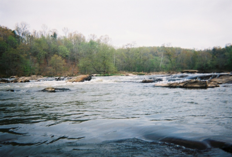
Large shoal with a small island in the middle. Last checked there were the remains of a coleman canoe wrapped on a rock at the bottom left.At low water run left side of island.4ft and above there are lines everywhere with a nice wave train at the end.
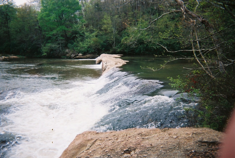
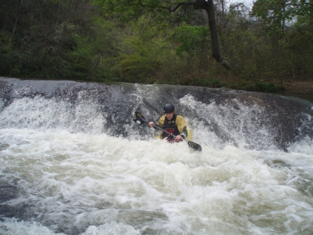
A five foot tall vertical ledge is on the right side of the island. There are 3 lines you can take.Far right has a piton rock so hug far right bank as much as you can.Center line opens up around 4 feet, make sure you have speed because the lip is very shallow.At levels over 6 feet a keeper hole developes on the center line.The left line is a fun slide . On the left side of the island are some class 2 shoals. There is an easy to avoid undercut in this rapid.
Skull Shoal comes in below the waterfall on the right.
Roostertail is a riverwide broken ledge shoal. Its best run on the right,punch the wave and watch out for the pillowing rock. You will be able to see the Hwy 172 bridge below.
There is another ledge under the bridge. At some levels there is surfing on the left.Avoid the rock island with the tree there is rebar here from an old bridge.
Look for the steps on river right, a little past the island.
Right at the Sandbar take out is a nice long sloping ledge. At low levels run river right then take-out on the left at the Sandbar outfitters. At higher levels lines open up everywhere.
Apr 8, 2022
Fairly fun section. The more water the better. I've only been out as high as 8ft though. There's really only 4 main rapids and they start getting a little pushy at those levels. I'd say 4-5ft would be a good time for almost anyone. Ran this section a bunch in sit on tops as well when levels are below 6ft. 5ft+ it's probably best to have some experience in kayaking.
Apr 20, 2017
Ran this river Easter weekend 4/15/2017 and it was beautiful . As long as we ran it left to right and stayed out of the middle the water was sufficient. Water height was 2.56ft and it was not cold at all. The turtles were everywhere and the birds and flowers painted the banks. I love this river. If the water level was at 3ft some of the rapids might be closer to a 3 but at 2.5 ft they were a 2+.
Mar 28, 2010
Wow what a great day on the river. Hwy 281 - Hwy 172. River level on Carlton gauge was 5.4 which is almost optimum as nothing washed out but no bones. I think 6 ft is the best level until you get up to 10ft + Beautiful weather water clarity excellent and not another sole seen the entire day. What more could ya ask for. Accolades to the guys @ BRO for the shuttle and waiting for late players @ the takeout.
Apr 1, 2007
This rapid looks fairly easy but is very dangerous at higher levels . The whole ledge is undercut and actually forms a cave under this waterfall and at higher levels a keeper hole feeds into it .At this level it is too shallow at the lip to run . Hit it between 4 and 7 feet .
Mar 7, 2006
I would recomend using one of the outfitters shuttle service or park at the hwy-172 bridge.I left my Jeep at the old takeout today and it got broken into, my window got smashed and all my cd's stolen.The police said that they have been having problems there lately.
Nov 4, 2004
Hey everyone this is where I learned to first paddle whitewater of any kind. I have ran it so boney I wanted to cuss all day, but then again I have ran it at levels between 4 and 8ft and the Broad takes on a different character. Levels above 8ft. to 12ft get ready for some almost river wide holes, and at these levels the big wave at rooster tail will be a definite hoot, but this only happens after close hurricanes or days and days of continuos rains. Call micheal at the B.R.Outpost and ask how the river is running on those particular weather events.