Tana
Gravel Bar to Chitina River to Copper River
| Difficulty | IV |
| Length | 99 mi |
| Avg Gradient | 14 fpm |
| Reach Info Last Updated | September 23, 2022 |
Put-In Typically, parties fly from the Chitina airport into a gravel bar strip on river right about 8 miles south of the entrance to the canyon, using either Wrangell Mountain Air, Ultima Thule, or McCarthy Air Alaska. In addition, it is possible to land a float plane on a channel of the West Fork of the Tana, approximately 18 miles from the entrance to the canyon.
Take-Out The standard take-out is on the Copper River at O'Brien Creek on river right, which is 75 miles downstream of the Tana/Chitina confluence. The Chitina joins the Copper river 2.6 miles upstream of the O'Brien Creek take out. The Copper River comes in from the right and the confluence is notorious for high winds and huge unpredictable boils. It is recommended that boaters be prepared for trouble as they enter this confluence. Flips and swims are a dangerous possibility in the turbulent mixing currents. Wear your drysuits.
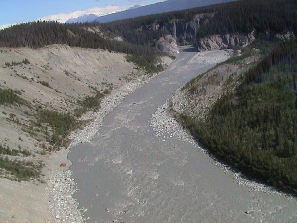
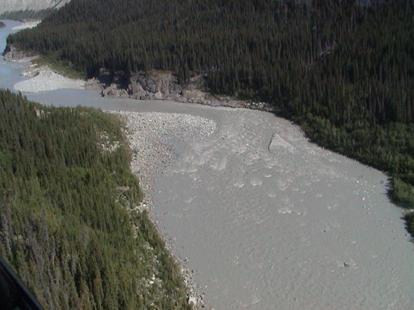
Description The Tana River is a tributary of the Chitina River, flowing roughly 36 miles from the Tana Glacier spilling off the Bagley Ice Field north to the confluence with the Chitina River. Whitewater on the Tana River is a source of a great deal of conversation amongst Alaska boaters. Tragic deaths early on earned the Tana River canyon a reputation that is a bit overstated. However, this is about as cold and remote as a North American whitewater river can be, and deserves a great deal of respect.
From the put-in strip, a fast float gains the entrance to the canyon, marked by a large dune set encroaching on a spruce forest on river left, above a huge shallow eddy. Camping below the dunes back in the protected trees is good for wind, bad for bugs, and great for hiking up the dune
...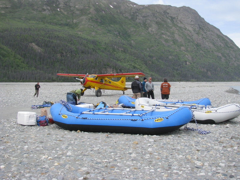
With the very fast current, boaters on a long expedition will want to launch as far upstream as possible. The pilots will land on which ever gravel bar they think is safest at the time.

There are few campsites in this river that will be free of strong winds. This location has areas protected by a high ridge. The topo map indicates that there may be a cabin located a short ways downstream of the landing strip.
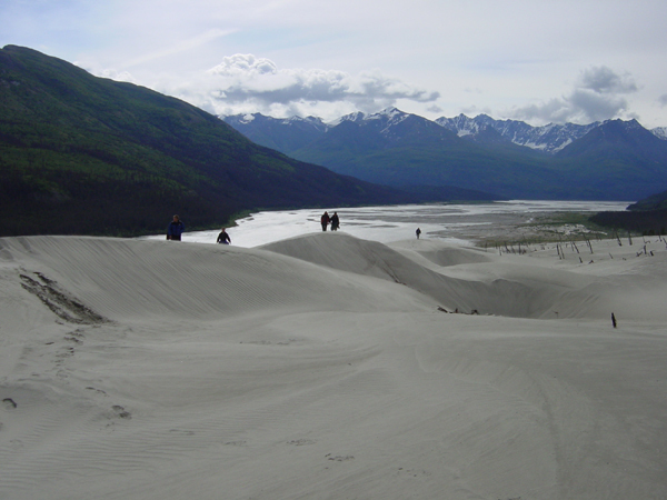
A large expanse of sand dunes on river left signal the entrance to the canyon.
Granitic Creek entering on river left signals the beginning of the first notable rapid, a long, class III+ big water style drop. The entrance consists of hole dodging down a large wave train, and is known as Onramp. The river than takes a right hand turn, and enters the meat of the rapid, known as Freeway. The river right side is a shallow rock and gravel gradient drop, and the outside wall is a steep bank. The top of the drop is a straightforward wave train down the middle right, avoiding a big hole on the left that toys with 18' rafts . The middle of the drop contains a large rock that creates a huge hole at high water, and a pretty convincing barrier to travel at low to medium flows. Consensus seems to be cheat right as much as possible, then pull to the middle below the barrier rocks, and ride the wave train out.
After a long, fast wave train, the river pushes into a river right wall. The reflection waves coming off the wall make for chaotic water, and have caused both good kayakers and rafters a bit of trouble in the past. The general plan seems to be pull as hard away from that wall as possible. Note that it is very possible to ram this wall with a lot of force.
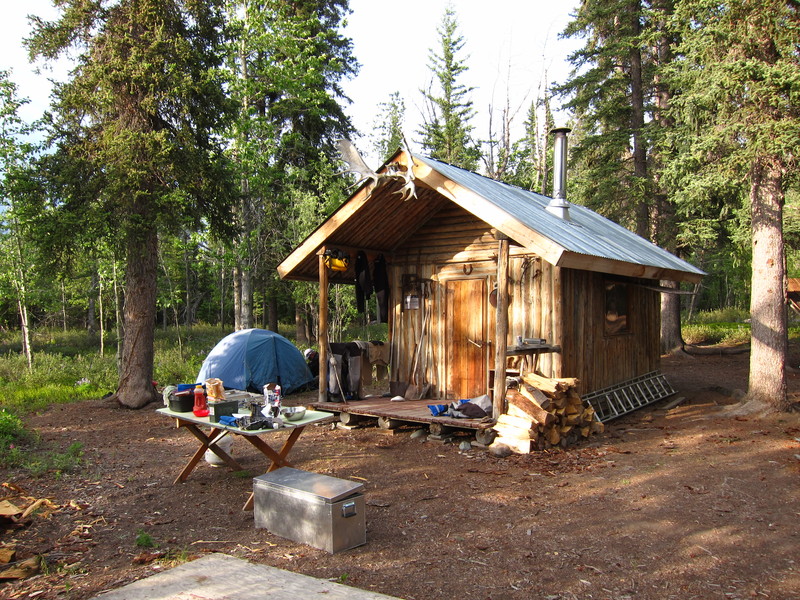
These cabins are available to the public on a first come first served basis. They are accessible by river and by a small airstrip. They are 3 miles downstream from the Chitina confluence on river right in the woods at the downstream end of a large gravel bar.
'The winds at the Copper river confluence and the strength of the river can catch you off guard. The locals said that the wind at the confluence is a pretty standard phenomena at the confluence. In addition to the wind, with the increase in volume comes some serious powerful boils in certain spots. One in particular was on the corner RR of the Copper confluence, I'm sure there tons. Because the weather was incredible, and the river was pretty calm the last few days we were not in our drysuits, next we will be!. WARNING: Boils at the Copper Confluence could easily flip a 16 foot boat and if one is not in their drysuits, they would assureadly be in a fight for their life because of the strength, and temperature of the water.' (Moenkopi, 2011)
O'Brien Creek on river right is the standard take out for trips down the Tana and Chitina. This take out is 2.6 miles below the Copper River confluence.
Sep 20, 2011
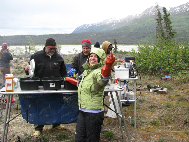
Wrangell Mountain Air drops us safely on the Gravel Bar with big winds, Another day at the office
Sep 20, 2011
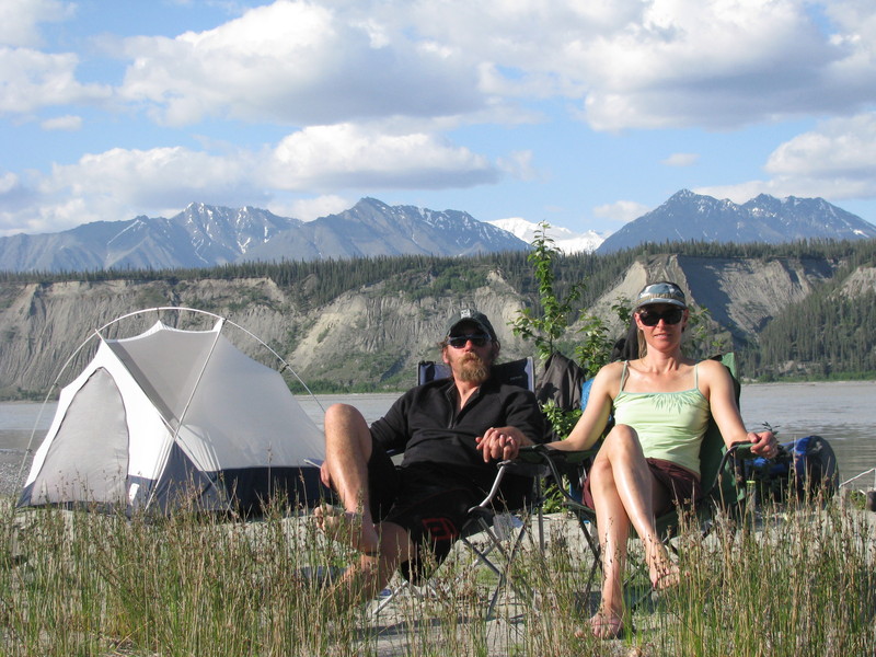
Nik from McCarthy River Tours and Outfitters suggested camping before the dune camp RL. Typical Glacier Winds Rip downriver after takeoff pretty steady all day and night. Behind a ridge on River Left we were windless at camp while the boats on the water had a constant wind. We definitely rowshambowed for beers at the boat:) But the camping was a calm night. Thanks for the tip Nik, and the brand new gear!! raftthewrangells.com