Tuolumne
5. Below La Grange
| Difficulty | I |
| Length | 19.3 mi |
| Avg Gradient | n/a |
| Gauge | Tuolumne R Bl Lagrange Dam Nr Lagrange Ca |
| Flow Rate as of 33 minutes | 193 cfsrunnable |
| Reach Info Last Updated | June 9, 2022 |
This valley section of the Tuolumne is scenic and an excellent beginner run. There is a salmon run in the fall season. The river is primarily flat, but there are many riffles, narrow channels and sharp turns. Those with even modest experience and caution will have an enjoyable time and want to return again and again.
The river does require minor maneuvering skill to avoid the occasional obstacle, but it is a very forgiving stretch of water.There are no drops or abrupt changes except for the man-made debris pile in the center of the river which occurs a few hundred yards below the La Grange Dam.
From La Grange down to Basso bridge boat ramp, the river is generally wide with numerous small riffles and even a small ledge drop. Turns are all fairly gradual.
From Basso Bridge to Turlock Lake State Park, the river seems to alternate between flat wide slow water, and narrow channels that are fast and twisty. These twisty, fast channels are great fun for those with good boat control. Beginners, on the other hand, can find themselves swept into the bushes and tipped over.
Getting there:
From Highway 99 in Modesto, take Yosemite Blvd (highway 132) for 32 miles to La Grange. From the south take highway 99 to Merced, then follow J 59 north, 30 miles to La Grange.
Put-in: Old La Grange Bridge. From the junction of J59 (La Grange Rd.) and Yosemite Blvd, travel 1/2 mile east on Yosemite blvd into La Grange, then turn left onto Old La Grange Bridge road. There is plenty of space to park in about 200 yards.
Links:
Fish restoration information.
...
You can park at either end of the bridge, but the south side is a bit easier to find and a shorter drive. Drive into La Grange and turn onto Old La Grange Bridge Road. The bridge is very close and there is a fair amount of parking space. The carry down to the river is a bit steep but fairly short.
There is a large parking area with picnic tables, boat ramp, and grassy areas at this park next to Basso bridge. Turn off of Highway 132 just east of the bridge onto Lake Road. Immedeately turn into the park.
The river narrows, picks up quite a bit of speed and heads straight at a tall bluff wall festooned with hanging ferns. The current makes a sharp right turn and runs along the wall. Several rocks have fallen off the wall, protrude from the water and create obstacles to be avoided.
The campgrounds down by the river are very pretty and provide a good take-out or river access point. Talk to park personel about where to leave vehicles.
This looks to be a river access for power boats.
Nov 8, 2006
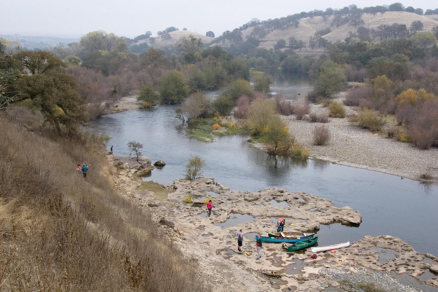
This interesting rock shelf seemed like a good place to stop and walk around. This picture is looking upstream and shows the character of the first few miles of river below La Grange.
From this vantage point I could also see Basso Bridge just a few hundred yards further downstream.
Shortly before Turlock Lake campgrounds, there is a high bluff on river left. Parts of this bluff are thick with beautiful ferns.
Just upstream of this picture, the channel runs straight at the cliff, then turns sharply to the right, past a large rock sitting out from the cliff. Paddlers without good control, such as Christopher and Phil, can broach on this rock. They did not tip over, and were able to push themselves off and around, but it took some thinking and struggle.
The weeping wall is the last tricky spot before taking out at Turlock Lake campgrounds.
Nov 27, 2004
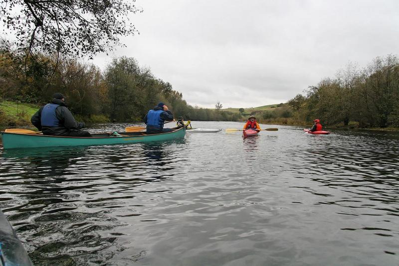
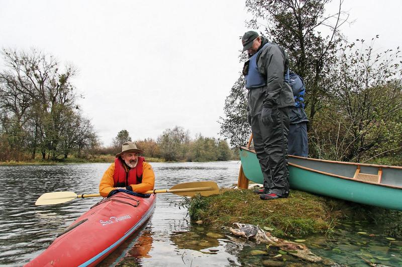
A group of Fresno boaters enjoying a rainy, windy, cold day of looking at dead salmon. A short paddle from La Grange to the Basso boat ramp was just right.