Rogue
4. Grants Pass to Grave Creek(Rogue Day Section)
| Difficulty | II |
| Length | 34.7 mi |
| Avg Gradient | 8 fpm |
| Gauge | Rogue River at Grants Pass, or |
| Flow Rate as of 32 minutes | 1170 cfsrunnable |
| Reach Info Last Updated | May 7, 2025 |
Grants Pass to Hog Creek
This 19-mile stretch begins in Grants Pass, where the river flows through town. This section is more open and a less scenic as it passes by riverside development and agricultural land for the first few miles. Jet boat tours that run down to Hellgate Canyon run their trips through this section.
Hog Creek to Graves Creek
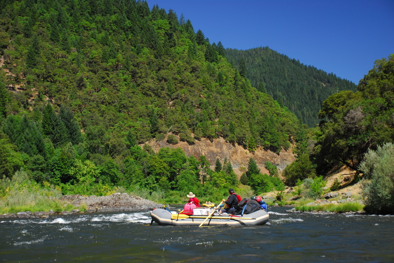
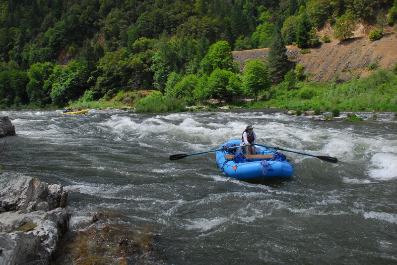
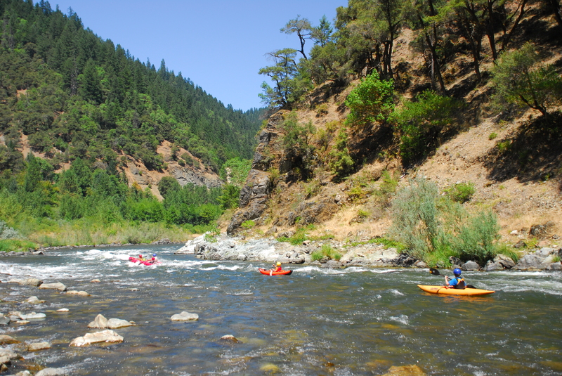
This 14.5-mile section of the Rogue offers great options for a day trip with some fun rapids, nice beaches, rock ledges for jumping into the river, and even a riverside restaurant where you can grab a cold drink or a full meal. With several nice river camps along the way, you could enjoy a fun overnight trip on this stretch or add it as an extra day for multi-day trips continuing downstream. This segment is also an exceptional instructional reach. With warm water, consistent flows through the summer, and plenty of good features to practice on there is hardly a better place to learn to kayak in the entire Pacific Northwest.
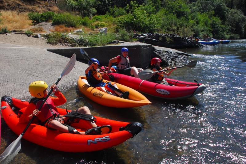
This section begins at the Hog Creek Boat Ramp which can be a bustle of activity on summer weekends with guided trips, experienced paddlers, young people of questionable experience out on a party float, and the occasional fleet of jet boats bringing tourists down for a look at Hellgate Canyon.
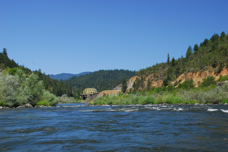
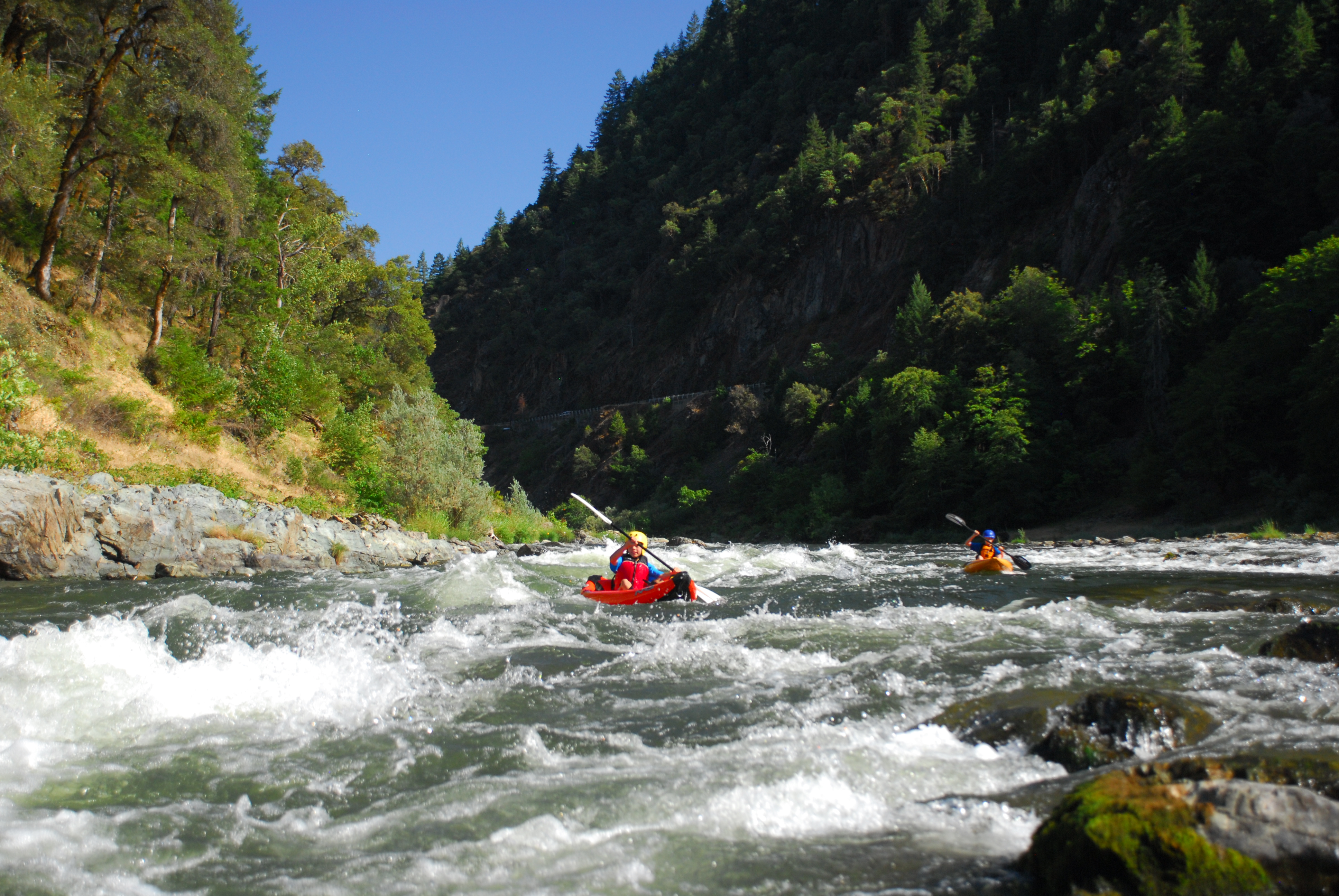
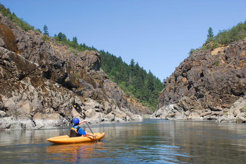
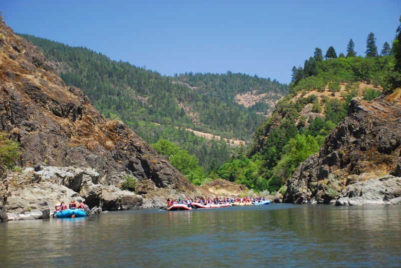
The current is swift at the put-in as the river heads into Hog Creek Rapid, an easy riffle just before the entrance to Hellgate Canyon. The walls rise up dramatically before you as you enter Hellgate Canyon and if it looks familiar, you may recognize it as the site of the jump scene from Butch Cassidy and the Sundance Kid. The canyon is short so take time to enjoy it. You will find some ledges that are good fun for jumping into the river. For many years the canyon was considered as a dam site but the river is now fully protected from hydropower development under the Wild and Scenic Rivers Act.
Leaving the canyon, you will arrive at class II+ Dunn Rapid where the
...
This access is on river left downstream of the Highway 199 Bridge in Grants Pass. Located at USGS River Mile 101.9. Parking (including dedicated trailer parking) and toilet facilities are available in Baker Park.

Wild and Scenic River corridor boundary at USGS River Mile 95.0.
Located at USGS River Mile 88.2.
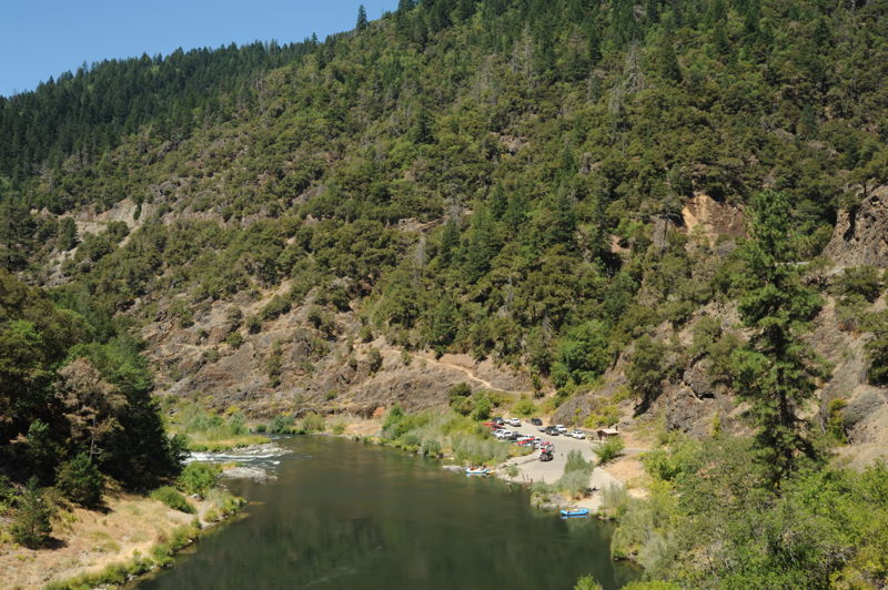
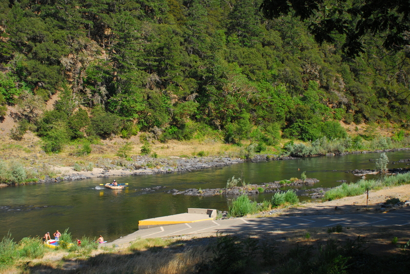
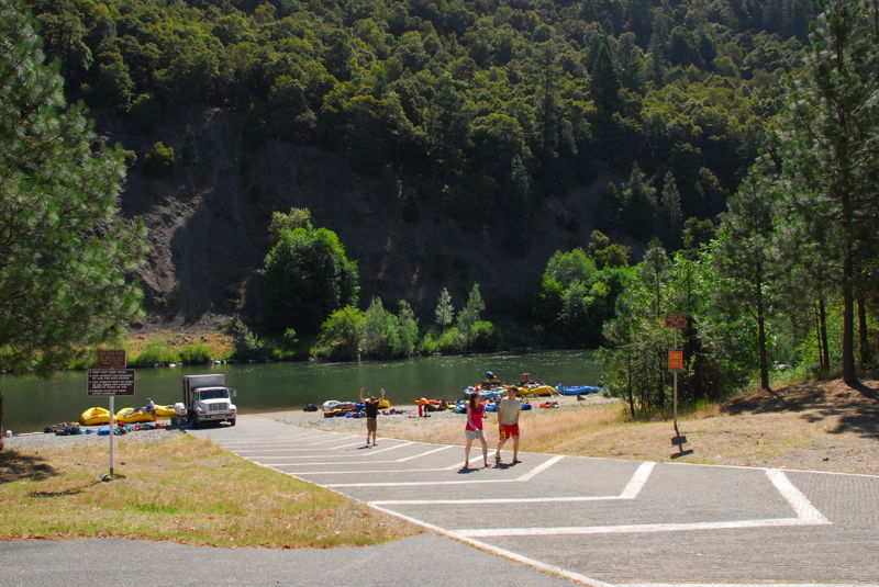
Located at Galice Road mile 4.8 (river mile 83.0). This is a primary launch point for day trips on the Rogue River and on hot summer weekends this site can be quite a scene. It is just upstream of the scenic Hellgate Canyon. The launch area has two boat ramps at river level and short-term parking for staging. Once you are done rigging, run your car up to the upper parking lot.
Once considered as a dam site, Hellgate Canyon is a short but dramatic canyon on this section of teh river. Located at USGS River Mile 82.6. You can stop at the overlook at Galice Road mile 5.5 but there is no access to the river from this point high above the canyon.
Located at Galice Road mile 6.2 (USGS River Mile 81.1). Where the Galice Road crosses the Rogue River at Hellgate Bridge, there are pull-outs upstream river right and downstream river left and right of the bridge. You will not find formal access for boaters, but the area is popular for day use during the summer as there are several small beaches and some good rocks for jumping into the river.
Located at Galice Road mile 7.0. This is a Josephine County Park that has a boat ramp and is a bit more manicured than other camping areas along the river. It is popular with the RV crowd and the sites are packed in tight.
Gorge located at USGS River Mile 79.8.
Located at Galice Road mile 9.8. The Ennis Riffle recreation site has a boat ramp and is managed by the BLM as a dispersed recreation site where overnight camping is allowed. There are toilet facilities but no drinking water available. Several simple riverside camps are dispersed along an approximately half mile stretch of river. If you are coming in late at night, you can almost always find a spot to throw down a tent or park a van here.
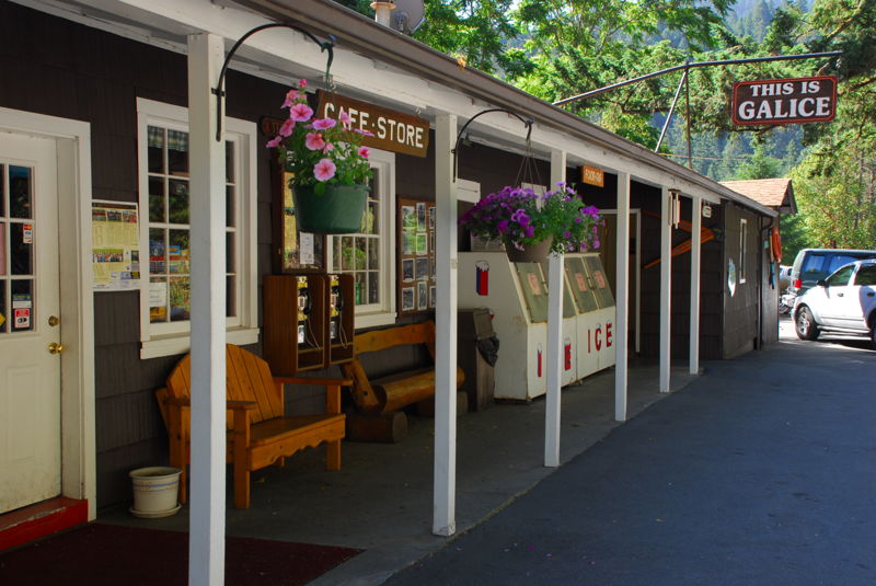
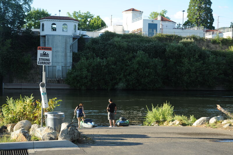
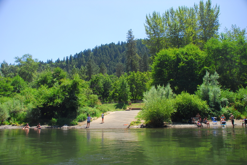
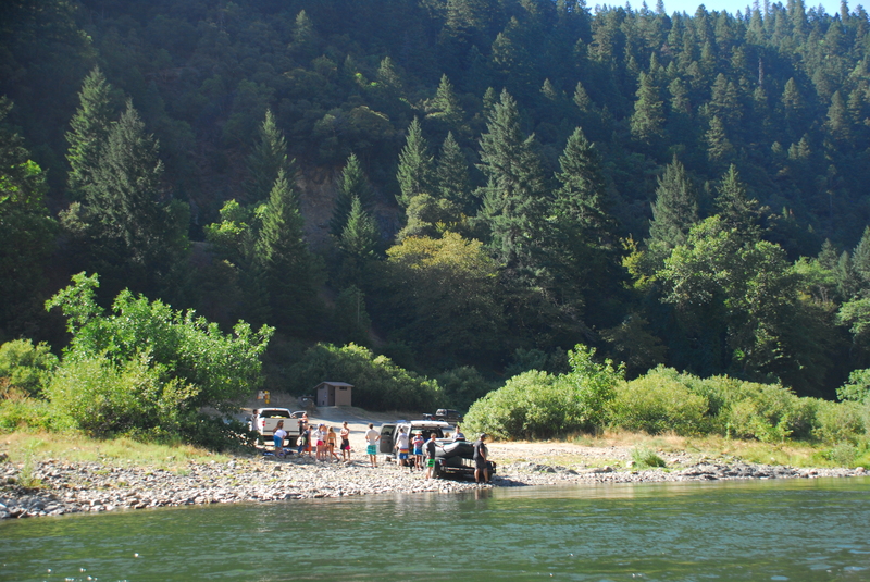
Located at Galice Road mile 11.5. The Galice Resort was a great place to get a burger or ice cream. Prior to the June 2021 fire that destroyed the main building, the outdoor patio was a wonderful summer destination where you could catch live music on weekends. The store had a few basic odds and ends: sunscreen, maps, and cold drinks. Simple cabins were not damaged in the fire and are still available for rent. The boat ramp was the standard take-out for those renting rafts from the Galice Resort so things would get a little crowded during hot summer days.
Located at Galice Road mile 14.0. This is a river access that is not used as extensively as other areas along the river. It is a good option if you are looking to avoid the crowded ramp at Almeda. It is adjacent to the Smullin Ranger Station, and river access is good via a paved road but the ramp itself is gravel.
Located at Galice Road mile 14.8. This county park is a popular spot for groups to camp the night before a trip with a paved ramp, long rigging beach, water, and camping. Some groups launch straight from here as an alternate start point for trips on the multi-day wild stretch of the Wild and Scenic Rogue that begins a few miles downstream at Grave Creek. You can rig your boats the night before, camp here, head up to the Smullin Ranger Station first thing in the morning to check in with the ranger, and be on your way right after breakfast. The campground can fill up on summer weekends and is patrolled by a camp host so reservations are recommended.
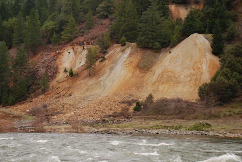
Immediately downstrem of the access point at Almeda County Park where many trips stage the night before. Evidence of the Almeda Mine that continues to bleed contamination from mining is visible on river right. Located at USGS River Mile 72.3.
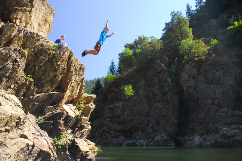
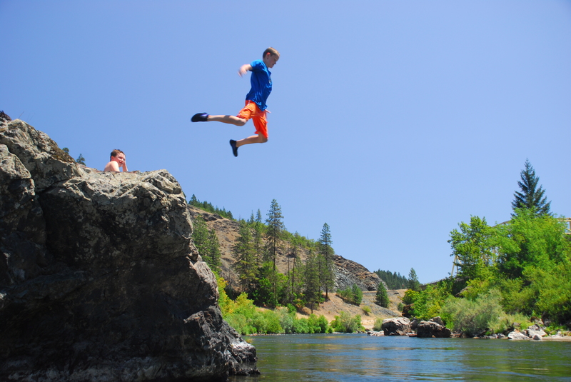
One of the best places to jump off the rocks into the Rogue River. Located on river right at USGS River Mile 71.4.
Look out for the rock that sticks out at lower flows at the end of this rapid. Unsuspecting rafters have been known to get stuck on it. Located at USGS River Mile 71.0.
Located at Galice Road mile 16.8. This is a dispersed site that is used as an alternate access for the Rogue River. It has good beach access to the river but no formal ramp. It is sometimes used by groups seeking to avoid the Almeda or Grave Creek that tend to be busier.
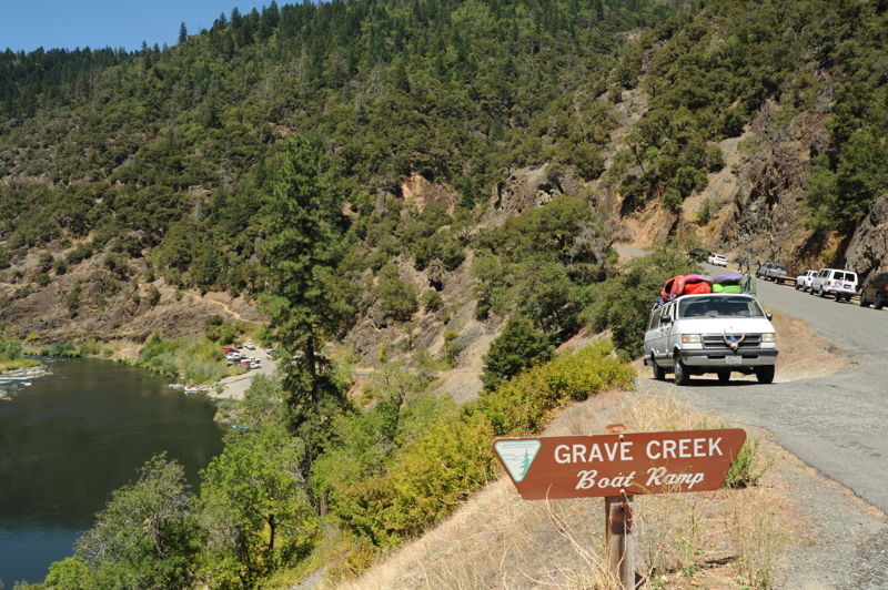
Located at Galice Road mile 18.7 (river mile 68.5). The road along the river ends here (it continues on up Grave Creek) and from this point the river enters the permitted wild stretch. The take-out is on river right immediately downstream of the Galice Road Bridge. There are no facilities for overnight camping at this site but a good paved ramp is available making access to the river easy.
Jun 20, 2023
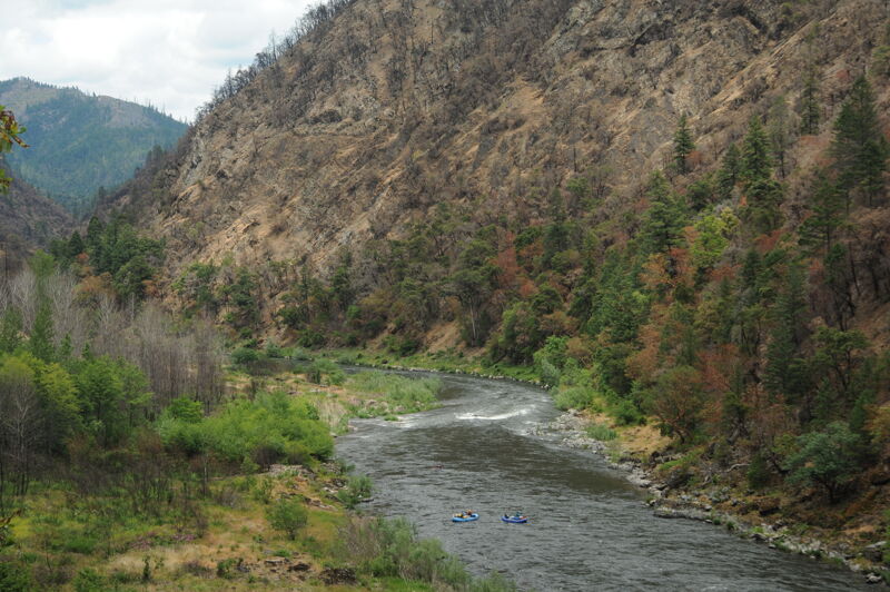
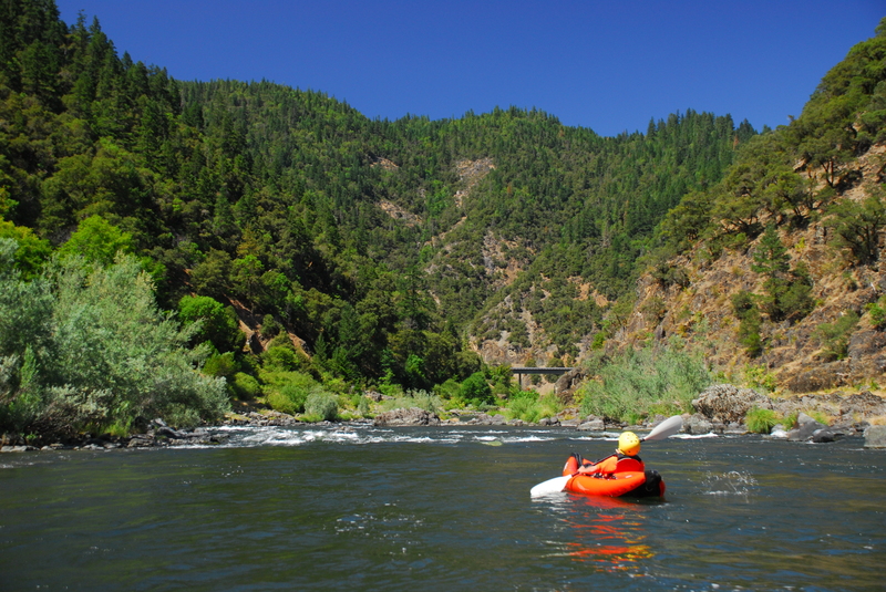
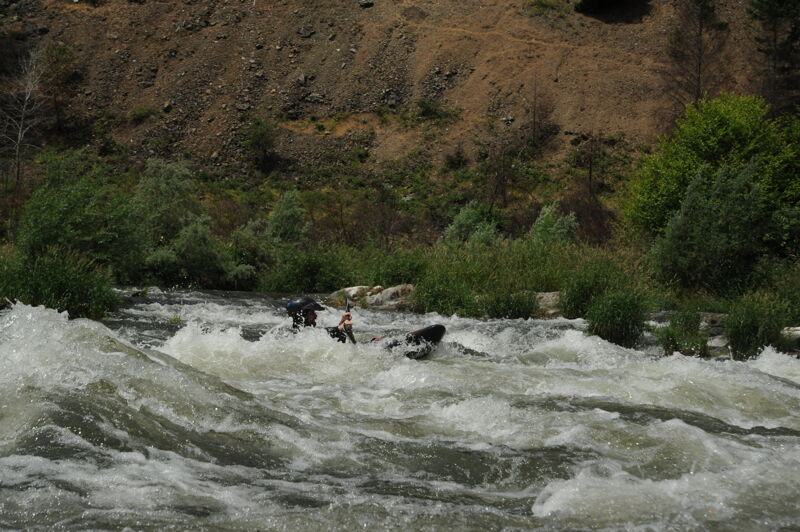
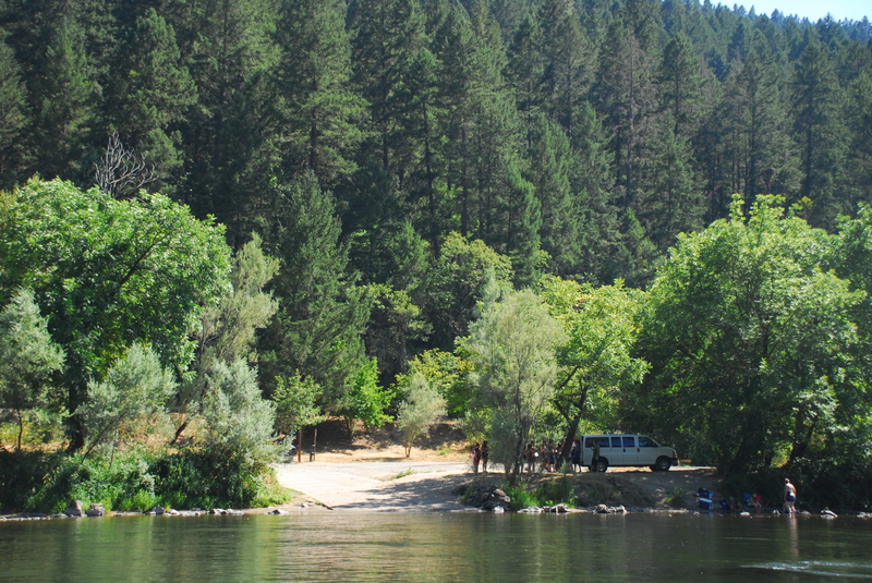
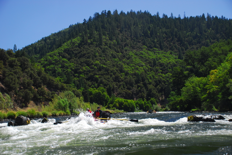
American Whitewater hosts an annual trip on the Rogue River that provides an opportunity for participants to learn more about our work in the region. I joined the first morning on the section from Almeda to Grave Creek in a packraft and stayed through lunch to present on our work. I then hiked out along the closed road from Grave Creek back to Almeda which took about an hour for the four mile hike. The rest of the group continued on downstream for a four-day trip. It is possible to drive down to Grave Creek and access the river (if driving in from the north) but there are barricades placed across the road at the bridge. Similarly, there are concrete barricades on the road just downstream of Almeda. Hiking or biking along the road are currently feasible. BLM anticipates this road closure will remain in place through the year as they address slope instability caused by the recent wildfire and implement mitigation measures to protect public safety. The road itself is in good condition.
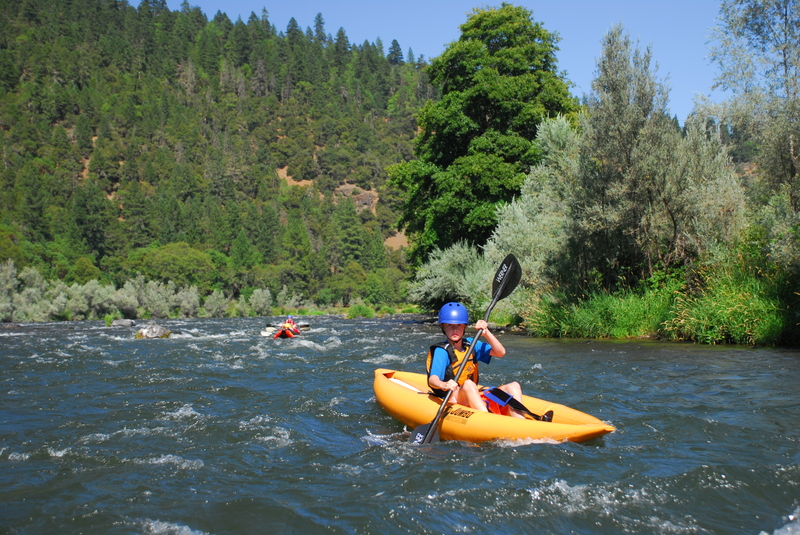
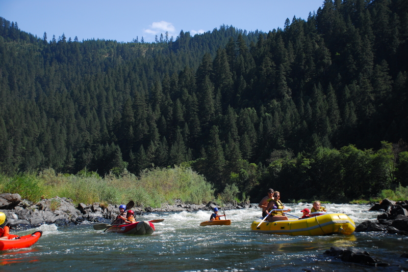
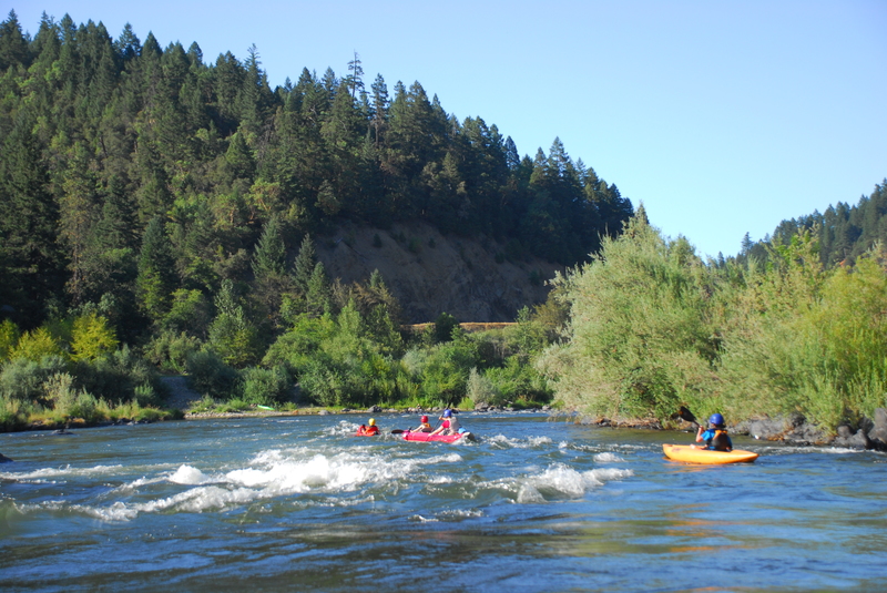
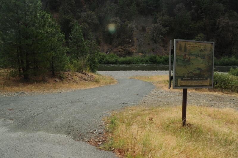
The photos are of the segment from Almeda to Grave Creek.
Aug 2, 2020
On a road trip coming back from California with a stop at the Rogue River.