Back Creek (Roanoke R. trib)
Starkey Ball Fields to Franklin Road (Hwy.220)
| Difficulty | I-III |
| Length | 6.6 mi |
| Avg Gradient | 25 fpm |
| Gauge | Back Creek Near Dundee, Va |
| Flow Rate as of 27 minutes | 24 cfsbelow recommended |
| Reach Info Last Updated | July 21, 2024 |
An anonymous tipster provides:
Fun run for those looking to see what a creek run is like. Runoff is primarily from new neighborhood developments and a large farm with HUGE manure pile on the banks of Back Creek. Wear nose plugs!
Jimmy Thomas provides:
We ran this at a level of 190 cfs (~4'). Its a fun run, but I would not do it much lower. We started at Starkey Park soccer fields and went to Red Hill Baptist Church on Rt. 220. (If you park and take out at the church, please ask permission if there is anyone there and let them know you are kayaking.) We portaged one rapid in the first half with about a 4 foot drop, because the landing was a bit too shallow at this water level. Also portaged a dam drop further downstream. Both of these would likely be runnable with more water. Only one tree down in this section, that can be squeezed under or easily portaged.
Ran again on 4-3-09 at 475 cfs (~5'). Great level, no scraping and everything was runnable.
See Also:
Exploring Virginia's Waterways, Ed Gertler (2022 ed.), p. 252.
In the first quarter mile from the put-in you'll pass under Merriman Road, round a bend and see the Blue Ridge Parkway higher overhead, and come to the first set of ledges.
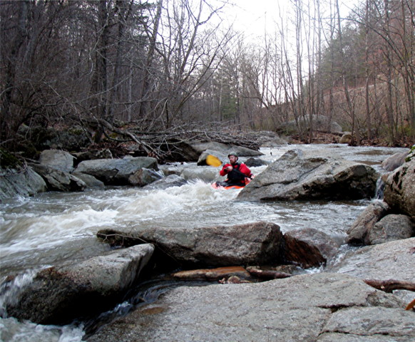
NOTE: we make no assertion the photo is of this particular area, but only feature it to represent the sort of drops which exist. We welcome nyone who can 'pin' the drop to a more accurate location to remove it from this feature/location and add it at a more appropriate location.

Aerial view appears to show a bit of a constricted rock jumble?
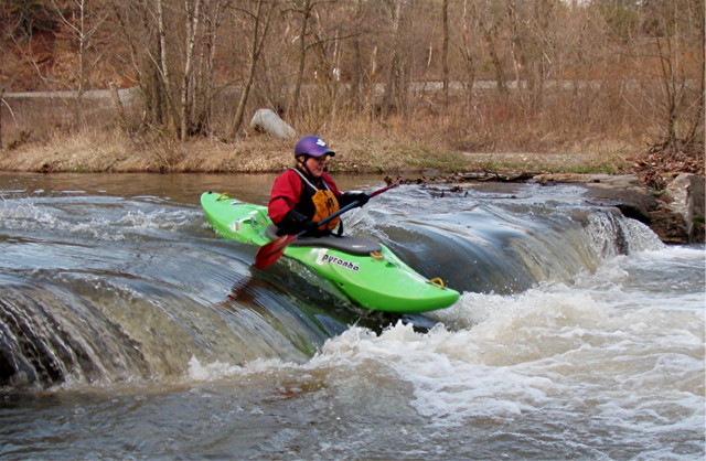
NOTE: we make no assertion the photo is of this particular area, but only feature it to represent the sort of drops which exist. We welcome nyone who can 'pin' the drop to a more accurate location to remove it from this feature/location and add it at a more appropriate location.
We have no info regarding best parking and access ... can you provide?
No trip reports yet.