San Joaquin
Mendota Pool to Merced River Confluence

| Difficulty | I |
| Length | 86.3 mi |
| Avg Gradient | 1 fpm |
| Gauge | San Joaquin R Nr Mendota Ca |
| Flow Rate as of 1680 days | 153 cfsstale data |
| Reach Info Last Updated | January 18, 2011 |
This section is flatwater and especially suited for canoes and touring kayaks. There is playboat potential at the outflow from the Mendota Pool dam, but there are usually lots of fishing lines from people up on the dam. The reach is of particular interest because of its historic and political significance.
The flow situation here is unusual. Friant dam normally diverts all of the water that would flow in this section. Most San Joaquin river water is diverted south to Tulare and Kern counties via the Friant Kern Canal, and some is diverted north through the Madera Canal.
To provide water to Mendota and Firebaugh area farms, water from the Sacramento and Feather rivers, is pumped out of the Sacramento - San Joaquin delta, into the Delta Mendota Canal. This water reenters the San Joaquin River at Mendota Pool immediately above the put-in. Water then flows down the river to various irrigation diversions, till there is no more. The river is empty and dried up by the time it crosses highway 152. It is an expensive process, but worth it to the farmers, since your federal tax money pays for much of the real costs.
A settlement agreement in 2006 between the Bureau of Reclamation and various environmental groups, lead by the Natural Resources Defense Council (NRDC), mandates that sufficient flows be returned to this river so that it does not dry up and that salmon may once again swim up the river to spawn. In accordance to the agreement, restoration test flows began in October 2009. In the spring of 2010, water once again flowed from Friant all the way to the confluence with the Merced and on to the San Joaquin/Sacramento Delta. Several long sections of river which were usually dry for the last 60 years, now have low but steady flows.
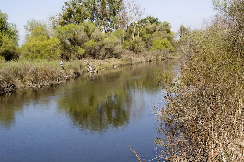
Between Mendota and Sack Dam, the river flows past farmland. North of Highway 152 the river flows through the Merced and San Luis wildlife refuges and through the Great Valley Grasslands State Park.
...
There is easy access for launching boats just downstream of the dam.

A Bureau of Reclamation gauging station is on river left. Water in this section is usually pumped from the delta, via the Delta-Mendota Canal. During the winter and spring flows can come from Friant, from Pine Flat via the Kings, pumped out of Tulare Lake or perhaps from west side creeks.
The gauge is housed in a vertical corrugated pipe with a solar panel on top. The cable crossing just downstream is used to measure the actual streamflow and calibrate the river level gauge.
The Firebaugh Wasteway channel comes in from the left. It appears to be a drain of some kind. It probably carries treated waste water from the Firebaugh sewage treatment plant. Looks like it can be flushed out with water from the Delta-Mendota Canal.
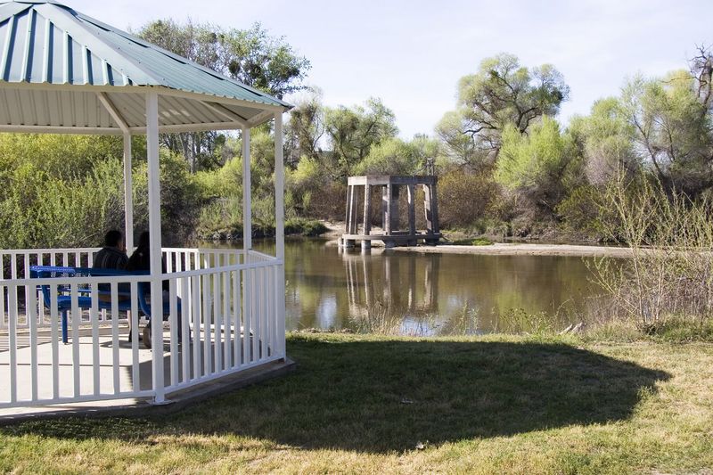
The concrete remains of the old rotary bridge on the right side of the channel, signal this access point. Take out or launch next to the white gazebo on river left.
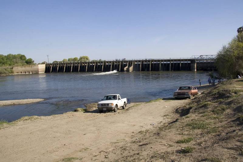
A small dam backs up the river, allowing diversion of most of the flow into the Arroyo Canal on the left.
Sack Dam Sack Dam is 5-foot-high low-head structure used to divert water from the San Joaquin River into Arroyo Canal. Diversions to Arroyo canal are usually limited to 600 cfs, but range from 0 to 800 cfs (Reclamation 2009b). Recently, changes in groundwater use are causing subsidence between the Eastside Bypass and the San Joaquin River. The San Luis Canal Company (SLCC) reports recent subsidence of Sack Dam at rates exceeding 0.5 foot per year (SLCC 2013)
This gauge measures the flow below Sack Dam. This section was normally dry after the construction of Friant Dam. The San Joaquin Restoration process might bring dependable flows back to this section of river. As of 2014 the river remains dry in this section till the Merced confluence.
It may be possible to access the river under this bridge, but there are likely to be fences blocking the way.
There is a small dam just south of W. Washington Road and about 1/2 mile before the confluence with the Eastside Bypass. Might be easier to portage on river right. There may be public acces to the river from the road here as well.
The Chowchilla Bypass rejoins the river here. Or rather, the river joins the bypass. The channel is pretty much a straight ditch after this for a long ways.
There may or may not be public access at this road crossing.
The Merced National Wildlife Refuge is on the east side of the river and to the south of the road.
Portage on either side, but it may be better on river left.
There may be access at this bridge. The west side of the road is the boundary of the Great Valley Grasslands State Park.
This state park provides parking and river access. It is on the west side of the river just south of the highway 140 bridge. This is now part of the Great Valley Grasslands State Park.
There appears to be public river access on the south side of Hills Ferry Road, just east of the bridge. The Merced River enters on the right.
Apr 26, 2012
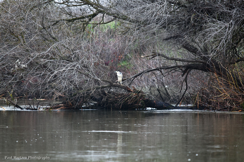
While taking this photo, I almost drifted into the snag. The channel between Mendota and Firebaugh is mostly open and clear, but a few downed trees and snags will be found along the way.
May 23, 2011
On the morning of April 21, 2011, two men accosted a paddler at the small dam at mile 46. The men, representing land owners, told the paddler that the land and river were private property and that they would not allow him to continue downstream. The paddler went back upstream to Sandy Mush Road and called to get picked up by friends. The paddler did not get the name or contact information from the landowner.
American Whitewater believes that this section of the San Joaquin is legal to float and that it is legal to portage any dams that need to be portaged. Land owners do not have any legal right to prevent boaters from paddling on the river or from portaging obstructions. Diplomatically assert your right to float. Private land owners can not legally stop you. Only a sheriff's officer or other police officer can legally detain you. Politely continue on your way, but get their name and contact information. If an officer of the law does come and detain you, do what ever they say, but explain your understanding that the river is a legally navigable waterway. Get the name of the officer so that we can follow up. Then contact American Whitewater.