Christopher Creek
01. Box Canyon
| Difficulty | IV-V |
| Length | 5.3 mi |
| Avg Gradient | 126 fpm |
| Gauge | Tonto Creek Above Gun Creek, Near Roosevelt, Az |
| Flow Rate as of 50 minutes | 0 cfsbelow recommended |
| Reach Info Last Updated | October 13, 2025 |
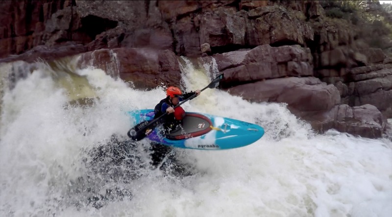
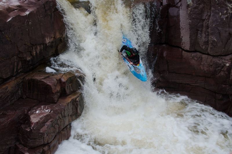
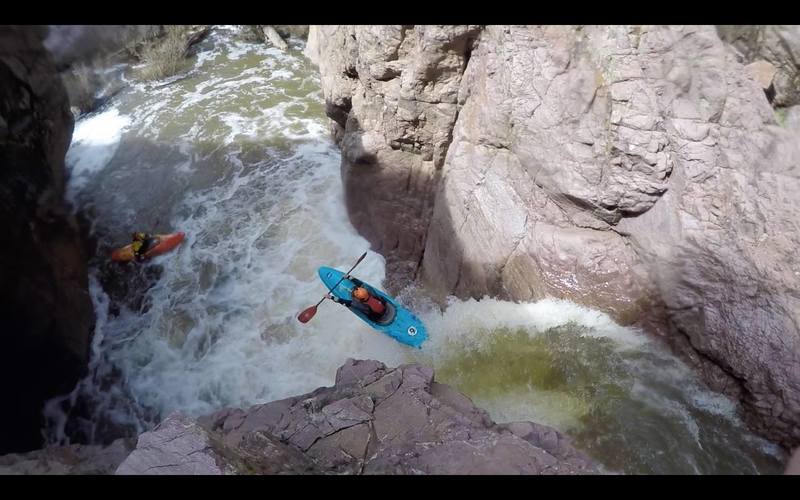
A spectacular steep creek through a box canyon. Christopher Creek is a tributary stream feeding Tonto Creek.
120 to 150 CFS is good here ~ the only gauge serving this run is the Tonto Creek gauge 50 miles downstream.
Bret Howard, Roy Lippman, Tyler Williams, Hut Wade and Mark Knight attempted Christoper Creek first in 2005.
Roy broke his leg on the 4th or 5th drop (a 10-footer into a shallow pool).
Evan Stafford, Kyle McCutchen and Todd G completed the first descent shortly after.
Christoper Creek is on the radar of steep creekers worldwide. Fickle seasonal weather events means you must be ready when it rains.
'Oh yeah... its raining. Get in the truck' said a guy I know...
Put In: Christopher Creek Campground off HWY 260 +/- 21 miles east of Payson, AZ.
Do not put in or linger at the Scout Camp (It is private property). (Think GC Yellowstone put in)
Take Out: Tonto Creek at Bear Flats (may require a 4 wheel drive) or hike out at Spring Creek back to vehicle on HWY 260.
Photos and Video can be found here:
COKayaking: First Successful Descent Report excellent descriptions and photos. <-- fix your link guys or email the streamkeeper 10.12.2025)
Huckin Huge Films: 2nd Descent Christopher Creek. (Huckin' guys need a new link or to pay your domain fee 10.12.2025 b/c the link is broke)

The campground is about 1/4 mile down from the highway, so even if the gate is locked in the winter it is a fairly short walk to the creek.
Elevation: 5640 feet.
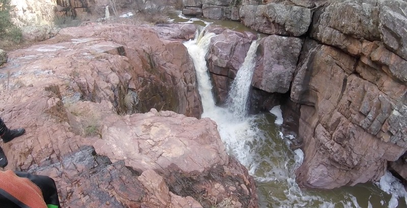
A scenic gorge that drops about 50 feet in half a mile.
Elevation: 5605 feet
The creek levels out past some sort of ranch on river right.
Elevation: 5562 feet.
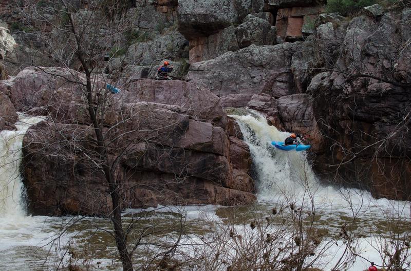
Also knowns as Roy's, but that doesnt fit the Big Leboski theme.
Most people walk this thing, if you want to run it you better be skinny
Best to scout and run from river right, very dense set of brambles above.
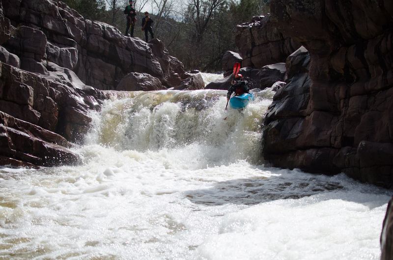
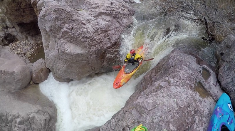
The last drop before the big boy
No doubt the sweetest drop in the canyon, it makes navigating the Dude worth it, just for this drop.
Spring Creek comes in from river right very close to the end of the Box Canyon. It is fairly short but steep hike up this drainage to highway 260.
Elevation: 5200 feet.
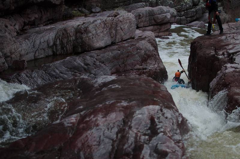
The drops after the Lil Lebowski are not runnable, despite what you may think. Begin a long and tricky portage puzzle, until the confluence of the tonto pretty much. It is called T dub, because well, team work will be mandatory
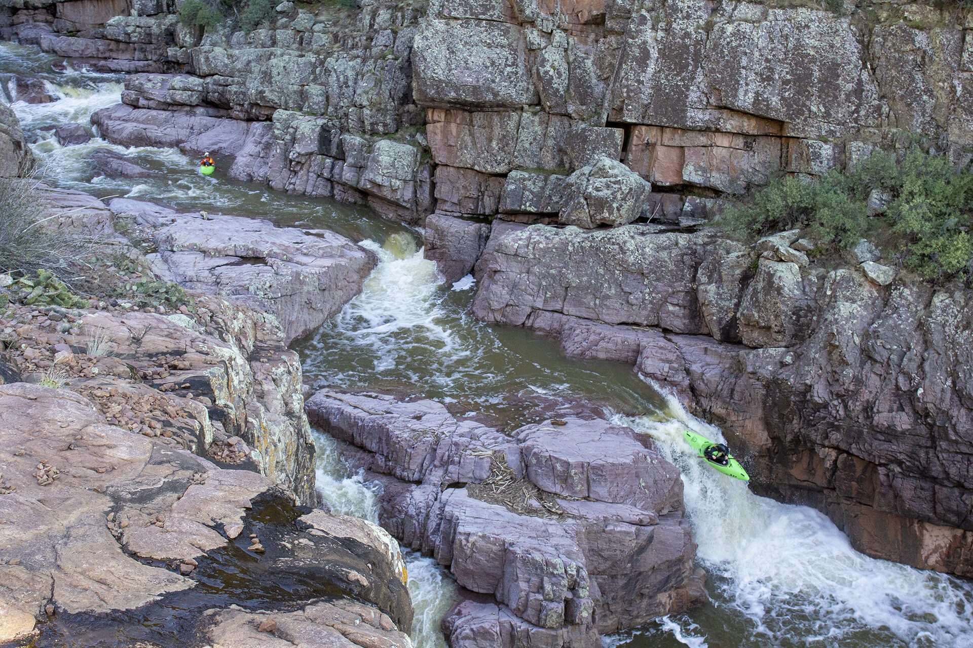
A stout slide with a tight slot, it used to get run all the time, but the last time we ran it, which as far as I know was the last decent, a rock had shifted, closing the exit of the slot, and turning it into a portage
Tonto Creek comes in from river right. Average gradient is 60 feet per mile from here to Bear Flat Campground.
Elevation: 5125 feet.
Private homes border the creek from here down to Bear Flat campground.
Elevation: 5000 feet.
A road fords the creek from left to right. The undeveloped campground is next to the road, on river right.
Elevation: 4960 feet.
Oct 26, 2017
The first drop, leading into the canyon after the paddle in