Rockhouse Creek
Roseboro Roadside
| Difficulty | IV+ |
| Length | 0.58 mi |
| Avg Gradient | n/a |
| Reach Info Last Updated | May 17, 2025 |
Not a lot of information on this micro creek. Based on an old guidebook it appears to be a tight & technical roadside run. Is said to have 4 main drops that can be scouted from the road with lines that are 'pretty obvious'. One source says that nearby Gragg Prong has to be medium to high levels to get this going. Wilson Creek gauge probably has to be +13 at least (high medium to high). This is certainly a Class IV+ run as the drops are decent in size. Can scout most of the drops from the road.
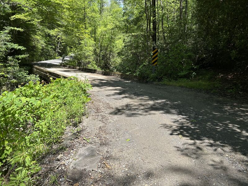
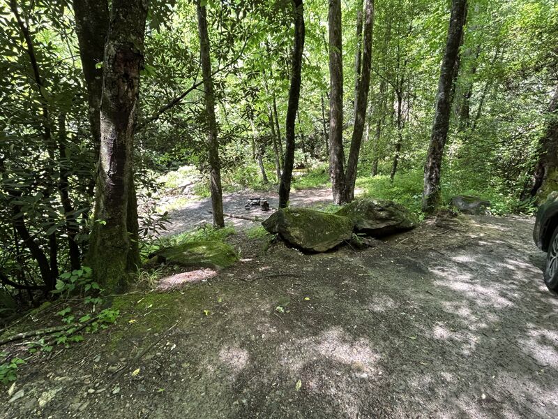
Enough space for 1-2 cars. Can climb down the bank & put in under the bridge.
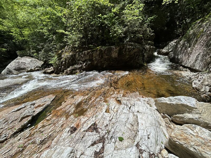
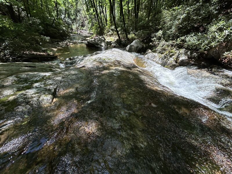
The river will take a hard left turn over a rapid. Immediatly below this the river turns into a very narrow chute just wide enough for a boat before a long bedrock slide. Can see the majority of it from the road above.
The next major rapid is just after this.
The river will push you to the right towards two slots. The one one the left lands on a slanted rock which would pin you. The right slot is a hard left turn before a slide into a pool.

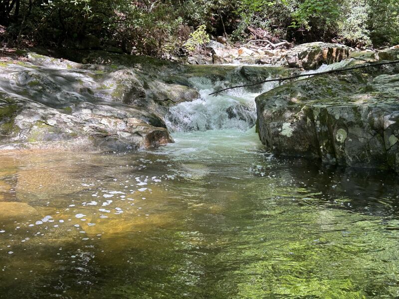
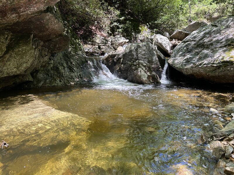
Manky boulder choked slot entrance into a 20ft slide.
Found a can of Grizzly down here so thats what I am calling it.
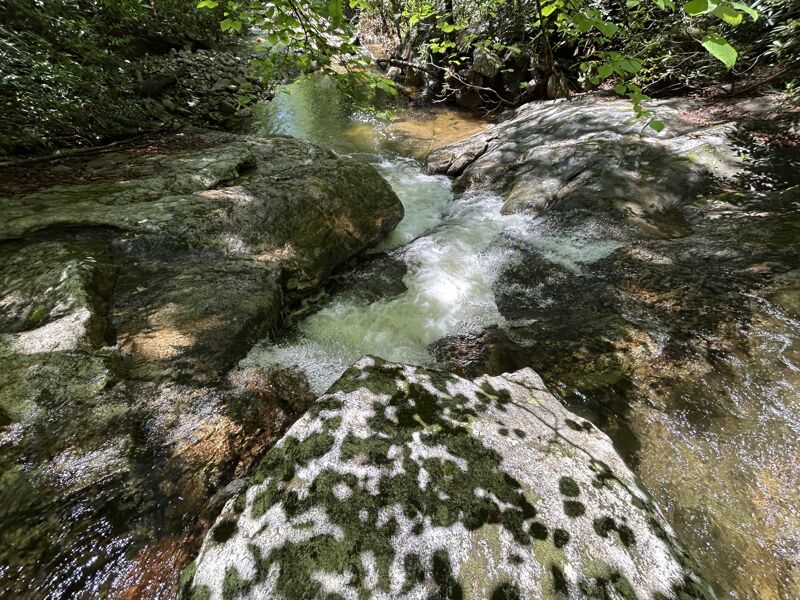
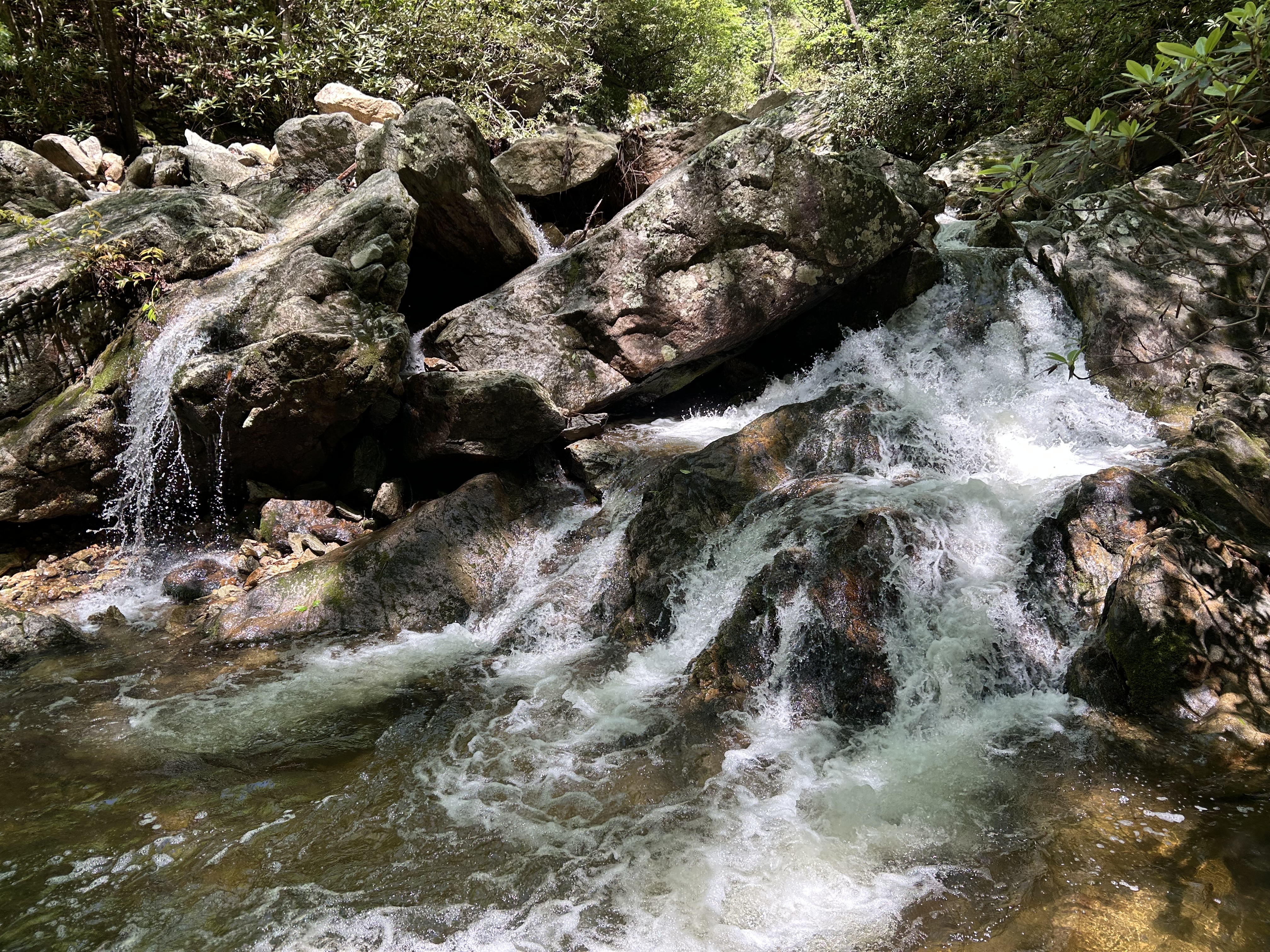
All the water flows into a small chute with the left side looking like a sieve.
Kinda looks like a much much smaller version of Jedi Training on the Raven Fork. Lines on both the left & right.
No major rapids are after this one. The rest of the run the biggest hazard will be landslides & debris from Hurricane Helene, expect a portage or two.
Take out & reset shuttle for another lap or check out other creeks/rivers that will definitly be running.
May 17, 2025
After about 4in of rain a few days ago I decided to go & scout this little known run. Parked at the bottom & creek walked all the way to the put in. Definitly too low to run & seems to drop pretty quick. I think this might be the type of run you do to waste some time as some of the other nearby runs drop to a reasonable level. Super short shuttle.
It is every bit of class IV+ in my opinion. It has 4 pretty significant rapids with some dropping a decent bit. All the good stuff is in the upper half of the run. The last half is nothing but a portage fest with all the damage from Helene & I dont see anyone coming in here with a chainsaw anytime soon. Good news it can be decently scouted from the road & I'd suggest scouting before you put on as there isnt a lot of space between the drops.
It was definitly too low to run & I bet things look a lot better when the water covers up some of those nasty rocks. I'll put up some photos for reference. Also added names to the rapids for clairity so feel free to change them if they have official names. Just not a lot of information on this micro creek.