Salmon
2 - Stanley to Rough Creek Bridge(Stanley Run)
| Difficulty | II |
| Length | 9.3 mi |
| Avg Gradient | n/a |
| Gauge | Salmon River Bl Yankee Fork Nr Clayton Id |
| Flow Rate as of 52 minutes | 894 cfsmedium runnable |
| Reach Info Last Updated | July 7, 2024 |
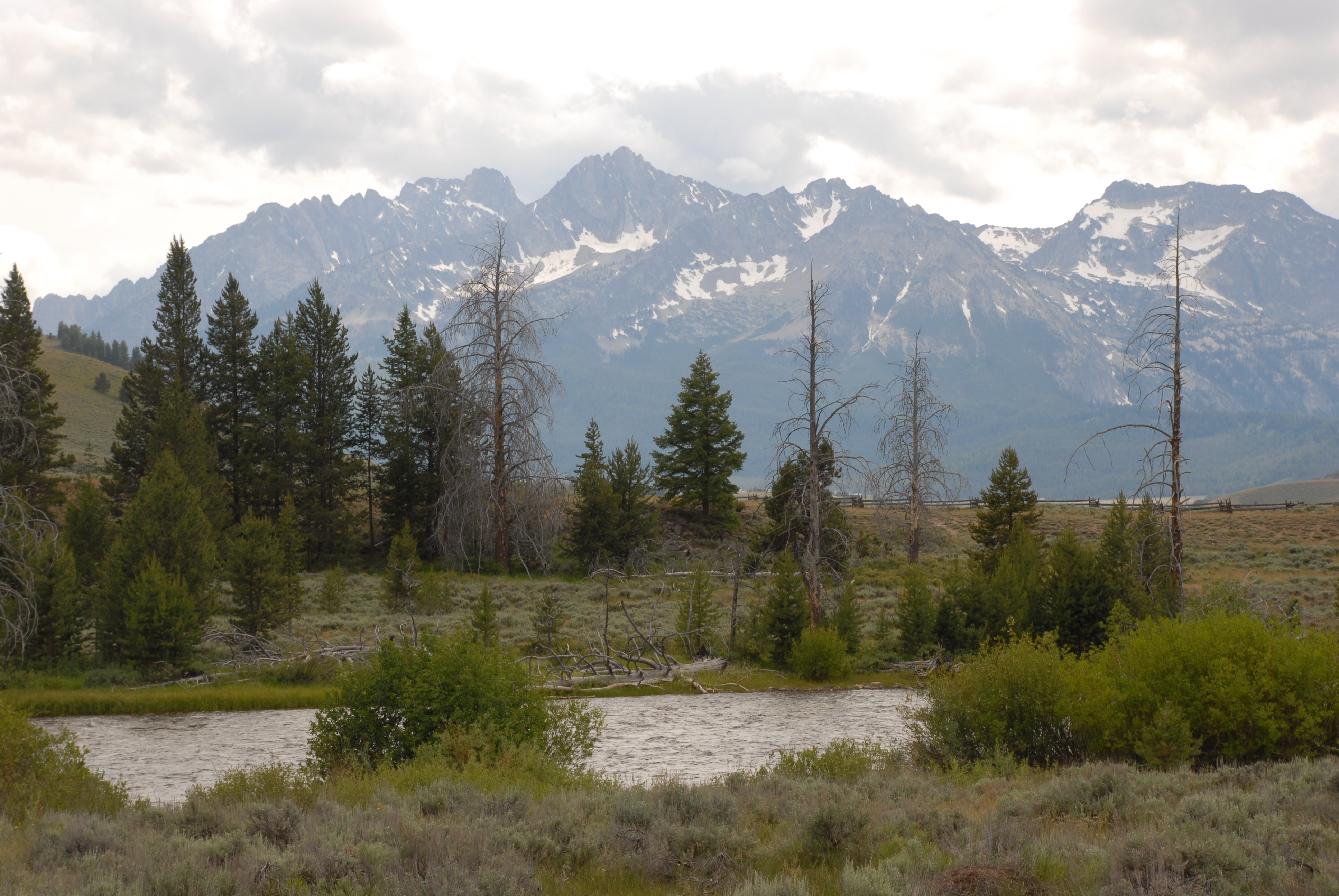
This section is a great day section on the Main Salmon. It begins with scenic float along Highway 75 in the wide open valley in Stanley with the backdrop of the Sawtooth Mountains.
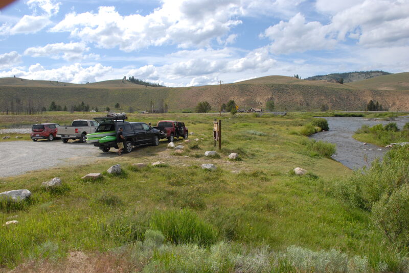
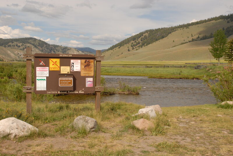
Access on river left at the bridge in Stanley located at Highway 75 mile 189.9. The site has a small parking area and low bank access to the river.
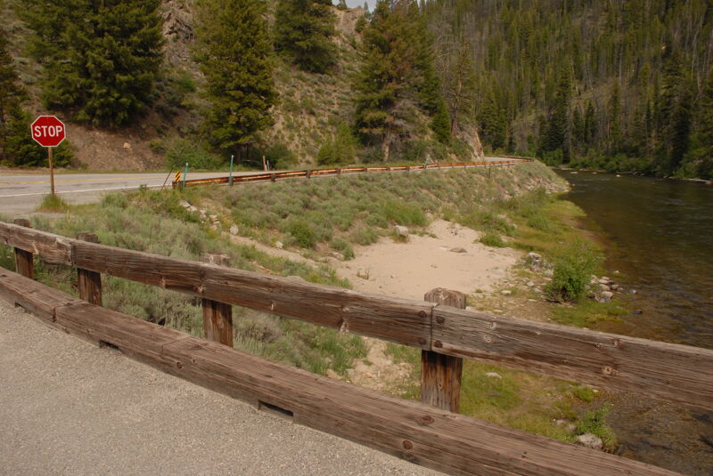
This informal access point marks the transition point between the class II float through the valley in Stanley to the more challenging class III-IV whitewater downstream. Access is on the downstream river left side of the bridge at Highway 75 mile 199.0.