Salmon
5 - North Fork to Corn Creek
| Difficulty | III |
| Length | 46 mi |
| Avg Gradient | n/a |
| Gauge | Salmon River at Salmon Id |
| Flow Rate as of 37 minutes | 1550 cfsrunnable |
| Reach Info Last Updated | June 6, 2022 |
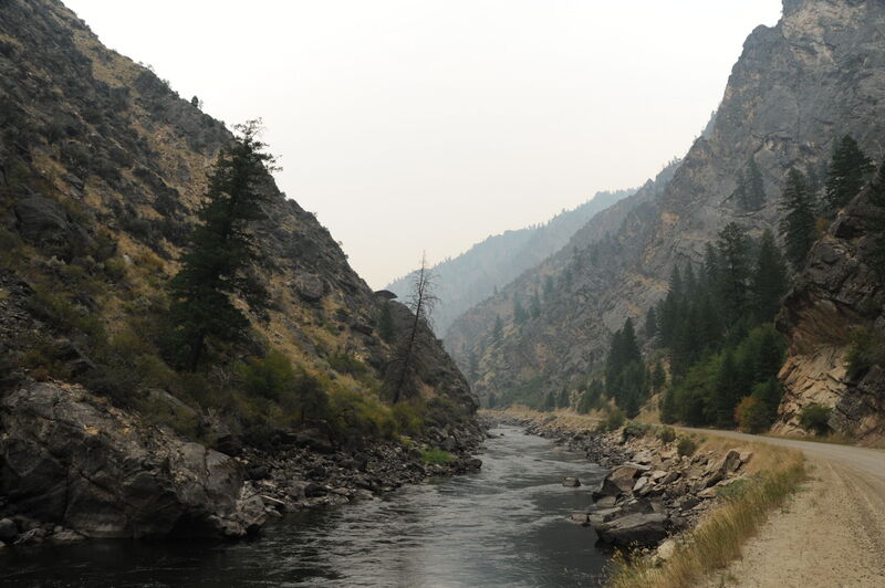
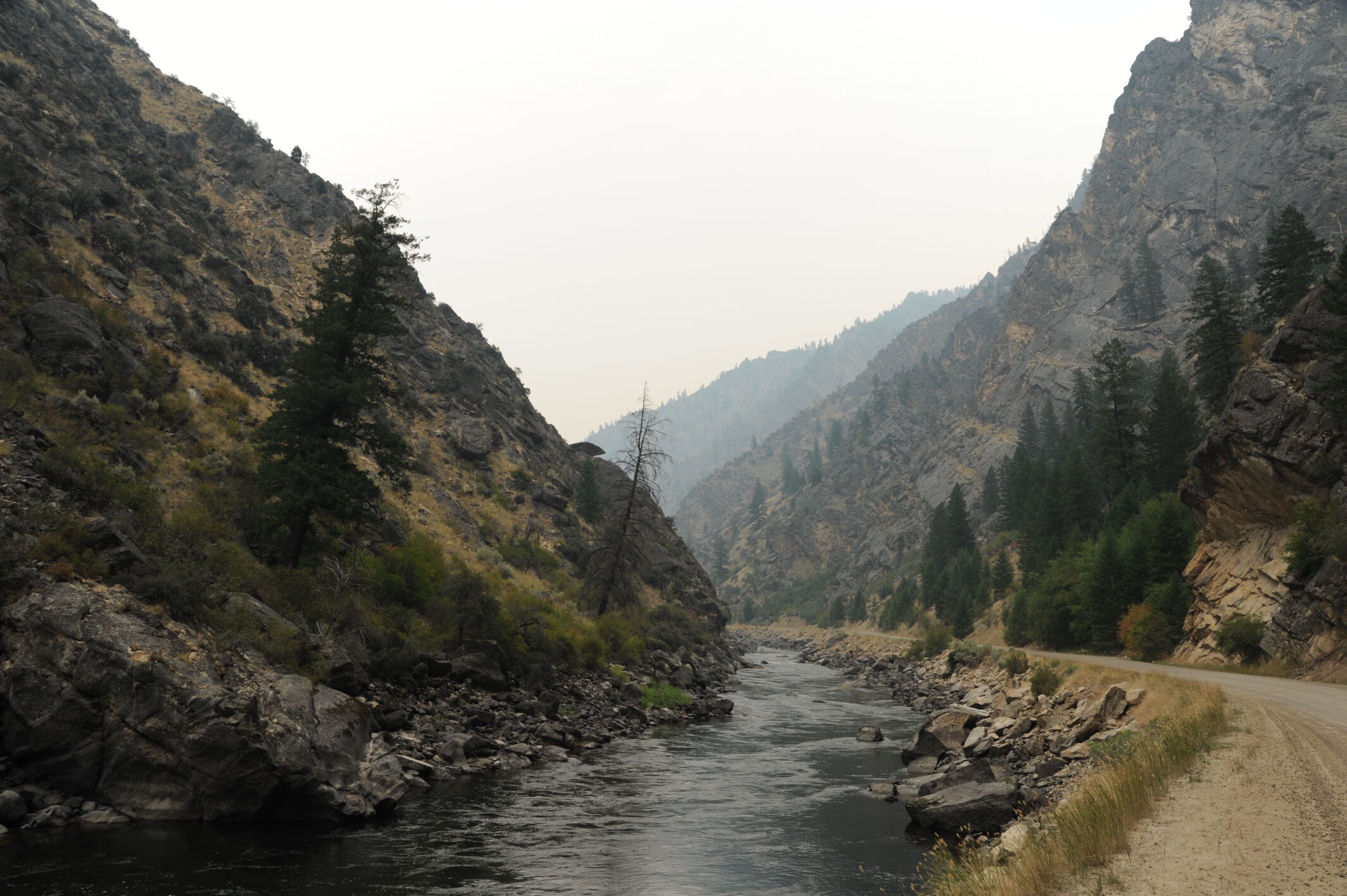
This is the roadside run that those traveling in to the Main Salmon put-in or out from the Middle Fork Salmon take-out see on their drive. There are a number of access points that provide options for a day trip or for those wishing to extend their Main Salmon trip and reduce the long drive down the washboard road to its end at Corn Creek.
For those interested in a day trip, the 10 mile class III run from Spring Creek to Cove Creek is a popular option.
Access Points and Features (mileage from Highway 93).
4.5 dispersed recreation site
10.2 dispersed recreation site
12.4 BSA Adventure Base
14.7 dispersed recreation site
16.5 end of pavement
19.5 bridge
23.4 pictographs
26.3 Panther Creek
27.2 bridge
31.6 dispersed recreation site
33.1 Ebenezer Campground
35.2 dispersed recreation site
37.2 Long Tom Picnic Area
37.6 Middle Fork Salmon confluence overlook
40.5 Cache Bar Boat Ramp, standard take-out for Middle Fork Salmon trips
46.0 Corn Creek Boat Ramp and Campground, end of the road and standard put-in for Main Salmon River trips (permit required)
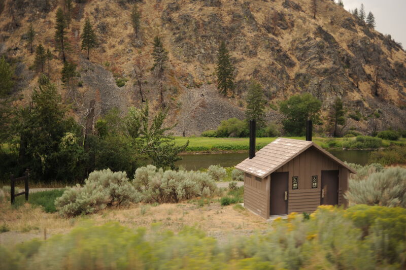
This access is adminstered by Idaho Fish and Game through a private land lease agreement that provides access to the Salmon River. It is located behind the North Fork Store and Campground along US Highway 93. Private campsites and picnic sites are available adjacent to this access. Open during daylight hours with amentities that include an accessible toilet and boat ramp.
River access is available at this picnic area administered by the Forest Service located 0.4 mile down the Salmon River Road.
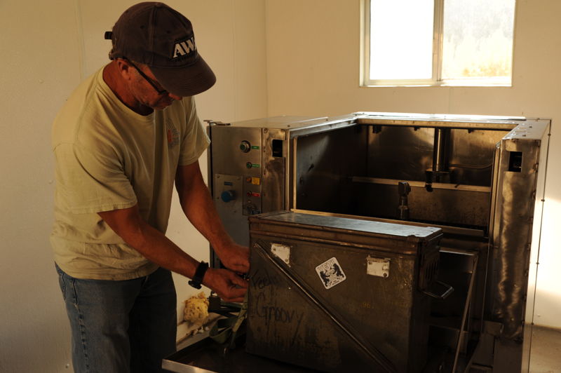
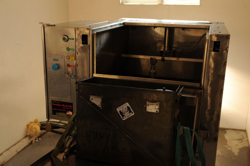
The SCAT Machine used for toilet clean outs after river trips and is administered by the Forest Service.
Good ramp providing river access located 3.7 miles down the Salmon River Road.
Good ramp providing river access that is often used as a put-in for a day trip that is co-located with a campground adminstered by the Forest Service. The access is 16.2 miles down the Salmon River Road.
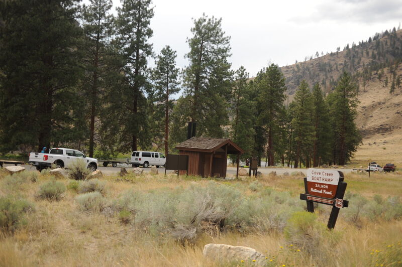
Good ramp providing river access that is often used as a take-out for a day trip. It is located 27.8 miles down the Salmon River Road and administered by the Forest Service.
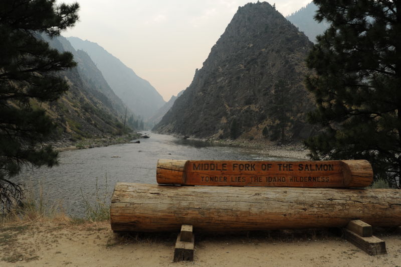
This is the point where Middle Fork Trips join the Main Salmon at Salmon River Road mile 37.6. A pullout provides a view up the Middle Fork Salmon from an overlook. A rough ramp provides river access just downstream of the confluence on river right. Most Middle Fork Salmon boaters continue a few miles downstream to a take-out but a few continue on down the Main Salmon.
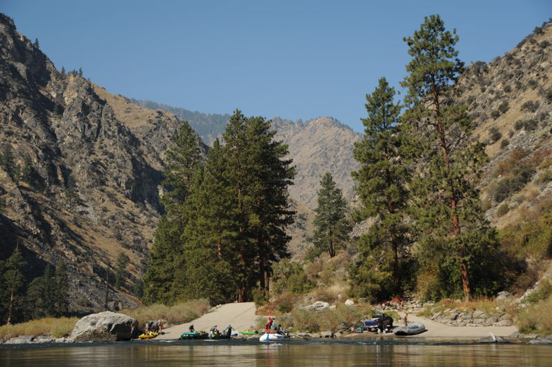
This access point is typically used as the take out for trips that are coming down the Middle Fork and is administered by the Forest Service. Those paddling the Salmon River should avoid this access point so as not to create further congestion. It is located at Salmon River Road mile 40.5.
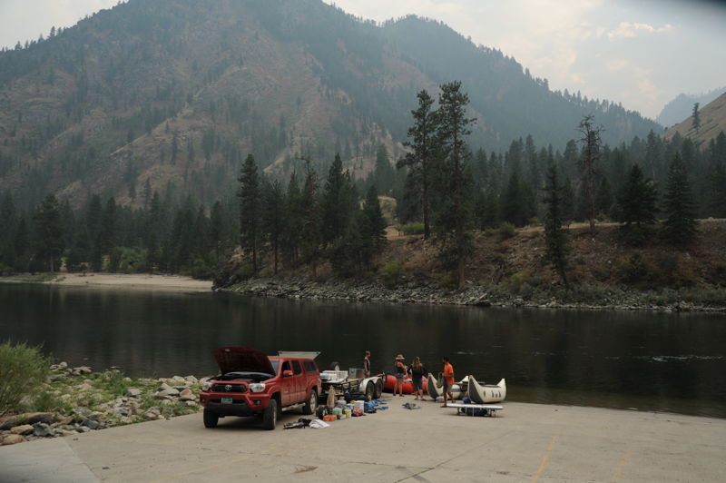
Take out at Corn Creek on river right. This access marks the end of the road at Salmon River Road mile 46.0 and the transition to the section known as the Main Salmon that requires a permit for multi-day river trips. The site is administed by the Forsest Service and includes an adjacent campground popular with river runners who stage their trips the day before launching.
Aug 24, 2020
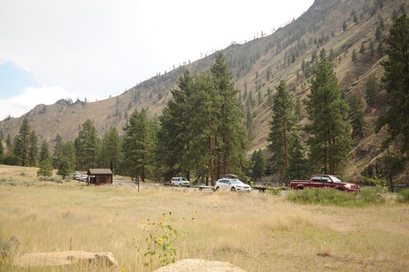
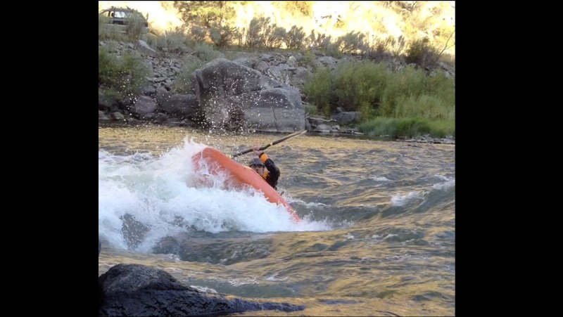
Driving in along the Salmon River in transit to the put-in for a Main Salmon trip.
Nov 7, 2016
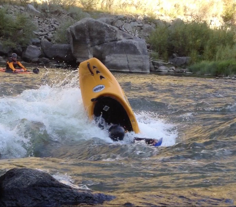
Here's a link to my video : https://youtu.be/Smnqne5uk6w
Sep 28, 2014
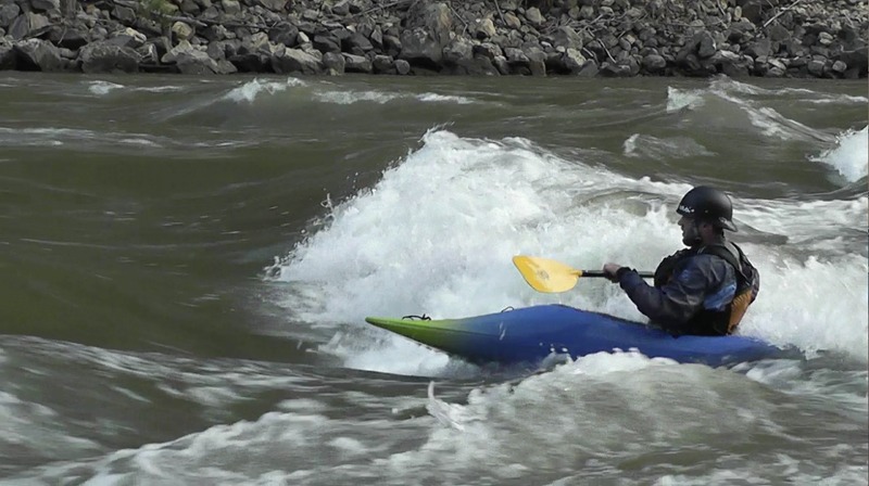
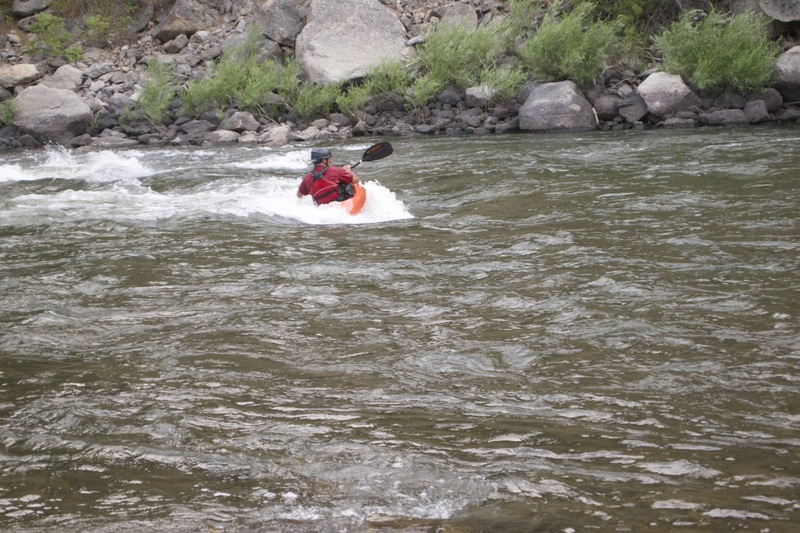
Galand throwin' down
2014 Video: https://youtu.be/Smnqne5uk6w