Salmon
8 - Riggins to White Bird
| Difficulty | III |
| Length | 30 mi |
| Avg Gradient | n/a |
| Gauge | Salmon River at White Bird Id |
| Flow Rate as of 52 minutes | 7450 cfsrunnable |
| Reach Info Last Updated | July 6, 2024 |
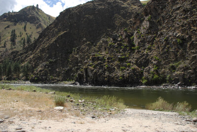
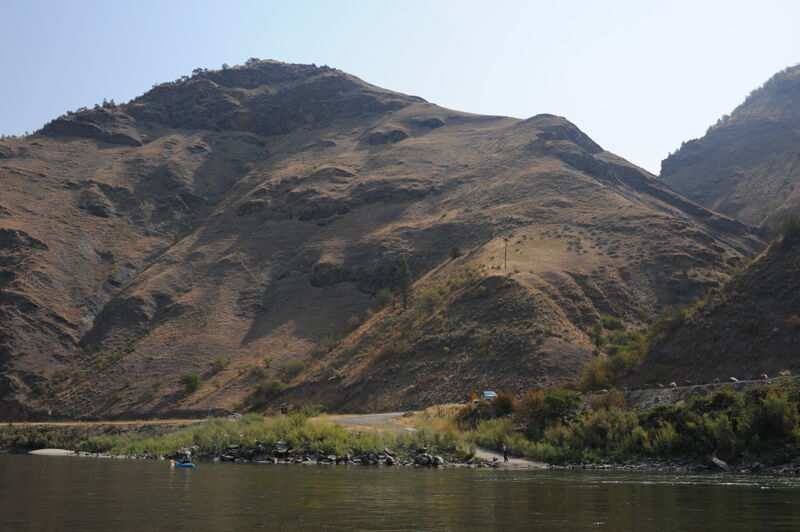
This section of the Salmon River between Riggins and Whitebird is paralleled by Highway 95 which makes for an easy shuttle and provides a number of alternative access points for day trips. The most popular short trip on this section with the best whitewater is from Riggins to Lucile.
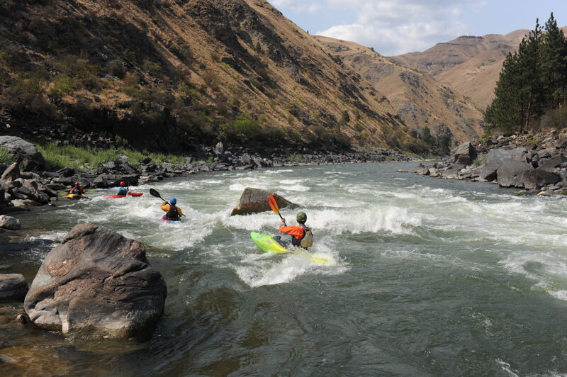
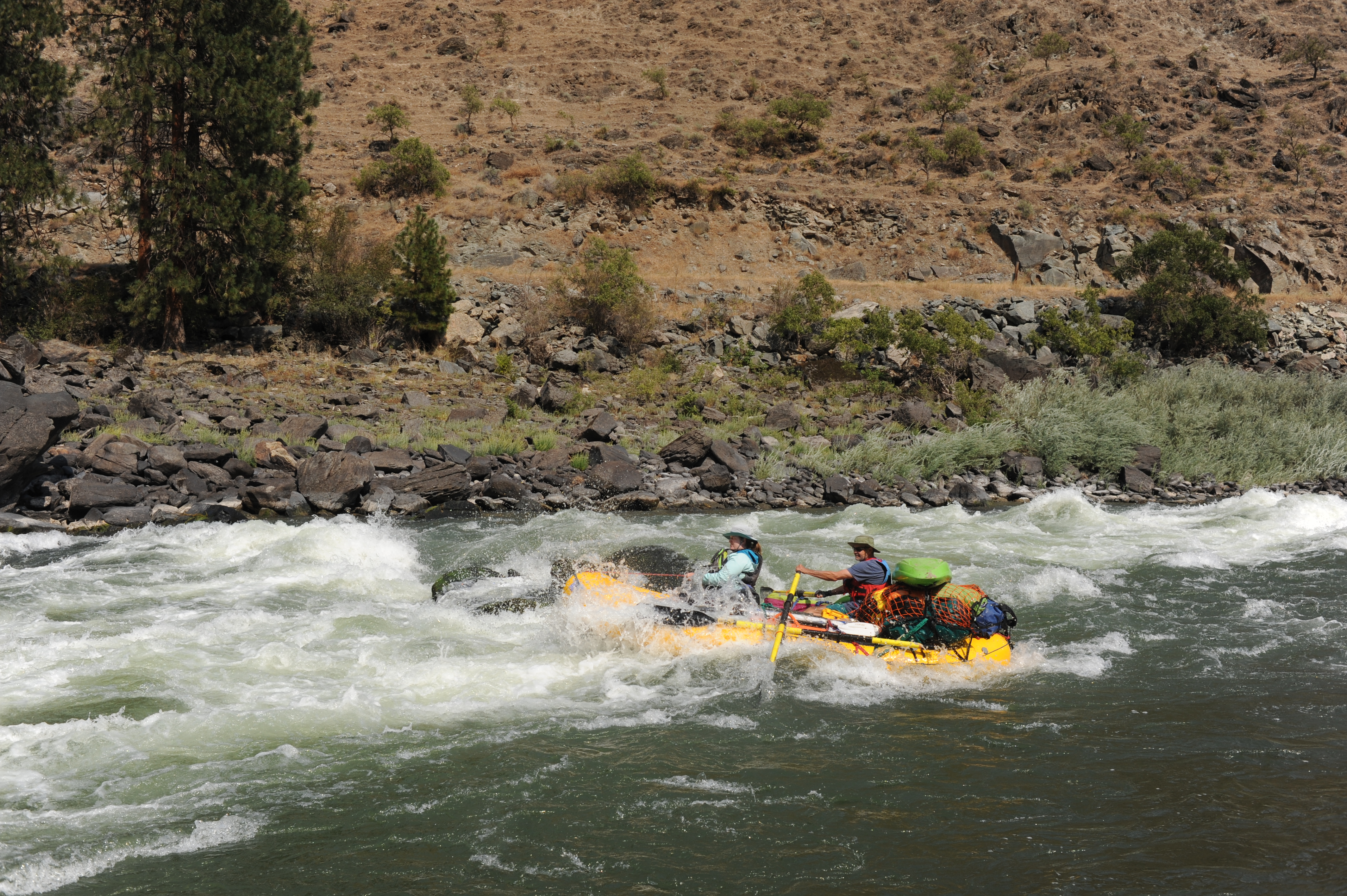
While this section is less known than the multi-day stretches on the Salmon that attract paddlers from across the country, you will find great whitewater, easy logistics, and a long summer season on this run. If you want to sample what the Salmon River has to offer without packing 5 days worth of food and hundreds of pounds of gear, this is the place to go.
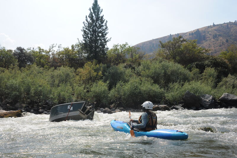
A number of class III rapids are good for instruction with long stretches between rapids to recover or practice a few more rolls. Several local outfitters provide half day or full day trips and Riggins is a fun river town if you are looking for a place to hang out and enjoy the scene.
Logistics:
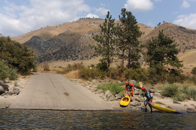
Put-in is at City Ramp in Riggins at river mile 86.0. The takeout is the Hammer Creek Launch Site at river mile 52.9 but there are multiple access points along the way. Most of the rapids are in the first few miles and most half-day whitewater trips take out at Lucile.
Located on river left at Highway 95 mile 195.7 in Riggins City Park recognized by the historic wooden scow, used for one-way trips down the river, that marks the entrance to the park. A ramp provides access to the river. River mile 86.0.
A large rock can create a powerful hole between 8000 and 20,000 cfs.

Located at river mile 84.3 just upstream of Time Zone bridge. At lower flows a ledge extends halfway across the river from river right forming a hole. Large waves form on river left. You enter the rapid in the Mountain Time Zone and finish in the Pacific Time Zone.
A rock on river left creates a hole at some flows but a fun wave train follows on river right.
Access point on river right at Highway 95 mile 198.8 with a ramp located at river mile 82.7.
River mile 80.5. Fiddle Creek Recreation Site is on river right upstream of this rapid.
Recreation site administered by Bureau of Land Management with an access ramp and camping along the highway on river right located at Highway 95 mile 202.
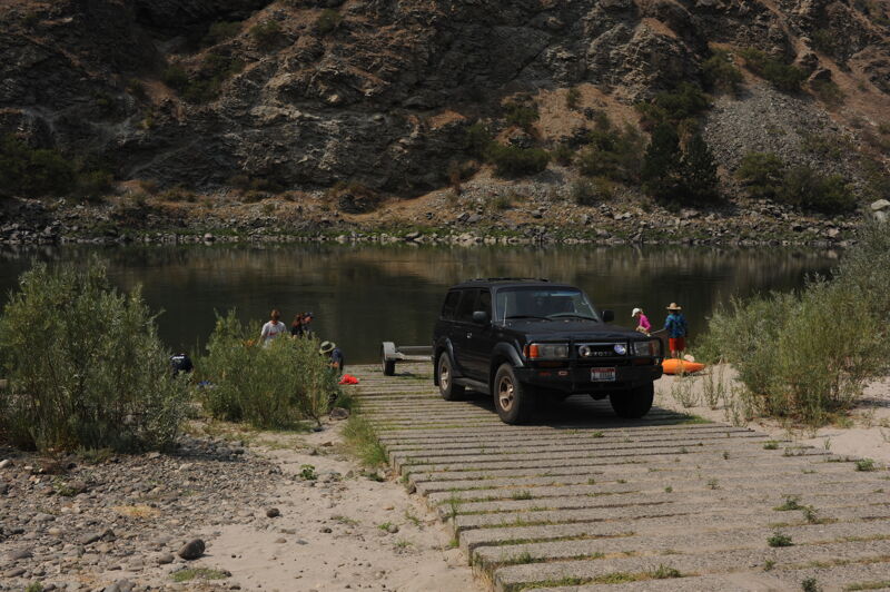
Recreation area with a good boat ramp administered by Bureau of Land Managment on river right at Highway 95 mile 203.5 and river mile 77.7. This is a popular access point for half-day trips that take in the best whitewater.
Recreation site on river right with a good ramp, large paved parking area, toilet, and designated changing rooms on river right administered by Bureau of Land Management at Highway 95 mile 203.9 with a ramp located at river mile 77.3. This is a popular take-out point for half-day trips that include the best whitewater.
Access point at Highway 95 mile 209.8 with a ramp located at river mile 60.7.
Run river right. Hole or rocks on river left depending on flow. River mile 68.2.
Blackhawk Bar Recreation site, administered by Bureau of Land Management, is adjacent to Blackhawk Bar Rapid on river right.
Recreation site administered by Bureau of Land Management on river right with six camp sites, picnic areas with shade shelters, toilet, and a good access ramp to the river that is usable for trailered boats. The access point is at Highway 95 mile 214.8 and river mile 65.3. The next ten miles from this site down to White Bird have no significant rapids.
Access point at Highway 95 mile 215.8 with a ramp located at river mile 64.3.
Access point at Highway 95 mile 218.1 with a ramp located at river mile 59.5
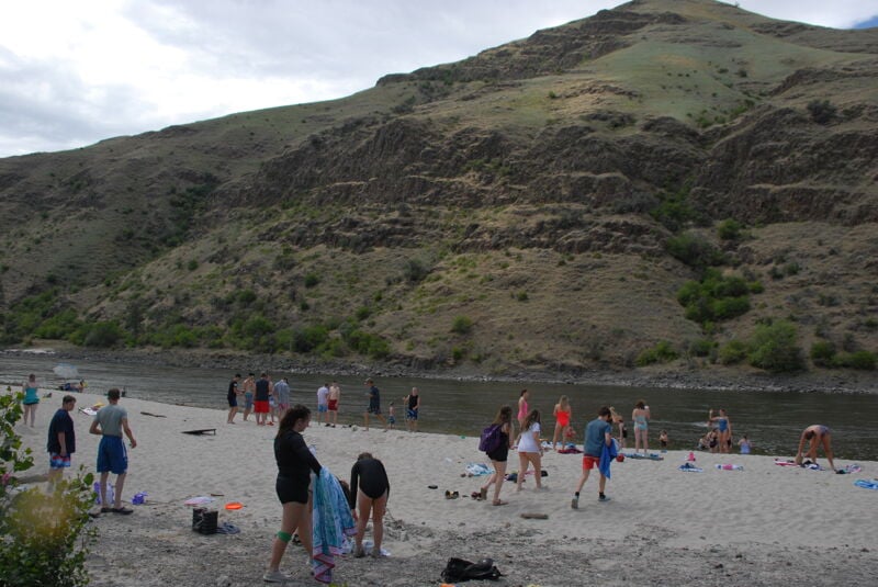
Recreation site and day use area administered by Bureau of Land Management with nice beach and grassy picnic area at Highway 195 mile 219.3, but no ramp to water. Suitable for hand-carry craft but not practical for rafts. River mile 58.1.
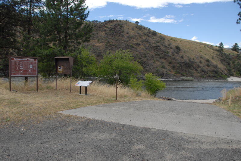
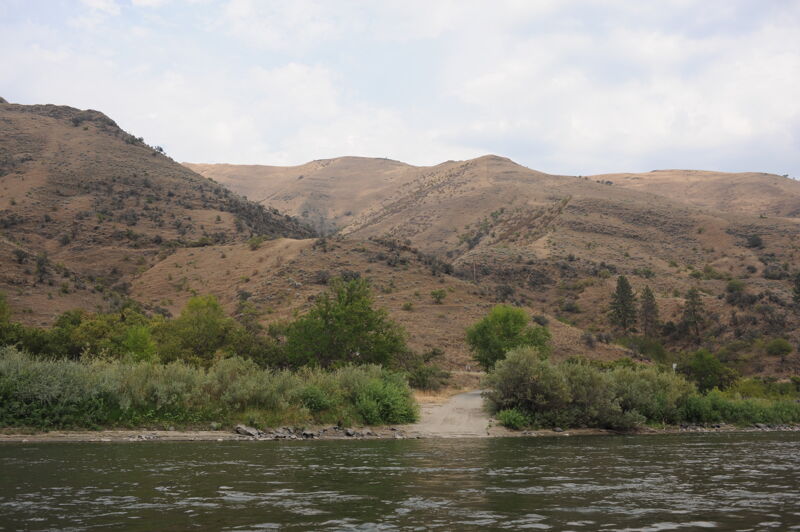
Day use site administered by the Bureau of Land Management. The site is largely undeveloped, but has easy access to the Salmon River. It is accessed from Highway 195 mile 223.5 where you turn onto Old Highway 95 for 0.3 mile to the access point. Located at river mile 55.1.
Jun 26, 2024
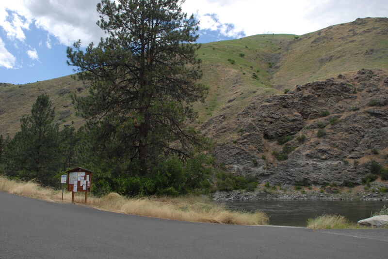
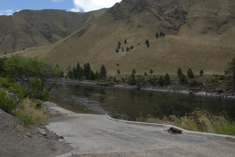
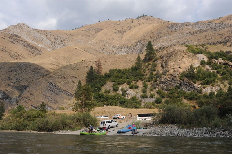
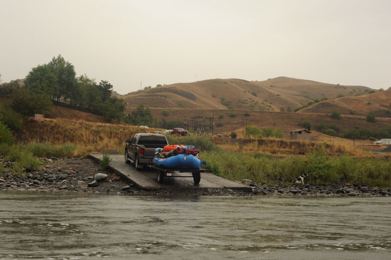
Photos of the major access sites along Highway 95 on the drive from the Lochsa to the Payette drainage.
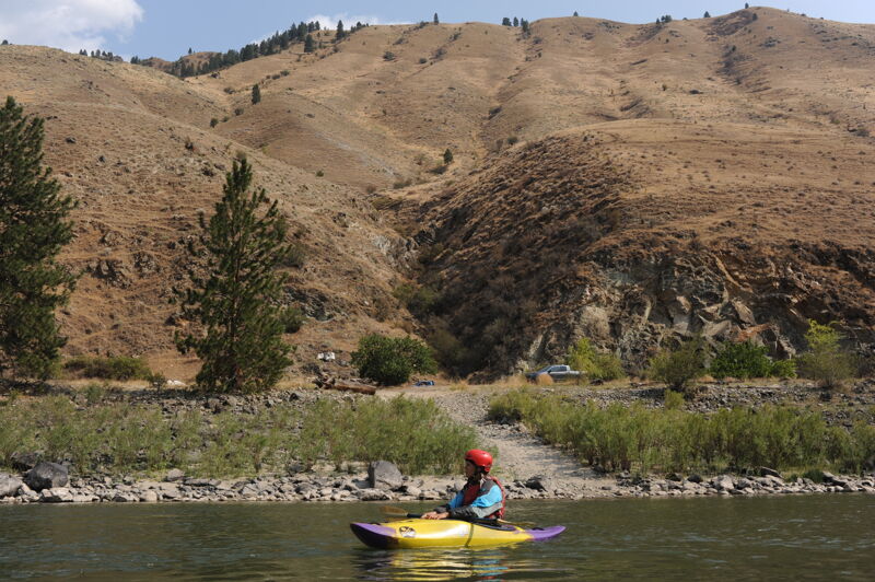
Aug 29, 2021
We floated this section as part of a longer trip from Spring Bar to Heller Bar and did the segment from Island Bar to Hammer Creek over 3 days. This meant camping two nights along Highway 95. Flows were around 3000 cfs and the current appeared to be moving slowly below Lucile but was actually fairly consistent with fewer of the flat pools upstream of drops in the section closer to Riggins. We easily did a 17 mile day with current moving at approximately 1.5 mph and our rafts were able to maintain a pace of approximately 3.5 mph (no significant up canyon wind). We made it to Heller Bar by noon on the third day. We found great beaches for camping on river left but the road was nearly always a presence and traffic continued through the evening. If I were doing this again at low flows I would likely plan for two days from Island Bar to Hammer Creek and just camp one night along the highway.