Black (Mississippi Trib.)
F) Hatfield Hydro to Hall's Creek Landing (3.9 miles)

| Difficulty | I-II |
| Length | 4.2 mi |
| Avg Gradient | 10 fpm |
| Gauge | Black River at Neillsville, Wi |
| Flow Rate as of 47 minutes | 135 cfsbelow recommended |
| Reach Info Last Updated | February 26, 2024 |
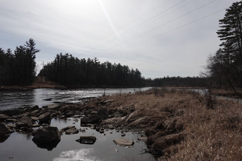
Far less often run than the section just upriver (from the dam to the powerhouse), this reach contains three relatively minor rapids.
Since this section lies downstream of the powerhouse, it may be runnable (and could provide some minor play opportunities) at times when the upper reach is dewatered. Also
Many boaters have noted the 'virtual gauge' created for this section may be of rather little merit (being merely a calculation of theoretical water available). The most relevant flow info is available from a NOAA gauge associated with the powerplant, available here: NOAA Hatfield Gauge. I believe this represents the total water in the river downstream of the powerplant (I.E., in this section).

A public put-in provided as a condition of the hydropower license is provided on the downstream river right side of the powerhouse. A small parking area and picnic site is open to the public providing access to the river but parking is limited.

(Info gleaned from Google Maps Satellite images (at unknown flows), and does not necessarily reflect reality at recommended flows.)
This rapids appears to be at an island near where Vismal Creek enters from river-right. There does not appear to be much rock/bedrock to cause any features, though there may be some constriction waves alongside the island or as the currents merge.
We have no specific firsthand knowledge of this rapids. Can anyone provide any info?
(Info gleaned from Google Maps Satellite images (at unknown flows), and does not necessarily reflect reality at recommended flows.)
At another island, it appears both channels have somewhat of a boulder-garden, and thus perhaps more likelihood of features! Access *may* be possible from Brickyard Road (which branches off of Power House Road just south of the power house). There appears (from satellite view) to be a parking area (maybe a camping area?) immediately adjacent to this island/rapids.
We have no specific firsthand knowledge of this rapids. Can anyone provide any info?
(Info gleaned from Google Maps Satellite images (at unknown flows), and does not necessarily reflect reality at recommended flows.)
Another (smaller) island appears to be preceded by a bit of bedrock forming a ledge-type rapids.
Since this lies little more than a half-mile down from the prior rapids, if access and parking are indeed available there, it may be worth paddling down, checking this out, then portaging back up to do these two as a park-and-play.
We have no specific firsthand knowledge of this rapids. Can anyone provide any info?
Take out on river right at the Halls Creek confluence.
Aug 21, 2021
Firebrick road leads to an alternate put in. The road to the powerplant landing looks like a driveway until you head down it and see the sign.