Kentucky, Middle Fork
Saylor to Hyden (up to 28 miles)

| Difficulty | I-II |
| Length | 28 mi |
| Avg Gradient | 14 fpm |
| Gauge | Middle Fork Kentucky River at Tallega, Ky |
| Flow Rate as of 1 hour | 228 cfsbelow recommended |
| Reach Info Last Updated | January 9, 2025 |
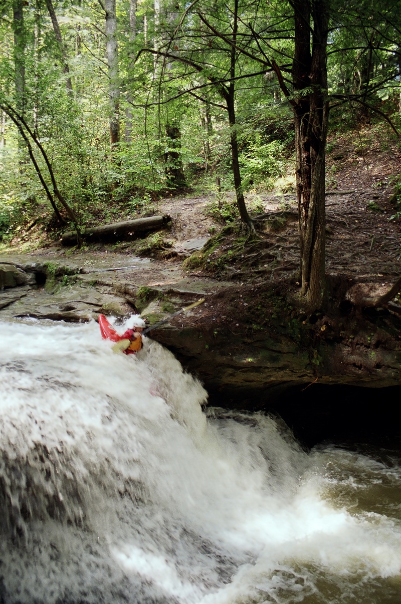
This listing is highly tentative, based upon sketchy reports which did not detail put-in or take-out locations. As a result,best put-in and take-out are unknown, and all of what is listed here is highly tentative. We have listed the highest likely/possible put-in to the point where gradient mostly peters out. In general, gradient is steepest early on, and mostly diminishes as the listed reach progresses.
While a gauge (with drainage listed as 206 square miles) has been in place at Hyden since 2018, it only provides precipitation and gauge height data (no cfs conversion). In 2022, a gauge was added near Buckhorn (drainage area 421 square miles), but it appears to have just one reading per day. Thus, we remain linked to the gauge at Tallega (drainge area 537 square miles, in place since 1986). Using relative drainage areas, flow at Hyden might be on the order of 0.3836 times the gauge at Tallega. (That gauge will lag considerably both on the rise and fall, but should be reasonable approximation when flows are relatively stable.)
Anyone with specific information and experience with any part of this run is encouraged to provide a trip report listing your put-in, take-out, gauge reading (either stage at Hyden, flow at Buckhorn, or ideally both), and evaluation of runnability and difficulty, and nature of rapids encountered.
Some detail may be available in the guidebook Canoeing & Kayaking Guide to KY
Drainage at this point is ~3.2 square miles (extremely small!), so it would take being here during or immediately after significant rain for there to be runnable flows at this point.
If (when) this is feasible to run from this point: from here to our listed 'recommended put-in' (at Warbranch) is very nearly 6 miles. Mile by mile gradient (FPM): 87, 145, 77, 31, 30, 29.
While we have no specific knowledge of this section of river, those first three miles seem likely to contain significant whitewater (likely at least class III, possibly into class IV or higher, and could involve major scouting and portaging).
We highly encourage anyone who has put eyes on this area to help out fellow boaters with a 'Trip Report' (especially if you can provide photos!). Are there falls? Rapids? Mandatory portages? Major problems with wood?
Drainage has increased to 11.3 sq.mi. at this point.
This is the more likely best put-in.
Drainage area is now up to a more reasonable 20.9 square miles.
From here to the listed access at Asher is around 7 miles, and could be the 'best' (and more often boatable) section of this branch of the river.
Gradient starts with just over a mile at 62 FPM, then drops to 37 FPM for the next mile, and 23-27 FPM the remaining miles.
Again, while we have no specific knowledge of this section of river, that first mile or two seems likely to contain decent whitewater (likely at least class II, possibly into class III, and could also involve major scouting and portaging). The remaining miles are likely swiftwater and class I-II.
We highly encourage anyone who has put eyes on this area to help out fellow boaters with a 'Trip Report' (especially if you can provide photos!). Are there rapids worthy of naming? Mandatory portages? Major problems with wood?
Drainage is now 36 square miles.
From here to the listed access at Stinnet is around 5 miles, and will be the most-often-boatable section of this branch of the river.
Overall gradient is 14 FPM. (Gradient starts out around 20 FPM, but soon drops to more like 10 FPM.)
Again, while we have no specific knowledge of this section of river, that gradient is likely to contain mostly swiftwater and flatwater, with possible mild whitewater (likely class I-II).
We highly encourage anyone who has put eyes (or boats!) on this area to help out fellow boaters with a 'Trip Report' (especially if you can provide photos!). Are there rapids worthy of naming? Playspots? Any problems with wood, access, or other matters?
CR1545 (Cherokee Rose Lane/Morning Glory Lane) may provide convenient access.
Recommended take-out. Below this point the gradient diminishes to around 10 FPM (7-13 FPM for nearly 10 miles from here to Hyden).
Drainage is now 180 square miles.
Hyden River Front Park should provide wonderful parking and access.
NOTE: this river (branch) description formerly listed a take-out at Buckhorn. The gradient from Hyden to Buckhorn is all very minimal. While that stretch is certainly paddleable, we are doubtful that it contains sufficient rapids to be included in this whitewater inventory. If you have experience with paddling it, and if it actually does have some whitewater merit, please add a Trip Report (with photos, if possible) to elaborate on that section.