Rock Creek (Cumberland trib)
C) White Oak Junction to Big S. Fork of Cumberland R. (0.6-4 miles)
| Difficulty | II-III(IV) |
| Length | 4 mi |
| Avg Gradient | n/a |
| Reach Info Last Updated | January 29, 2014 |
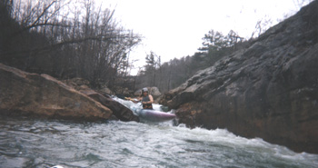
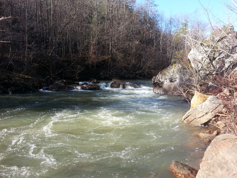
The lower section of Rock Creek features at least five rapids ranging from class III to V+, depending on water levels. These rapids are stacked up one right after the other starting 0.6 mile above Devil’s Creek Road, with the last one coming just before the bridge. For this reason, and also because of the old steel bridge bed further downstream that is a mandatory portage, I personally haven’t run anything below Devil’s Creek Road. However, it appears to be a beautiful stretch of river. The same can be said for the stretch from White Oak Junction bridge until the stacked 0.6 mile -- great scenery, but mostly flatwater.
Scouting is also more difficult because the road climbs the ridge and leaves the creek behind. Fortunately, the road returns to the creek just in time for all the good rapids, and they are easily scouted except in summer, when the foliage is too thick to get a good look at them. Portaging is a bit trickier, as the banks are very steep. It may be easier to portage some rapids on the far bank.
If anyone has more info on the 1.6 miles between Devil’s Creek Road and the Big South Fork, please post a description/photos!
Our most sincere thanks to Daniel Wheeler for this updated description.
For more information, see Canoeing & Kayaking Guide to KY.
A small gravel pull-off allows scouting this drop as you run your shuttle. Actually, many folks will just use this as their put-in, skipping a mostly uneventful 1.7 miles of river.
This is a manky rapid with several potential pin spots. The greatest danger here is failing to get ashore in the long pool below, lest you drift into the next rapid.
If you mess up and fall into this one, you will be slowly digested over a thousand years. Or at least several hours. After a long pool, the entire river drops into a huge suck-hole/sieve, which flushes into a horrible undercut. At high flows, there is a very thin line on river left (maybe 5% of the flow) that *might* be able to get you by the hole, but IMO the risk is not worth the reward here. DO NOT get tricked into thinking you can run this rapid on the far right; the force of the water going into the back side of the undercut is deceptively strong. Portage on the left.
Big ledge hole on the left with some rocky lines on the right that open up with more water. The left line here is a legit class IV when the BSF gauge is maxed out, due to the very powerful hydraulic.
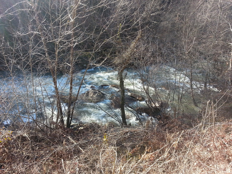
A healthy sampling of red sandstone rocks to dodge. There is at least one bad pin rock that lurks just beneath the surface on river left, near the bank. It is easily seen at levels where it poses a problem.
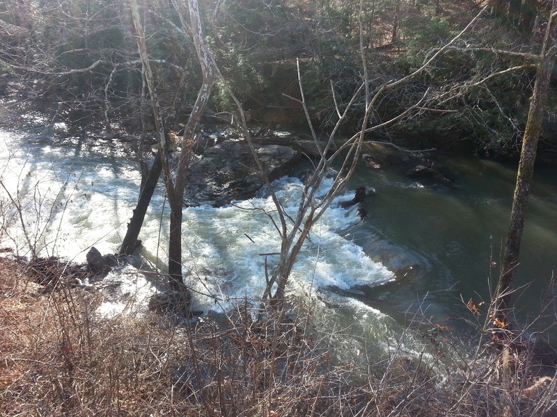
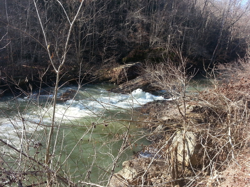
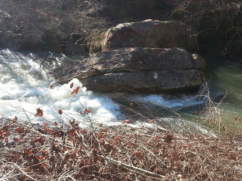
Another beefy ledge hole; this one likes to regurgitate logs. If you’d rather avoid the hole, there is a junky line on river right that opens up at higher flows, but this brings an undercut into play. Lumberjack is the last rapid before the Devil’s Creek Road bridge. Takeout on the left just after the bridge, or continue downstream to the Big South Fork.

On some mapping sites this is labeled 'Rock Creek Road', 'Devils Creek Road', and 'Beech Grove Road'! (It runs along a stream labeled as 'Koger Fork'.) There is good pull-off/parking/access spot here, and most paddlers are likely to take out here to avoid having to deal with the mandatory portage at the debris in the river downstream.
Someone suggested that this may actually be an old piece of mining equipment. Whatever it is, It’s made of thick steel and spans the entire creek. It is a mandatory portage at all levels.
On river-left, the aerial view shows what appears to be a double-track truck trail which may head into/across the creek at this point. (Possible access? Or private? Maybe for powerlines which I think I see crossing at this point?)
There is an (old?) bridge at the confluence, crossing the Cumberland. (It doesn't look like it connects with anything.) There appears to be good parking and access here.
Jan 26, 2014
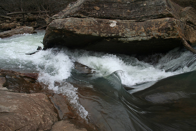
One of the ugliest rapids anywhere. Mandatory portage at all but the highest levels and even then, probably not worth attempting.
Jan 26, 2014
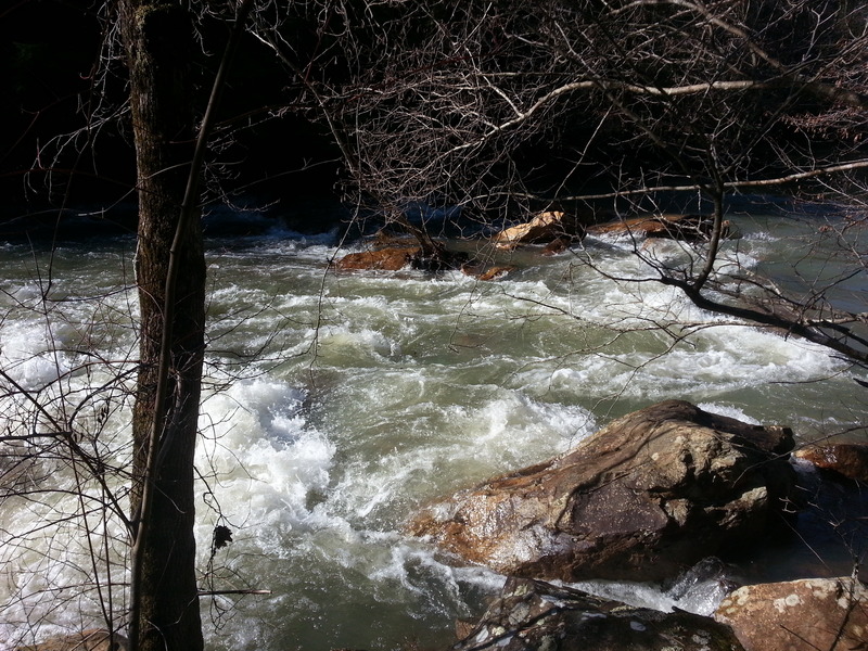
Looking down at Lumberjack, with wood in the right side of the hole as per usual. The sneak route, though not an option at this level, is also completely jammed up with wood.